4 Farm Ln Sudbury, MA 01776
Estimated Value: $2,490,000 - $3,582,000
5
Beds
4
Baths
4,361
Sq Ft
$647/Sq Ft
Est. Value
About This Home
This home is located at 4 Farm Ln, Sudbury, MA 01776 and is currently estimated at $2,822,061, approximately $647 per square foot. 4 Farm Ln is a home located in Middlesex County with nearby schools including Josiah Haynes Elementary School, Ephraim Curtis Middle School, and Lincoln-Sudbury Regional High School.
Ownership History
Date
Name
Owned For
Owner Type
Purchase Details
Closed on
Aug 21, 2014
Sold by
Neff Stephen C and Neff Mary
Bought by
Mary Neff T and Neff Mary
Current Estimated Value
Purchase Details
Closed on
Sep 2, 2011
Sold by
Gruttadauria Joseph and Gruttadauria Wendy
Bought by
Neff Stephen C and Neff Mary
Home Financials for this Owner
Home Financials are based on the most recent Mortgage that was taken out on this home.
Original Mortgage
$900,000
Interest Rate
4.52%
Mortgage Type
Purchase Money Mortgage
Create a Home Valuation Report for This Property
The Home Valuation Report is an in-depth analysis detailing your home's value as well as a comparison with similar homes in the area
Home Values in the Area
Average Home Value in this Area
Purchase History
| Date | Buyer | Sale Price | Title Company |
|---|---|---|---|
| Mary Neff T | -- | -- | |
| Neff Stephen C | $1,865,900 | -- |
Source: Public Records
Mortgage History
| Date | Status | Borrower | Loan Amount |
|---|---|---|---|
| Previous Owner | Neff Stephen C | $900,000 |
Source: Public Records
Tax History Compared to Growth
Tax History
| Year | Tax Paid | Tax Assessment Tax Assessment Total Assessment is a certain percentage of the fair market value that is determined by local assessors to be the total taxable value of land and additions on the property. | Land | Improvement |
|---|---|---|---|---|
| 2025 | $38,319 | $2,617,400 | $688,500 | $1,928,900 |
| 2024 | $36,890 | $2,525,000 | $670,500 | $1,854,500 |
| 2023 | $37,790 | $2,396,300 | $630,900 | $1,765,400 |
| 2022 | $32,403 | $1,795,200 | $544,100 | $1,251,100 |
| 2021 | $35,903 | $1,906,700 | $544,100 | $1,362,600 |
| 2020 | $36,319 | $1,968,500 | $570,900 | $1,397,600 |
| 2019 | $35,256 | $1,968,500 | $570,900 | $1,397,600 |
| 2018 | $34,277 | $1,911,700 | $584,100 | $1,327,600 |
| 2017 | $31,916 | $1,799,100 | $548,100 | $1,251,000 |
| 2016 | $31,294 | $1,758,100 | $529,300 | $1,228,800 |
| 2015 | $30,781 | $1,748,900 | $520,100 | $1,228,800 |
| 2014 | $30,696 | $1,702,500 | $506,900 | $1,195,600 |
Source: Public Records
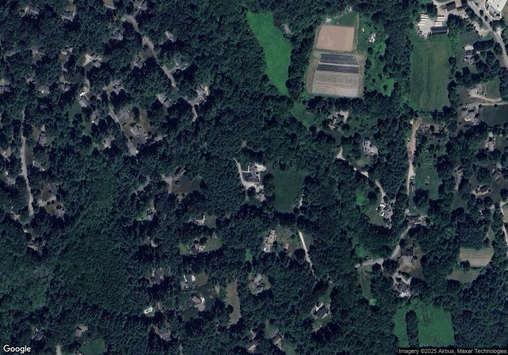
Map
Nearby Homes
- 63 Canterbury Dr
- 14 Frost Ln
- 42 Dakin Rd
- 55 Widow Rites Ln
- 45 Widow Rites Ln
- 16 Blacksmith Dr
- 57 Longfellow Rd
- 5 Taintor Dr
- 29 Longfellow Rd
- 54 Phillips Rd
- 67 Powder Mill Rd
- 589 North Rd
- 12 Camperdown Ln
- 166 Parker St Unit 4
- 427 Concord Rd
- 24 Goodnow Rd
- 401 Emery Ln Unit 104
- 401 Emery Ln Unit 304
- 121 White Pond Way Unit 121
- 67 Old Marlboro Rd
- 4 Farm Ln
- 4 Farm Ln
- 249 Marlboro Rd
- 36 Mossman Rd
- 44 Mossman Rd
- 28 Mossman Rd
- 12 Harvey's Farm Ln
- LOT TWO Harvey's Farm Ln
- 2 Harvey's Farm Ln
- 265 Marlboro Rd
- 20 Farm Ln Unit 10
- 6 Old Coach Rd
- 20 Mossman Rd
- 7 Old Coach Rd
- 243 Marlboro Rd
- 39 Mossman Rd
- 1 Farm Ln
- Lot 1&2 Harvey's Farm Ln
- 261 Marlboro Rd
- 45 Mossman Rd