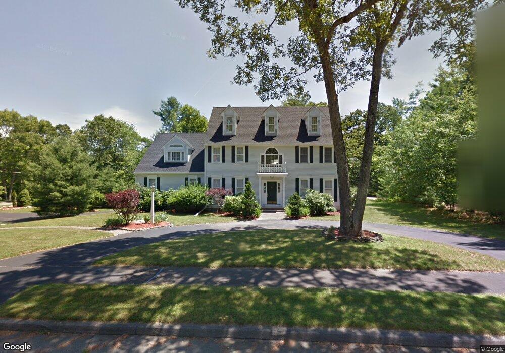
4 Fieldstone Path Walpole, MA 02081
Estimated Value: $1,299,288 - $1,464,000
5
Beds
4
Baths
4,480
Sq Ft
$314/Sq Ft
Est. Value
About This Home
This home is located at 4 Fieldstone Path, Walpole, MA 02081 and is currently estimated at $1,407,572, approximately $314 per square foot. 4 Fieldstone Path is a home located in Norfolk County with nearby schools including Fisher School, Walpole Middle School, and Walpole High School.
Ownership History
Date
Name
Owned For
Owner Type
Purchase Details
Closed on
Feb 15, 2006
Sold by
Hasenjaeger Kathryn
Bought by
Murga Mario G and Allen Stanley R
Current Estimated Value
Home Financials for this Owner
Home Financials are based on the most recent Mortgage that was taken out on this home.
Original Mortgage
$345,000
Outstanding Balance
$194,566
Interest Rate
6.23%
Mortgage Type
Purchase Money Mortgage
Estimated Equity
$1,213,006
Purchase Details
Closed on
Jul 30, 1992
Sold by
Hasenjaeger John T
Bought by
Dahbura Anton T and Dahbura Maria I
Home Financials for this Owner
Home Financials are based on the most recent Mortgage that was taken out on this home.
Original Mortgage
$326,000
Interest Rate
8.46%
Mortgage Type
Purchase Money Mortgage
Create a Home Valuation Report for This Property
The Home Valuation Report is an in-depth analysis detailing your home's value as well as a comparison with similar homes in the area
Home Values in the Area
Average Home Value in this Area
Purchase History
| Date | Buyer | Sale Price | Title Company |
|---|---|---|---|
| Murga Mario G | $765,000 | -- | |
| Dahbura Anton T | $446,000 | -- |
Source: Public Records
Mortgage History
| Date | Status | Borrower | Loan Amount |
|---|---|---|---|
| Open | Murga Mario G | $345,000 | |
| Previous Owner | Dahbura Anton T | $320,000 | |
| Previous Owner | Dahbura Anton T | $320,000 | |
| Previous Owner | Dahbura Anton T | $326,000 |
Source: Public Records
Tax History
| Year | Tax Paid | Tax Assessment Tax Assessment Total Assessment is a certain percentage of the fair market value that is determined by local assessors to be the total taxable value of land and additions on the property. | Land | Improvement |
|---|---|---|---|---|
| 2025 | $16,968 | $1,322,500 | $427,800 | $894,700 |
| 2024 | $16,344 | $1,236,300 | $411,500 | $824,800 |
| 2023 | $14,991 | $1,079,300 | $357,600 | $721,700 |
| 2022 | $13,763 | $951,800 | $331,300 | $620,500 |
| 2021 | $13,562 | $913,900 | $312,700 | $601,200 |
| 2020 | $12,795 | $853,600 | $305,400 | $548,200 |
| 2019 | $12,513 | $828,700 | $293,900 | $534,800 |
| 2018 | $12,757 | $835,400 | $282,400 | $553,000 |
| 2017 | $12,410 | $809,500 | $271,500 | $538,000 |
| 2016 | $12,506 | $803,700 | $290,700 | $513,000 |
| 2015 | $12,332 | $785,500 | $287,300 | $498,200 |
| 2014 | $11,918 | $756,200 | $287,300 | $468,900 |
Source: Public Records
Map
Nearby Homes
- 26 Dover Dr
- 111 Elm St
- 19 and 23 Arlington Ln
- 104 Wood End Ln
- 17 Fairview Rd
- 8 Mckinley Ave
- 241 Fisher St
- 40 Hearthstone Dr
- 115 High St
- 15 Homestead Dr
- 17 Rolling Ln
- 26 Albemarle Rd
- 17 Boyden Rd
- 11 Stonegate Ln
- 82 Pleasant St
- 80 Pleasant St
- 9 Stonegate Dr
- 291 Plimpton St
- 38 Garden Pkwy
- 26 Maple Ln Unit 26
Your Personal Tour Guide
Ask me questions while you tour the home.