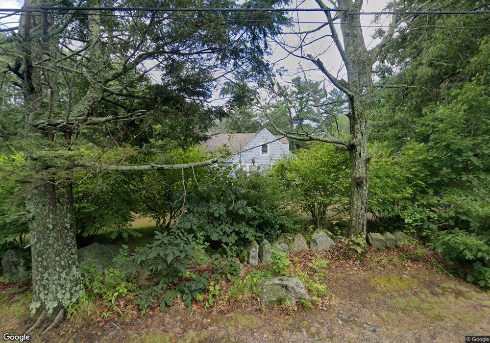
4 Flint St Middleton, MA 01949
Estimated Value: $865,617 - $1,010,000
5
Beds
3
Baths
2,038
Sq Ft
$474/Sq Ft
Est. Value
About This Home
This home is located at 4 Flint St, Middleton, MA 01949 and is currently estimated at $965,404, approximately $473 per square foot. 4 Flint St is a home located in Essex County with nearby schools including Howe-Manning Elementary School, Fuller Meadow Elementary School, and Masconomet Regional Middle School.
Ownership History
Date
Name
Owned For
Owner Type
Purchase Details
Closed on
Mar 13, 2024
Sold by
Stark Isabelle and Stark Thomas P
Bought by
Stark Ft and Stark
Current Estimated Value
Purchase Details
Closed on
Aug 2, 2000
Sold by
Colburne Duane A
Bought by
Stark Isabelle and Stark Thomas P
Purchase Details
Closed on
May 15, 1996
Sold by
Bower Helen F and Colburne Duane
Bought by
Colburne Duane A
Purchase Details
Closed on
Nov 23, 1990
Sold by
Poppel Novem Donna
Bought by
Bower Helen F
Create a Home Valuation Report for This Property
The Home Valuation Report is an in-depth analysis detailing your home's value as well as a comparison with similar homes in the area
Home Values in the Area
Average Home Value in this Area
Purchase History
| Date | Buyer | Sale Price | Title Company |
|---|---|---|---|
| Stark Ft | -- | None Available | |
| Stark Ft | -- | None Available | |
| Stark Ft | -- | None Available | |
| Stark Isabelle | $283,000 | -- | |
| Stark Isabelle | $283,000 | -- | |
| Colburne Duane A | $132,885 | -- | |
| Colburne Duane A | $132,885 | -- | |
| Bower Helen F | $205,000 | -- | |
| Bower Helen F | $205,000 | -- |
Source: Public Records
Mortgage History
| Date | Status | Borrower | Loan Amount |
|---|---|---|---|
| Previous Owner | Bower Helen F | $280,000 | |
| Previous Owner | Bower Helen F | $260,000 |
Source: Public Records
Tax History Compared to Growth
Tax History
| Year | Tax Paid | Tax Assessment Tax Assessment Total Assessment is a certain percentage of the fair market value that is determined by local assessors to be the total taxable value of land and additions on the property. | Land | Improvement |
|---|---|---|---|---|
| 2025 | $8,874 | $746,300 | $346,000 | $400,300 |
| 2024 | $9,098 | $771,700 | $346,000 | $425,700 |
| 2023 | $8,328 | $647,100 | $346,000 | $301,100 |
| 2022 | $7,743 | $584,400 | $311,700 | $272,700 |
| 2021 | $7,294 | $531,600 | $277,700 | $253,900 |
| 2020 | $6,873 | $504,600 | $253,700 | $250,900 |
| 2019 | $7,152 | $522,400 | $261,700 | $260,700 |
| 2018 | $6,857 | $491,200 | $257,700 | $233,500 |
| 2017 | $6,234 | $446,900 | $227,700 | $219,200 |
| 2016 | $5,560 | $400,300 | $197,700 | $202,600 |
| 2015 | $5,393 | $391,400 | $201,700 | $189,700 |
Source: Public Records
Map
Nearby Homes
- 151 Russell St
- 62 Cabral Dr
- 15 Couture Way
- 1 Couture Way
- 5 Theresa Rd
- 6 White Ln
- 119 River St
- 1466 Main St
- 62 Catherine Dr
- 44 Brassie Way
- 103 Elm St
- 2 Tyler Ln
- Beverly Plan at Willis Brook at Lynnfield
- Sutton Plan at Willis Brook at Lynnfield
- Topsfield Plan at Willis Brook at Lynnfield
- Westford Plan at Willis Brook at Lynnfield
- 19 Fairway Ln
- 19 Fairway Ln Unit 53
- 1 Stableford Ct Unit 13
- 28 Niblick Way