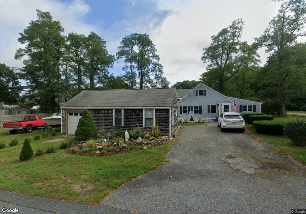
4 Freeman St Buzzards Bay, MA 02532
Estimated Value: $538,000 - $766,513
Studio
2
Baths
--
Sq Ft
17,163
Sq Ft Lot
About This Home
This home is located at 4 Freeman St, Buzzards Bay, MA 02532 and is currently estimated at $613,128. 4 Freeman St is a home located in Barnstable County with nearby schools including Bourne High School, St Margaret Regional School, and Cadence Academy Preschool - Bourne.
Ownership History
Date
Name
Owned For
Owner Type
Purchase Details
Closed on
Aug 22, 1994
Sold by
Jeffries Carolyn J
Bought by
Lavelle Edward F and Lavelle Kathleen M
Current Estimated Value
Home Financials for this Owner
Home Financials are based on the most recent Mortgage that was taken out on this home.
Original Mortgage
$66,000
Interest Rate
8.61%
Mortgage Type
Purchase Money Mortgage
Create a Home Valuation Report for This Property
The Home Valuation Report is an in-depth analysis detailing your home's value as well as a comparison with similar homes in the area
Purchase History
| Date | Buyer | Sale Price | Title Company |
|---|---|---|---|
| Lavelle Edward F | $88,000 | -- | |
| Lavelle Edward F | $88,000 | -- |
Source: Public Records
Mortgage History
| Date | Status | Borrower | Loan Amount |
|---|---|---|---|
| Open | Lavelle Edward F | $125,000 | |
| Closed | Lavelle Edward F | $66,000 |
Source: Public Records
Tax History
| Year | Tax Paid | Tax Assessment Tax Assessment Total Assessment is a certain percentage of the fair market value that is determined by local assessors to be the total taxable value of land and additions on the property. | Land | Improvement |
|---|---|---|---|---|
| 2025 | $5,171 | $662,100 | $237,000 | $425,100 |
| 2024 | $5,057 | $630,500 | $225,700 | $404,800 |
| 2023 | $4,924 | $558,900 | $199,800 | $359,100 |
| 2022 | $4,665 | $462,300 | $176,800 | $285,500 |
| 2021 | $4,565 | $423,900 | $160,900 | $263,000 |
| 2020 | $4,121 | $383,700 | $159,400 | $224,300 |
| 2019 | $3,906 | $371,600 | $159,400 | $212,200 |
| 2018 | $3,711 | $352,100 | $151,800 | $200,300 |
| 2017 | $3,596 | $349,100 | $150,400 | $198,700 |
| 2016 | $3,220 | $316,900 | $150,300 | $166,600 |
| 2015 | $3,191 | $316,900 | $150,300 | $166,600 |
Source: Public Records
Map
Nearby Homes
- 60 Sandwich Rd
- 10 Sandy Ln
- 3 Honora Ln Unit 3
- 6 Honora Ct
- 38 Old Bridge Rd
- 44 Cotuit Rd
- 304 Main St
- 24 Ships View Terrace
- 5 Zoli Ln
- 58 Maple St
- 5 Sea Knoll Ct
- 46 Holt Rd Unit B
- 46 Holt Rd
- 13 Laurel Hill Ct
- 29 Weather Deck Rd
- 4 Hollyhock Knoll Ct Unit 4
- 4 Hollyhock Knoll Ct Unit 4
- 23 Alderberry Rd
- 12 Turnberry Rd Unit 12
- 203 County Rd
Your Personal Tour Guide
Ask me questions while you tour the home.