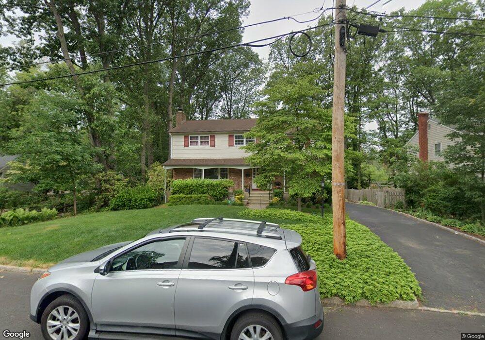
4 Fremont Rd Summit, NJ 07901
Estimated Value: $1,286,112 - $1,669,000
--
Bed
--
Bath
2,410
Sq Ft
$644/Sq Ft
Est. Value
About This Home
This home is located at 4 Fremont Rd, Summit, NJ 07901 and is currently estimated at $1,552,778, approximately $644 per square foot. 4 Fremont Rd is a home located in Union County with nearby schools including L C Johnson Summit Middle School, Summit Sr High School, and Kent Place School.
Ownership History
Date
Name
Owned For
Owner Type
Purchase Details
Closed on
Oct 20, 2000
Sold by
Gilmartin James R and Gilmartin Anita
Bought by
Ludden Charles R and Ludden Eileen A Forman
Current Estimated Value
Home Financials for this Owner
Home Financials are based on the most recent Mortgage that was taken out on this home.
Original Mortgage
$472,000
Outstanding Balance
$171,025
Interest Rate
7.83%
Mortgage Type
Purchase Money Mortgage
Estimated Equity
$1,381,753
Create a Home Valuation Report for This Property
The Home Valuation Report is an in-depth analysis detailing your home's value as well as a comparison with similar homes in the area
Home Values in the Area
Average Home Value in this Area
Purchase History
| Date | Buyer | Sale Price | Title Company |
|---|---|---|---|
| Ludden Charles R | $590,000 | -- |
Source: Public Records
Mortgage History
| Date | Status | Borrower | Loan Amount |
|---|---|---|---|
| Open | Ludden Charles R | $472,000 |
Source: Public Records
Tax History Compared to Growth
Tax History
| Year | Tax Paid | Tax Assessment Tax Assessment Total Assessment is a certain percentage of the fair market value that is determined by local assessors to be the total taxable value of land and additions on the property. | Land | Improvement |
|---|---|---|---|---|
| 2025 | $15,481 | $355,400 | $150,800 | $204,600 |
| 2024 | $15,378 | $355,400 | $150,800 | $204,600 |
| 2023 | $15,378 | $355,400 | $150,800 | $204,600 |
| 2022 | $15,222 | $355,400 | $150,800 | $204,600 |
| 2021 | $15,343 | $355,400 | $150,800 | $204,600 |
| 2020 | $15,495 | $355,400 | $150,800 | $204,600 |
| 2019 | $15,513 | $355,400 | $150,800 | $204,600 |
| 2018 | $15,414 | $355,400 | $150,800 | $204,600 |
| 2017 | $15,513 | $355,400 | $150,800 | $204,600 |
| 2016 | $13,866 | $322,400 | $150,800 | $171,600 |
| 2015 | $13,596 | $322,400 | $150,800 | $171,600 |
| 2014 | $13,244 | $322,400 | $150,800 | $171,600 |
Source: Public Records
Map
Nearby Homes
- 37 Wade Dr
- 22 Bedford Rd
- 475 Morris Ave
- 50 Bellevue Ave
- 16 Lowell Ave
- 37 Plain St
- 390 Morris Ave Unit 35
- 115 Beechwood Rd
- 166 Colonial Rd
- 30 Wildwood Ln
- 23 Euclid Ave
- 2 Rose Ln
- 181 Summit Ave
- 60 Fernwood Rd
- 50 Parmley Place Unit 203
- 149 Hillcrest Ave
- 55 Oxbow Ln
- 57 Parrott Mill Rd
- 133 Summit Ave Unit 10
- 27 Beekman Rd