4 Gilbert Ln Foxboro, MA 02035
Estimated Value: $1,615,000 - $1,860,000
5
Beds
5
Baths
4,869
Sq Ft
$350/Sq Ft
Est. Value
About This Home
This home is located at 4 Gilbert Ln, Foxboro, MA 02035 and is currently estimated at $1,705,940, approximately $350 per square foot. 4 Gilbert Ln is a home located in Norfolk County with nearby schools including Foxborough High School, Hands-On-Montessori School, and St Mary's Catholic School.
Ownership History
Date
Name
Owned For
Owner Type
Purchase Details
Closed on
Mar 31, 2023
Sold by
Patel Brian B and Patel Hasel B
Bought by
Hasel B Patel 2012 Ret
Current Estimated Value
Purchase Details
Closed on
Apr 25, 2018
Sold by
Maystar Realty Corp
Bought by
Patel Brian B and Patel Hasel B
Home Financials for this Owner
Home Financials are based on the most recent Mortgage that was taken out on this home.
Original Mortgage
$845,446
Interest Rate
4.44%
Mortgage Type
Unknown
Purchase Details
Closed on
Jun 16, 2017
Sold by
Kcs Rt
Bought by
Maystar Realty Corp
Purchase Details
Closed on
Sep 22, 2014
Sold by
Spier Gregory P and Crane-Spier Kathryn
Bought by
Kcs Rt
Purchase Details
Closed on
Dec 9, 2005
Sold by
Maystar Rlty Corp
Bought by
Flynn Patricia A and Flynn Robert M
Purchase Details
Closed on
Mar 14, 2005
Sold by
Stonehurst Ltd
Bought by
Spier Gregory P and Spier Kathryn C
Create a Home Valuation Report for This Property
The Home Valuation Report is an in-depth analysis detailing your home's value as well as a comparison with similar homes in the area
Home Values in the Area
Average Home Value in this Area
Purchase History
| Date | Buyer | Sale Price | Title Company |
|---|---|---|---|
| Hasel B Patel 2012 Ret | -- | None Available | |
| Patel Brian B | $1,247,840 | -- | |
| Maystar Realty Corp | $365,000 | -- | |
| Kcs Rt | -- | -- | |
| Flynn Patricia A | $1,587,000 | -- | |
| Spier Gregory P | $180,000 | -- |
Source: Public Records
Mortgage History
| Date | Status | Borrower | Loan Amount |
|---|---|---|---|
| Previous Owner | Patel Brian B | $845,446 |
Source: Public Records
Tax History
| Year | Tax Paid | Tax Assessment Tax Assessment Total Assessment is a certain percentage of the fair market value that is determined by local assessors to be the total taxable value of land and additions on the property. | Land | Improvement |
|---|---|---|---|---|
| 2025 | $19,066 | $1,442,200 | $413,700 | $1,028,500 |
| 2024 | $18,433 | $1,364,400 | $373,700 | $990,700 |
| 2023 | $17,858 | $1,256,700 | $381,300 | $875,400 |
| 2022 | $17,396 | $1,198,100 | $354,400 | $843,700 |
| 2021 | $17,613 | $1,194,900 | $365,300 | $829,600 |
| 2020 | $17,000 | $1,166,800 | $365,300 | $801,500 |
| 2019 | $14,197 | $965,800 | $296,400 | $669,400 |
| 2018 | $4,319 | $296,400 | $296,400 | $0 |
| 2017 | $4,172 | $277,400 | $277,400 | $0 |
| 2016 | $4,673 | $315,300 | $315,300 | $0 |
| 2015 | $4,177 | $275,000 | $275,000 | $0 |
| 2014 | $4,122 | $275,000 | $275,000 | $0 |
Source: Public Records
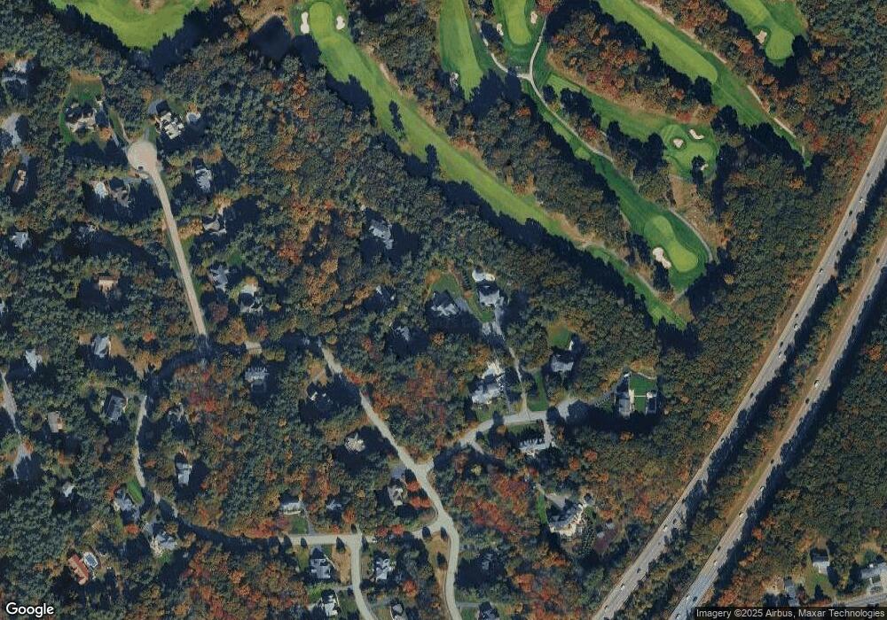
Map
Nearby Homes
Your Personal Tour Guide
Ask me questions while you tour the home.