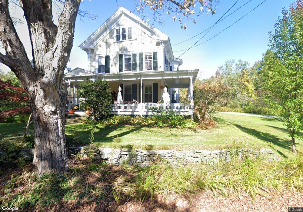
4 Goodnow Rd Princeton, MA 01541
Estimated Value: $880,295 - $1,152,000
4
Beds
2
Baths
3,424
Sq Ft
$286/Sq Ft
Est. Value
About This Home
This home is located at 4 Goodnow Rd, Princeton, MA 01541 and is currently estimated at $978,432, approximately $285 per square foot. 4 Goodnow Rd is a home located in Worcester County with nearby schools including Wachusett Regional High School.
Ownership History
Date
Name
Owned For
Owner Type
Purchase Details
Closed on
Oct 15, 2009
Sold by
Sands Roger D and Sands Marcia L
Bought by
Sands Lt and Sands Marcia L
Current Estimated Value
Purchase Details
Closed on
Jan 16, 1992
Sold by
Kavanagh John
Bought by
Sands Roger D and Sands Marcia
Purchase Details
Closed on
Sep 15, 1987
Sold by
Davis Kenneth S
Bought by
Kavanagh John A
Create a Home Valuation Report for This Property
The Home Valuation Report is an in-depth analysis detailing your home's value as well as a comparison with similar homes in the area
Home Values in the Area
Average Home Value in this Area
Purchase History
| Date | Buyer | Sale Price | Title Company |
|---|---|---|---|
| Sands Lt | -- | -- | |
| Sands Roger D | $180,000 | -- | |
| Kavanagh John A | $265,000 | -- |
Source: Public Records
Mortgage History
| Date | Status | Borrower | Loan Amount |
|---|---|---|---|
| Open | Kavanagh John A | $250,000 | |
| Previous Owner | Kavanagh John A | $105,500 |
Source: Public Records
Tax History
| Year | Tax Paid | Tax Assessment Tax Assessment Total Assessment is a certain percentage of the fair market value that is determined by local assessors to be the total taxable value of land and additions on the property. | Land | Improvement |
|---|---|---|---|---|
| 2025 | $11,990 | $825,200 | $171,700 | $653,500 |
| 2024 | $11,286 | $804,400 | $171,700 | $632,700 |
| 2023 | $10,606 | $700,500 | $136,900 | $563,600 |
| 2022 | $10,136 | $646,400 | $136,900 | $509,500 |
| 2021 | $9,990 | $619,700 | $140,000 | $479,700 |
| 2020 | $3,256 | $609,500 | $140,000 | $469,500 |
| 2019 | $9,630 | $601,100 | $136,800 | $464,300 |
| 2018 | $8,863 | $512,900 | $108,100 | $404,800 |
| 2017 | $7,693 | $432,700 | $147,900 | $284,800 |
| 2016 | $7,702 | $432,700 | $147,900 | $284,800 |
| 2015 | $7,403 | $427,900 | $150,300 | $277,600 |
Source: Public Records
Map
Nearby Homes
- 13 Goodnow Rd
- 20 Mountain Rd
- 134 Mountain Rd
- 56 Hubbardston Rd
- 9 Stagecoach Rd
- 45 Old Colony Rd
- 140 Ridge Rd
- 386 Redemption Rock Trail
- 569 E County Rd
- 147 E County Rd Unit 149
- 139 E County Rd Unit 139
- 186 Justice Hill Rd Unit Oakmont
- 186 Justice Hill Rd Unit Mod Farm
- 207 W Princeton Rd
- 376 Elmwood Ave
- 0 North St
- 45 Neylon St
- 35 Brintnal Dr
- 14 Grizzly Dr
- 717 Wachusett St
- 68 Hubbardston Rd
- 73 Hubbardston Rd
- Lot D Hubbardston Rd
- Lot A Hubbardston Rd
- 52 Hubbardston Rd
- 8 Radford Rd
- 80 Hubbardston Rd
- 14 Goodnow Rd
- 12 Radford Rd
- 81 Hubbardston Rd
- 7 Goodnow Rd
- 11 Radford Rd
- 18 Radford Rd
- 7 Radford Rd
- 48 Hubbardston Rd
- 15 Radford Rd
- 9 Allen Hill Rd
- 86 Hubbardston Rd
- 46 Hubbardston Rd
- 43 Hubbardston Rd