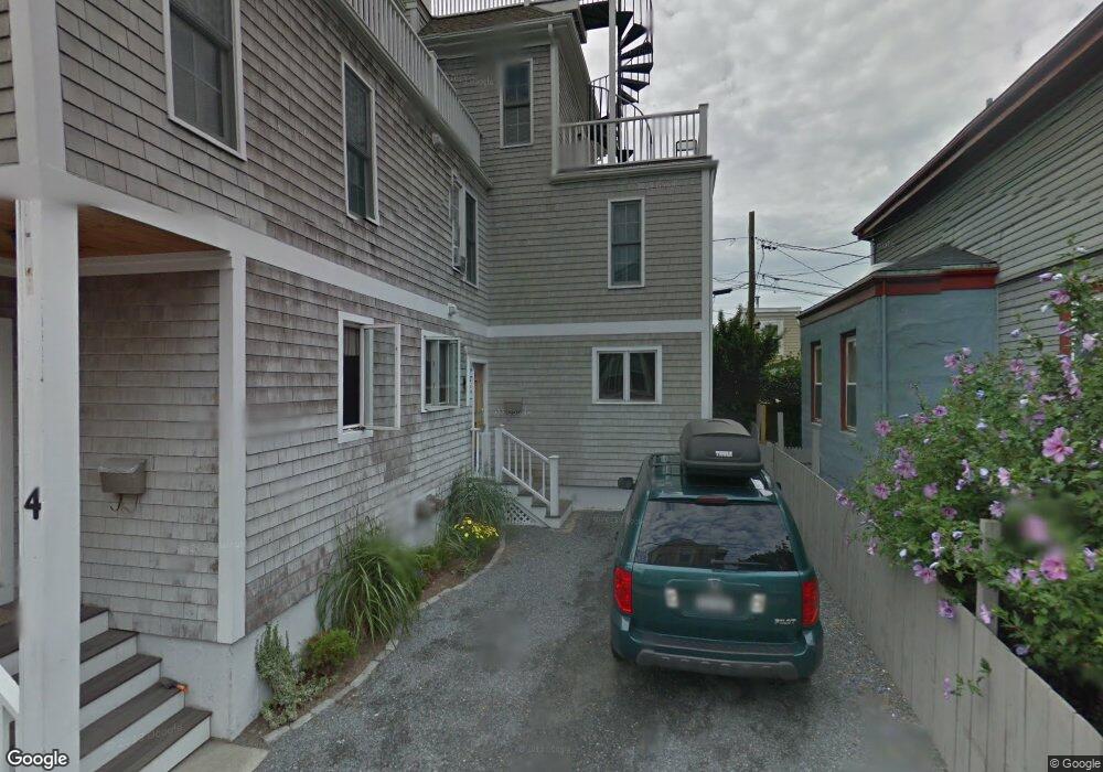
4 Goodwin St Unit 2 Newport, RI 02840
Fifth Ward NeighborhoodEstimated Value: $1,237,000 - $2,406,000
4
Beds
3
Baths
2,003
Sq Ft
$828/Sq Ft
Est. Value
About This Home
This home is located at 4 Goodwin St Unit 2, Newport, RI 02840 and is currently estimated at $1,657,859, approximately $827 per square foot. 4 Goodwin St Unit 2 is a home located in Newport County with nearby schools including Rogers High School, St Michael's Country Day School, and St George's School.
Ownership History
Date
Name
Owned For
Owner Type
Purchase Details
Closed on
Nov 15, 2006
Sold by
Harkins Christopher
Bought by
Kostek Dorothy and Dunnigan Shannon
Current Estimated Value
Home Financials for this Owner
Home Financials are based on the most recent Mortgage that was taken out on this home.
Original Mortgage
$417,000
Outstanding Balance
$248,319
Interest Rate
6.33%
Mortgage Type
Purchase Money Mortgage
Estimated Equity
$1,409,540
Purchase Details
Closed on
Nov 5, 2001
Sold by
Ragone Pauline Est
Bought by
Harkins Christopher
Create a Home Valuation Report for This Property
The Home Valuation Report is an in-depth analysis detailing your home's value as well as a comparison with similar homes in the area
Home Values in the Area
Average Home Value in this Area
Purchase History
| Date | Buyer | Sale Price | Title Company |
|---|---|---|---|
| Kostek Dorothy | $555,000 | -- | |
| Harkins Christopher | $170,000 | -- |
Source: Public Records
Mortgage History
| Date | Status | Borrower | Loan Amount |
|---|---|---|---|
| Open | Harkins Christopher | $417,000 |
Source: Public Records
Tax History
| Year | Tax Paid | Tax Assessment Tax Assessment Total Assessment is a certain percentage of the fair market value that is determined by local assessors to be the total taxable value of land and additions on the property. | Land | Improvement |
|---|---|---|---|---|
| 2025 | $7,491 | $862,100 | $0 | $862,100 |
| 2024 | $7,086 | $862,100 | $0 | $862,100 |
| 2023 | $5,666 | $571,200 | $0 | $571,200 |
| 2022 | $5,489 | $571,200 | $0 | $571,200 |
| 2021 | $5,329 | $571,200 | $0 | $571,200 |
| 2020 | $4,928 | $479,400 | $0 | $479,400 |
| 2019 | $4,928 | $479,400 | $0 | $479,400 |
| 2018 | $4,789 | $479,400 | $0 | $479,400 |
| 2017 | $5,615 | $500,900 | $0 | $500,900 |
| 2016 | $5,475 | $500,900 | $0 | $500,900 |
| 2015 | $5,345 | $500,900 | $0 | $500,900 |
| 2014 | $5,375 | $445,700 | $0 | $445,700 |
Source: Public Records
Map
Nearby Homes
- 30 S Baptist St
- 6 Sharon Ct
- 2 Perry St
- 5 Lee's Wharf
- 5 Lee's
- 20 East St Unit 2A
- 24 Brown and Howard Wharf Unit 301
- 32 Houston Ave
- 15 Narragansett Ave Unit 2
- 59 Houston Ave
- 57 Clinton St Unit 57C
- 2 Harbor View Dr
- 401 Bellevue Ave Unit 112
- 421 Bellevue Ave Unit 3B
- 39 Connection St
- 20 Fair St
- 75 Roseneath Ave
- 28 John St Unit 30
- 5 Meikle Ave
- 20 Berkeley Ave Unit 2
- 4 Goodwin St Unit 1
- 4 Goodwin St Unit B
- 4 Goodwin St Unit A
- 4 Goodwin St
- 2 Goodwin St
- 2 Goodwin St Unit 2
- 2 Goodwin St Unit 1
- 539 Thames St Unit 541
- 8 Goodwin St
- 527 Thames St
- 527 Thames St Unit 3
- 537 Thames St
- 11 Harrington St
- 525 Thames St Unit 1
- 525 Thames St Unit 2
- 5 Goodwin St
- 7 Harrington St
- 3 Goodwin St
- 523 Thames St Unit 525
- 13 Harrington St
Your Personal Tour Guide
Ask me questions while you tour the home.