4 Gosnold Ave South Dartmouth, MA 02748
Cow Yard/Nonquitt NeighborhoodEstimated Value: $1,200,000 - $2,069,000
5
Beds
4
Baths
3,180
Sq Ft
$502/Sq Ft
Est. Value
About This Home
This home is located at 4 Gosnold Ave, South Dartmouth, MA 02748 and is currently estimated at $1,596,303, approximately $501 per square foot. 4 Gosnold Ave is a home located in Bristol County with nearby schools including Dartmouth High School.
Ownership History
Date
Name
Owned For
Owner Type
Purchase Details
Closed on
Jul 1, 2021
Sold by
Honor Bright Lp
Bought by
Purnell Elliott B and Odiseos Alexis J
Current Estimated Value
Home Financials for this Owner
Home Financials are based on the most recent Mortgage that was taken out on this home.
Original Mortgage
$860,000
Outstanding Balance
$780,317
Interest Rate
2.9%
Mortgage Type
Purchase Money Mortgage
Estimated Equity
$815,986
Create a Home Valuation Report for This Property
The Home Valuation Report is an in-depth analysis detailing your home's value as well as a comparison with similar homes in the area
Home Values in the Area
Average Home Value in this Area
Purchase History
| Date | Buyer | Sale Price | Title Company |
|---|---|---|---|
| Purnell Elliott B | $1,075,000 | None Available |
Source: Public Records
Mortgage History
| Date | Status | Borrower | Loan Amount |
|---|---|---|---|
| Open | Purnell Elliott B | $860,000 |
Source: Public Records
Tax History Compared to Growth
Tax History
| Year | Tax Paid | Tax Assessment Tax Assessment Total Assessment is a certain percentage of the fair market value that is determined by local assessors to be the total taxable value of land and additions on the property. | Land | Improvement |
|---|---|---|---|---|
| 2025 | $12,114 | $1,407,000 | $874,500 | $532,500 |
| 2024 | $12,237 | $1,408,200 | $941,400 | $466,800 |
| 2023 | $10,045 | $1,095,400 | $664,400 | $431,000 |
| 2022 | $10,106 | $1,020,800 | $664,400 | $356,400 |
| 2021 | $10,997 | $1,061,500 | $745,800 | $315,700 |
| 2020 | $12,024 | $1,158,400 | $856,000 | $302,400 |
| 2019 | $11,875 | $1,141,800 | $856,000 | $285,800 |
| 2018 | $11,977 | $1,172,700 | $901,400 | $271,300 |
| 2017 | $11,279 | $1,125,600 | $850,200 | $275,400 |
| 2016 | $11,138 | $1,096,300 | $850,200 | $246,100 |
| 2015 | $10,646 | $1,049,900 | $800,200 | $249,700 |
| 2014 | $10,440 | $1,022,500 | $777,700 | $244,800 |
Source: Public Records
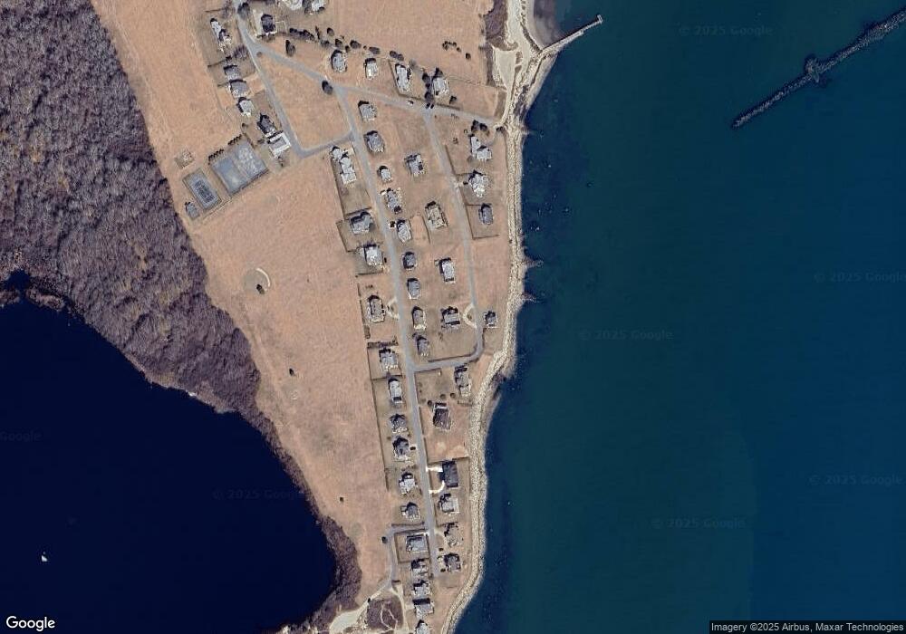
Map
Nearby Homes
- 12 Meadow Shores Rd
- 158 Little River Rd
- 24 Eagle Dr
- 62 Hetty Green St Unit 62
- 48 N Shore Dr Unit 3&7
- 48 N Shore Dr Unit 8
- 482 Smith Neck Rd
- 24 White Alder Way
- Lot 1 Rafael Rd
- 105 Rock Odundee Rd
- 738 Smith Neck Rd
- 61 Pardon Hill Rd
- Lot 2E Horseneck Rd
- Lot 2 Horseneck Rd
- 23 High St
- 248 Bakerville Rd
- 40 School St
- 1150 Russells Mills Rd
- 0 Stoneledge Rd
- 00 Prospect St