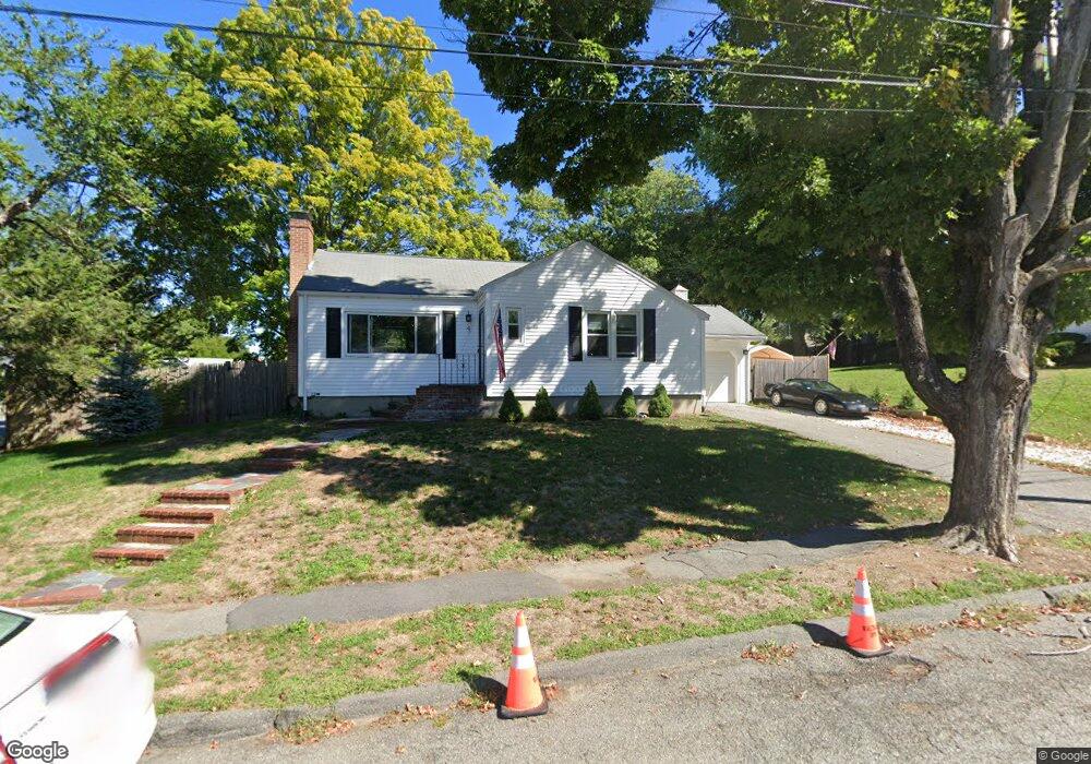
4 Greer St Waltham, MA 02452
North Waltham NeighborhoodEstimated Value: $701,000 - $803,179
2
Beds
1
Bath
927
Sq Ft
$794/Sq Ft
Est. Value
About This Home
This home is located at 4 Greer St, Waltham, MA 02452 and is currently estimated at $736,045, approximately $794 per square foot. 4 Greer St is a home located in Middlesex County with nearby schools including Northeast Elementary School, John F Kennedy Middle School, and Waltham Sr High School.
Ownership History
Date
Name
Owned For
Owner Type
Purchase Details
Closed on
Aug 31, 2017
Sold by
Parrella Lorri S
Bought by
Swanton William G
Current Estimated Value
Home Financials for this Owner
Home Financials are based on the most recent Mortgage that was taken out on this home.
Original Mortgage
$384,700
Outstanding Balance
$320,234
Interest Rate
3.96%
Mortgage Type
New Conventional
Estimated Equity
$415,811
Purchase Details
Closed on
Apr 15, 2004
Sold by
Bernard David L Admnr and Bernard Ralph E
Bought by
Parrella Lorri Shea
Purchase Details
Closed on
Jun 20, 1995
Sold by
Berman Dorothy
Bought by
Bernard Ralph
Create a Home Valuation Report for This Property
The Home Valuation Report is an in-depth analysis detailing your home's value as well as a comparison with similar homes in the area
Home Values in the Area
Average Home Value in this Area
Purchase History
| Date | Buyer | Sale Price | Title Company |
|---|---|---|---|
| Swanton William G | $405,000 | -- | |
| Parrella Lorri Shea | -- | -- | |
| Bernard Ralph | $150,000 | -- |
Source: Public Records
Mortgage History
| Date | Status | Borrower | Loan Amount |
|---|---|---|---|
| Open | Swanton William G | $384,700 |
Source: Public Records
Tax History
| Year | Tax Paid | Tax Assessment Tax Assessment Total Assessment is a certain percentage of the fair market value that is determined by local assessors to be the total taxable value of land and additions on the property. | Land | Improvement |
|---|---|---|---|---|
| 2025 | $6,597 | $671,800 | $460,300 | $211,500 |
| 2024 | $6,250 | $648,300 | $439,900 | $208,400 |
| 2023 | $6,174 | $598,300 | $399,200 | $199,100 |
| 2022 | $6,128 | $550,100 | $358,500 | $191,600 |
| 2021 | $6,103 | $539,100 | $358,500 | $180,600 |
| 2020 | $5,983 | $500,700 | $334,000 | $166,700 |
| 2019 | $5,981 | $472,400 | $330,000 | $142,400 |
| 2018 | $5,450 | $432,200 | $305,500 | $126,700 |
| 2017 | $5,070 | $432,200 | $305,500 | $126,700 |
| 2016 | $4,742 | $387,400 | $260,700 | $126,700 |
| 2015 | $4,563 | $347,500 | $228,100 | $119,400 |
Source: Public Records
Map
Nearby Homes
- 107 Clocktower Dr Unit 3302
- 1105 Lexington St Unit 6-4
- 345 Bishops Forest Dr
- 86 Indian Rd
- 14 Piedmont Ave
- 89 Hardy Pond Rd
- 353 Concord Ave
- 203 College Farm Rd
- 9 April Ln Unit 9
- 44 Lakeview Terrace
- 23 Hillcrest St
- 28 Hillcrest St
- 12 Wellington Lane Ave
- 21 Lakeview Ave
- 12 Curve St
- 501 Lexington St Unit 11
- 49 Lincoln St
- 8 Dobbins St
- 32 Moon Hill Rd
- 7 Field Rd
Your Personal Tour Guide
Ask me questions while you tour the home.