4 Gressman Ln Bridgeton, NJ 08302
Estimated Value: $139,000 - $209,000
2
Beds
1
Bath
672
Sq Ft
$263/Sq Ft
Est. Value
About This Home
This home is located at 4 Gressman Ln, Bridgeton, NJ 08302 and is currently estimated at $176,852, approximately $263 per square foot. 4 Gressman Ln is a home located in Cumberland County with nearby schools including Hopewell Crest School, Cumberland Regional High School, and Bridgeton Christian School.
Ownership History
Date
Name
Owned For
Owner Type
Purchase Details
Closed on
Oct 1, 2024
Sold by
Coba Inc
Bought by
Corn George and Corn Sandra
Current Estimated Value
Purchase Details
Closed on
Oct 31, 2023
Sold by
Cumberland County Sheriff
Bought by
Td Bank Na and Coba Inc
Purchase Details
Closed on
Jan 18, 1990
Bought by
Mcdowell David Thomas
Create a Home Valuation Report for This Property
The Home Valuation Report is an in-depth analysis detailing your home's value as well as a comparison with similar homes in the area
Home Values in the Area
Average Home Value in this Area
Purchase History
| Date | Buyer | Sale Price | Title Company |
|---|---|---|---|
| Corn George | $38,000 | Westcor Land Title | |
| Corn George | $38,000 | Westcor Land Title | |
| Td Bank Na | -- | None Listed On Document | |
| Td Bank Na | -- | None Listed On Document | |
| Mcdowell David Thomas | -- | -- |
Source: Public Records
Tax History Compared to Growth
Tax History
| Year | Tax Paid | Tax Assessment Tax Assessment Total Assessment is a certain percentage of the fair market value that is determined by local assessors to be the total taxable value of land and additions on the property. | Land | Improvement |
|---|---|---|---|---|
| 2025 | $3,678 | $26,700 | $26,700 | -- |
| 2024 | $3,678 | $101,000 | $26,700 | $74,300 |
| 2023 | $3,505 | $101,000 | $26,700 | $74,300 |
| 2022 | $3,337 | $101,000 | $26,700 | $74,300 |
| 2021 | $3,386 | $101,000 | $26,700 | $74,300 |
| 2020 | $3,436 | $101,000 | $26,700 | $74,300 |
| 2019 | $3,386 | $101,000 | $26,700 | $74,300 |
| 2018 | $3,272 | $101,000 | $26,700 | $74,300 |
| 2017 | $3,171 | $101,000 | $26,700 | $74,300 |
| 2016 | $2,581 | $69,100 | $21,300 | $47,800 |
| 2015 | $2,532 | $69,100 | $21,300 | $47,800 |
| 2014 | $2,542 | $69,100 | $21,300 | $47,800 |
Source: Public Records
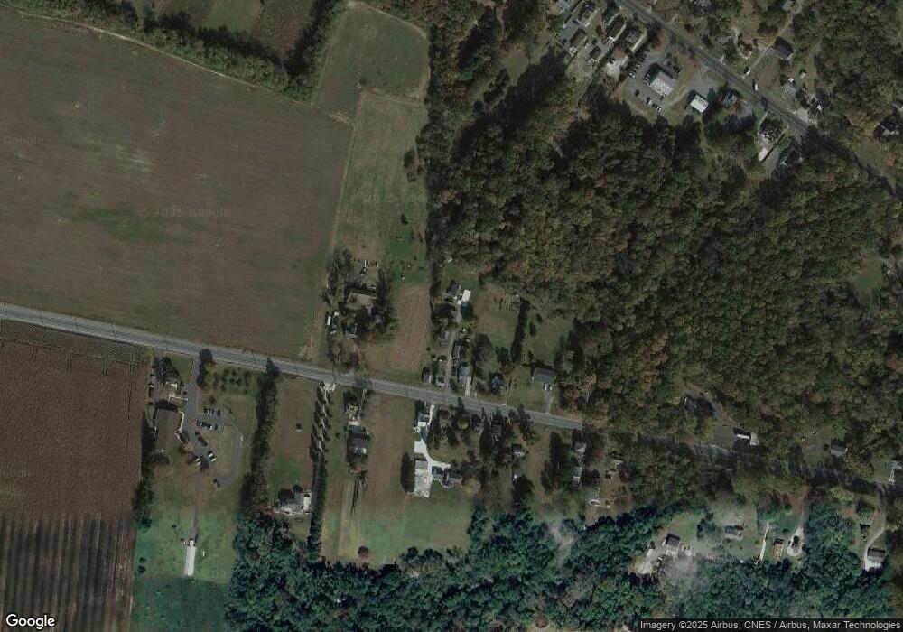
Map
Nearby Homes
- 395 W Broad St
- 34 Townsend Ave
- 262 Roadstown Rd
- 47 Westwood Ave
- 28 Osborn Ln
- 225 W Commerce St
- 262 W Park Dr
- 252 W Park Dr
- 4 Tipton Dr
- 151 W Commerce St
- 642 Shiloh Pike
- 195 Mary Elmer Dr
- 16 Field Stone Ct
- 242 Belmont Ave
- 24 Nestler Rd
- 16 New St
- 177 Elwell Terrace
- 26 Franklin Dr
- 117 Grandview Dr
- 159 Fayette St
- 2 Gressman Ln
- 6 Gressman Ln
- 167 Roadstown Rd
- 169 Roadstown Rd Unit 171
- 163 Roadstown Rd
- 159 Roadstown Rd
- 166 Roadstown Rd
- 158 Roadstown Rd Unit 160
- 158 Roadstown Rd
- 162 Roadstown Rd
- 180 Roadstown Rd
- 153 Roadstown Rd
- 168 Roadstown Rd
- 170 Roadstown Rd Unit 172
- 0 Edwina Unit CV22019933
- 539 East
- * Garton Rd (New Home)
- Laurel Laurel Ln
- Lot 13 Cobbs Mill Rd
- 11.11 Shiloh Rd