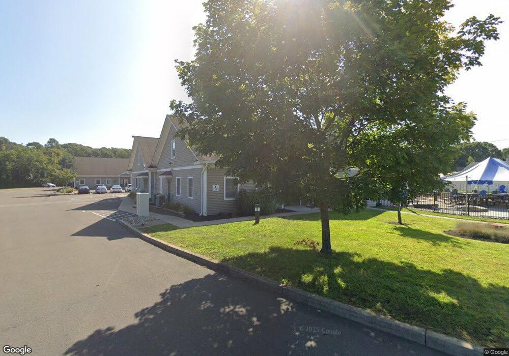
4 Grove Beach Rd N Westbrook, CT 06498
Estimated Value: $1,234,984
--
Bed
--
Bath
--
Sq Ft
9.88
Acres
About This Home
This home is located at 4 Grove Beach Rd N, Westbrook, CT 06498 and is currently estimated at $1,234,984. 4 Grove Beach Rd N is a home located in Middlesex County with nearby schools including Daisy Ingraham School, Westbrook Middle School, and Westbrook High School.
Ownership History
Date
Name
Owned For
Owner Type
Purchase Details
Closed on
Jul 6, 2005
Sold by
Gbr Llc
Bought by
Westbrook Medical Ctr
Current Estimated Value
Home Financials for this Owner
Home Financials are based on the most recent Mortgage that was taken out on this home.
Original Mortgage
$1,600,000
Interest Rate
5.81%
Mortgage Type
Commercial
Purchase Details
Closed on
Sep 30, 2002
Sold by
Stephen Boski Ret and Boski
Bought by
Kinsella Tr George
Create a Home Valuation Report for This Property
The Home Valuation Report is an in-depth analysis detailing your home's value as well as a comparison with similar homes in the area
Home Values in the Area
Average Home Value in this Area
Purchase History
| Date | Buyer | Sale Price | Title Company |
|---|---|---|---|
| Westbrook Medical Ctr | $340,000 | -- | |
| Kinsella Tr George | $55,000 | -- |
Source: Public Records
Mortgage History
| Date | Status | Borrower | Loan Amount |
|---|---|---|---|
| Closed | Kinsella Tr George | $180,000 | |
| Closed | Kinsella Tr George | $1,600,000 |
Source: Public Records
Tax History Compared to Growth
Tax History
| Year | Tax Paid | Tax Assessment Tax Assessment Total Assessment is a certain percentage of the fair market value that is determined by local assessors to be the total taxable value of land and additions on the property. | Land | Improvement |
|---|---|---|---|---|
| 2025 | $27,206 | $1,209,160 | $239,270 | $969,890 |
| 2024 | $26,239 | $1,209,160 | $239,270 | $969,890 |
| 2023 | $25,779 | $1,209,160 | $239,270 | $969,890 |
| 2022 | $25,102 | $1,209,160 | $239,270 | $969,890 |
| 2021 | $26,672 | $1,066,890 | $209,550 | $857,340 |
| 2020 | $26,672 | $1,066,890 | $209,550 | $857,340 |
| 2019 | $26,320 | $1,066,890 | $209,550 | $857,340 |
| 2018 | $26,000 | $1,066,890 | $209,550 | $857,340 |
| 2017 | $37,227 | $1,527,590 | $209,550 | $1,318,040 |
| 2016 | $24,657 | $1,065,570 | $199,570 | $866,000 |
| 2015 | $23,986 | $1,065,570 | $199,570 | $866,000 |
| 2014 | $23,219 | $1,065,570 | $199,570 | $866,000 |
Source: Public Records
Map
Nearby Homes
- 86 Grove Beach Rd N
- 5 Robin Ln
- 50 & 61 Grove Way
- 407 Grove Beach Rd N
- 0 Causeway
- 176 Shore Rd
- 448 A - B Grove Beach Rd N
- 280 E Main St Unit E6
- 280 E Main St Unit A2
- 109 Old Post Rd
- 0 Boston Post Rd Unit 24080344
- 37 Nolin Rd
- 20 Carriage Dr
- 610 Marina Way Landing Unit 610
- 328 Hammock Rd N
- 75 Shore Rd
- 0 E Main St
- 31 Founders Village
- 8 W Woods Dr
- 951 Old Clinton Rd Unit 15
- 18 Grove Beach Rd N
- 110 Boston Post Rd
- 110 Boston Post Road Restaurant
- 31 Grove Beach Rd N
- 31 Grove Beach Rd N Unit 2
- 31 Grove Beach Rd N Unit 1
- 39 Grove Beach Rd N
- 64 Grove Beach Rd N
- 5 Lilac Ln
- 7 Lilac Ln
- 74 Grove Beach Rd N
- 9 Lilac Ln Unit 62
- 19 Linden Ave N
- 1 Fairway Ln
- 27 Linden Ave N
- 144 Boston Post Rd
- 79 Boston Post Rd Unit 1
- 0 Linden Ave N Unit M9138958
- 18 Grove Beach Rd S
- 1 Linden Ave N