Estimated Value: $835,000 - $937,000
3
Beds
3
Baths
2,309
Sq Ft
$380/Sq Ft
Est. Value
About This Home
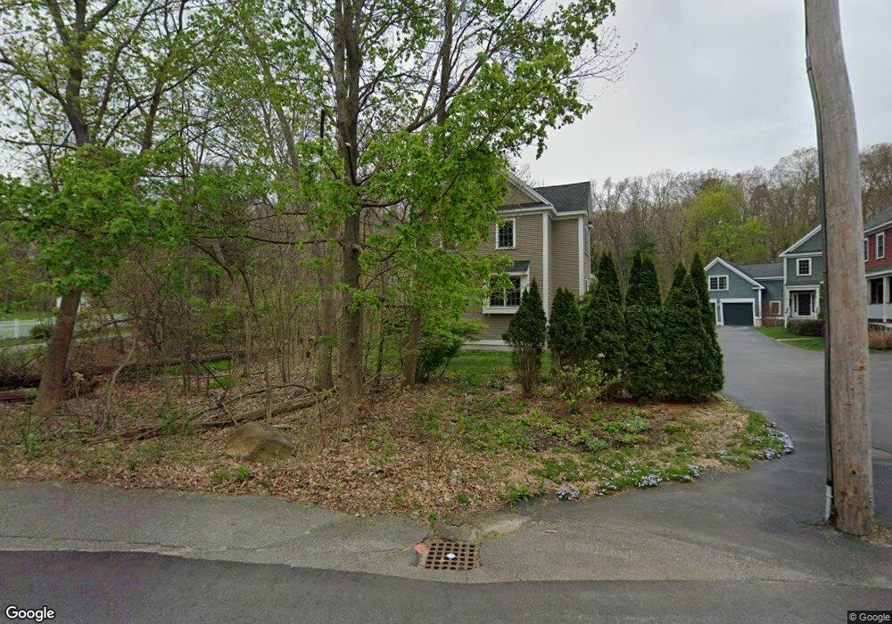
This home is located at 4 Haley Ln, Acton, MA 01720 and is currently estimated at $877,272, approximately $379 per square foot. 4 Haley Ln is a home located in Middlesex County with nearby schools including Acton-Boxborough Regional High School, Maynard Knowledge Beginnings, and The Imago School.
Ownership History
Date
Name
Owned For
Owner Type
Purchase Details
Closed on
Apr 4, 1996
Sold by
Lindenbaum Marc B
Bought by
Mcdermott Walter C and Mcdermott Pamela Dj
Current Estimated Value
Home Financials for this Owner
Home Financials are based on the most recent Mortgage that was taken out on this home.
Original Mortgage
$166,700
Interest Rate
7.31%
Mortgage Type
Purchase Money Mortgage
Purchase Details
Closed on
Sep 27, 1994
Sold by
Mckenna Mark A and Mckenna Mary E
Bought by
Lindenbaum Marc B
Create a Home Valuation Report for This Property
The Home Valuation Report is an in-depth analysis detailing your home's value as well as a comparison with similar homes in the area
Home Values in the Area
Average Home Value in this Area
Purchase History
| Date | Buyer | Sale Price | Title Company |
|---|---|---|---|
| Mcdermott Walter C | $175,500 | -- | |
| Lindenbaum Marc B | $123,000 | -- |
Source: Public Records
Mortgage History
| Date | Status | Borrower | Loan Amount |
|---|---|---|---|
| Open | Lindenbaum Marc B | $263,000 | |
| Closed | Lindenbaum Marc B | $73,000 | |
| Closed | Lindenbaum Marc B | $166,500 | |
| Closed | Lindenbaum Marc B | $166,700 |
Source: Public Records
Tax History Compared to Growth
Tax History
| Year | Tax Paid | Tax Assessment Tax Assessment Total Assessment is a certain percentage of the fair market value that is determined by local assessors to be the total taxable value of land and additions on the property. | Land | Improvement |
|---|---|---|---|---|
| 2025 | $12,411 | $723,700 | $272,900 | $450,800 |
| 2024 | $11,682 | $700,800 | $272,900 | $427,900 |
| 2023 | $11,871 | $676,000 | $248,100 | $427,900 |
| 2022 | $10,900 | $560,400 | $215,700 | $344,700 |
| 2021 | $10,528 | $520,400 | $199,600 | $320,800 |
| 2020 | $9,691 | $503,700 | $199,600 | $304,100 |
| 2019 | $9,278 | $479,000 | $199,600 | $279,400 |
| 2018 | $9,361 | $483,000 | $199,600 | $283,400 |
| 2017 | $9,206 | $483,000 | $199,600 | $283,400 |
| 2016 | $8,659 | $450,300 | $199,600 | $250,700 |
| 2015 | $8,578 | $450,300 | $199,600 | $250,700 |
| 2014 | $8,424 | $433,100 | $199,600 | $233,500 |
Source: Public Records
Map
Nearby Homes
- 70 River St
- 40 High St
- 128 Parker St Unit 3B
- 132 Parker St Unit G5
- 129 Main St Unit 129
- 131 Main St
- 7 Concetta Cir
- 3 Drummer Rd Unit B3
- 19 Railroad St Unit D2
- 19 Railroad St Unit C2
- 7 Kelley Rd
- 246 Main St Unit 2
- 2 Marble Farm Rd
- 71 Liberty St
- 7 King St
- 46 Taylor Rd
- 60 Lawsbrook Rd
- 12 Brown St
- 70 Powder Mill Rd
- 2 & 6 Powder Mill Rd