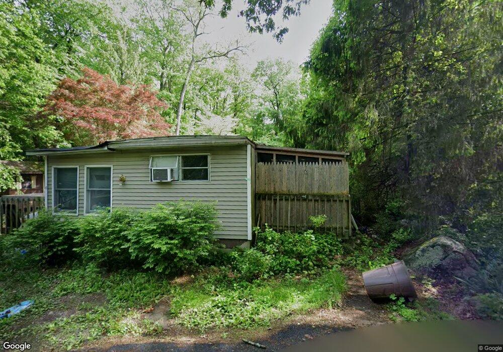
4 Hart Trail Byram Township, NJ 07821
Estimated Value: $160,000 - $302,000
--
Bed
--
Bath
884
Sq Ft
$257/Sq Ft
Est. Value
About This Home
This home is located at 4 Hart Trail, Byram Township, NJ 07821 and is currently estimated at $227,346, approximately $257 per square foot. 4 Hart Trail is a home located in Sussex County with nearby schools including Byram Lakes Elementary School, Byram Township Intermediate School, and Lenape Val Regional High School.
Ownership History
Date
Name
Owned For
Owner Type
Purchase Details
Closed on
May 18, 2006
Sold by
Sutton Sandra B
Bought by
Vetter Ronald and Fritzky Theresa
Current Estimated Value
Home Financials for this Owner
Home Financials are based on the most recent Mortgage that was taken out on this home.
Original Mortgage
$90,000
Interest Rate
6.2%
Mortgage Type
Purchase Money Mortgage
Purchase Details
Closed on
Apr 19, 2004
Sold by
Sutton Sandra B
Bought by
Sutton Sandra B
Create a Home Valuation Report for This Property
The Home Valuation Report is an in-depth analysis detailing your home's value as well as a comparison with similar homes in the area
Home Values in the Area
Average Home Value in this Area
Purchase History
| Date | Buyer | Sale Price | Title Company |
|---|---|---|---|
| Vetter Ronald | $90,000 | None Available | |
| Sutton Sandra B | -- | -- |
Source: Public Records
Mortgage History
| Date | Status | Borrower | Loan Amount |
|---|---|---|---|
| Closed | Vetter Ronald | $90,000 |
Source: Public Records
Tax History Compared to Growth
Tax History
| Year | Tax Paid | Tax Assessment Tax Assessment Total Assessment is a certain percentage of the fair market value that is determined by local assessors to be the total taxable value of land and additions on the property. | Land | Improvement |
|---|---|---|---|---|
| 2025 | $3,895 | $101,700 | $63,200 | $38,500 |
| 2024 | $3,826 | $101,700 | $63,200 | $38,500 |
| 2023 | $3,826 | $101,700 | $63,200 | $38,500 |
| 2022 | $3,722 | $101,700 | $63,200 | $38,500 |
| 2021 | $3,665 | $101,700 | $63,200 | $38,500 |
| 2020 | $3,635 | $101,700 | $63,200 | $38,500 |
| 2019 | $3,630 | $101,700 | $63,200 | $38,500 |
| 2018 | $3,605 | $101,700 | $63,200 | $38,500 |
| 2017 | $3,542 | $101,700 | $63,200 | $38,500 |
| 2016 | $3,483 | $101,700 | $63,200 | $38,500 |
| 2015 | $3,396 | $101,700 | $63,200 | $38,500 |
| 2014 | $3,377 | $101,700 | $63,200 | $38,500 |
Source: Public Records
Map
Nearby Homes
- 34 Allamuchy Trail
- 129 N Shore Rd
- 8 Hillcrest Trail
- 7 Lakeview Trail
- 19 Division Ln
- 2 Cabin Spring Trail
- 5 Harding Rd
- 24 S Shore Rd
- 0 Decker Pond Airport Rd Unit 3945534
- 75 Shore Rd
- 51 Scenic Dr
- 78 Hillside Terrace
- 3 Knute Dr
- 27 Mountainview Dr
- 1 Pine Park
- 18 Spruce Dr
- 27 Scenic Dr
- 111 Decker Pond Rd
- 6 Jans Way
- 8 Cub Lake Rd
- 31 Cranberry Ledge Rd
- 8 Hart Trail
- 5 Spring Trail
- 32 Cranberry Ledge Rd
- 37 Cranberry Ledge Rd
- 10 Hart Trail
- 3 Spruce Trail
- 44 Cranberry Ledge Rd
- 5 Spruce Trail
- 6 Partridge Trail
- 23 Cranberry Ledge Rd
- 50 Cranberry Ledge Rd
- 4 Spruce Trail
- 6 Oak Trail
- 8 Oak Trail
- 6 Coles Trail
- 57 Cranberry Ledge Rd
- 5 Oak Trail
- 59 Cranberry Ledge Rd
- 7 Oak Trail