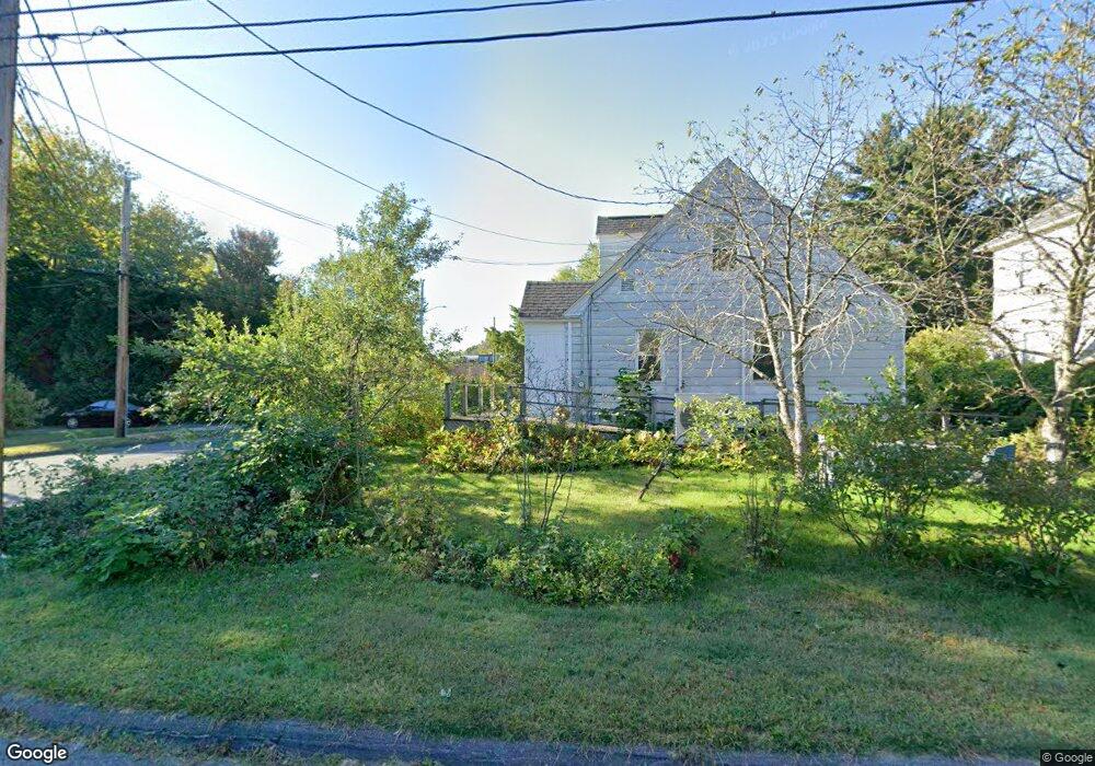
4 High St Florence, MA 01062
Florence NeighborhoodEstimated Value: $523,000 - $735,000
5
Beds
3
Baths
2,646
Sq Ft
$244/Sq Ft
Est. Value
About This Home
This home is located at 4 High St, Florence, MA 01062 and is currently estimated at $646,842, approximately $244 per square foot. 4 High St is a home located in Hampshire County with nearby schools including Northampton High School, The Montessori School of Northampton, and Lander Grinspoon Academy.
Ownership History
Date
Name
Owned For
Owner Type
Purchase Details
Closed on
Aug 29, 2014
Sold by
Thompson Jeanne L
Bought by
Tarantino Rosemary P
Current Estimated Value
Purchase Details
Closed on
Aug 30, 2006
Sold by
Makris Dimetra
Bought by
Thompson Jeanne L
Purchase Details
Closed on
Sep 29, 1995
Sold by
Spears Kristen H and Spears Williama G
Bought by
Makris Dimetra
Home Financials for this Owner
Home Financials are based on the most recent Mortgage that was taken out on this home.
Original Mortgage
$146,250
Interest Rate
7.89%
Mortgage Type
Purchase Money Mortgage
Purchase Details
Closed on
Feb 1, 1994
Sold by
Graves Irene Frost
Bought by
Spears William G and Spears Kristen H
Create a Home Valuation Report for This Property
The Home Valuation Report is an in-depth analysis detailing your home's value as well as a comparison with similar homes in the area
Home Values in the Area
Average Home Value in this Area
Purchase History
| Date | Buyer | Sale Price | Title Company |
|---|---|---|---|
| Tarantino Rosemary P | -- | -- | |
| Tarantino Rosemary P | -- | -- | |
| Thompson Jeanne L | $325,000 | -- | |
| Thompson Jeanne L | $325,000 | -- | |
| Makris Dimetra | $195,000 | -- | |
| Makris Dimetra | $195,000 | -- | |
| Spears William G | $165,000 | -- |
Source: Public Records
Mortgage History
| Date | Status | Borrower | Loan Amount |
|---|---|---|---|
| Previous Owner | Spears William G | $50,000 | |
| Previous Owner | Spears William G | $193,000 | |
| Previous Owner | Spears William G | $146,250 |
Source: Public Records
Tax History
| Year | Tax Paid | Tax Assessment Tax Assessment Total Assessment is a certain percentage of the fair market value that is determined by local assessors to be the total taxable value of land and additions on the property. | Land | Improvement |
|---|---|---|---|---|
| 2025 | $11,752 | $619,500 | $58,500 | $561,000 |
| 2024 | $10,840 | $598,900 | $58,500 | $540,400 |
| 2023 | $11,939 | $607,900 | $58,500 | $549,400 |
| 2022 | $8,876 | $456,600 | $58,500 | $398,100 |
| 2021 | $8,600 | $410,100 | $58,500 | $351,600 |
| 2019 | $5,609 | $283,300 | $58,500 | $224,800 |
| 2018 | $5,464 | $283,300 | $58,500 | $224,800 |
| 2017 | $5,434 | $283,300 | $58,500 | $224,800 |
| 2016 | $5,312 | $283,300 | $58,500 | $224,800 |
| 2015 | $5,075 | $282,100 | $57,300 | $224,800 |
| 2014 | $4,900 | $282,100 | $57,300 | $224,800 |
Source: Public Records
Map
Nearby Homes
- 575 Bridge Rd Unit 11-8
- 575 Bridge Rd Unit 8-5
- 575 Bridge Rd Unit 11-3
- 575 Bridge Rd Unit 12-7
- 575 Bridge Rd Unit 10-5
- 32 Stilson Ave
- 44 Sheffield Ln
- 60 Sheffield Ln
- 76 Maple St
- 14 Meadow St
- 86 N Maple St
- 67 Park St Unit A
- 33 Landy Ave
- 31 Lilly St
- 37 Landy Ave
- 41 Landy Ave
- 0 Terrace Ln
- 22 Lilly St
- 70 Hatfield St Unit 70B
- 492 Elm St
Your Personal Tour Guide
Ask me questions while you tour the home.