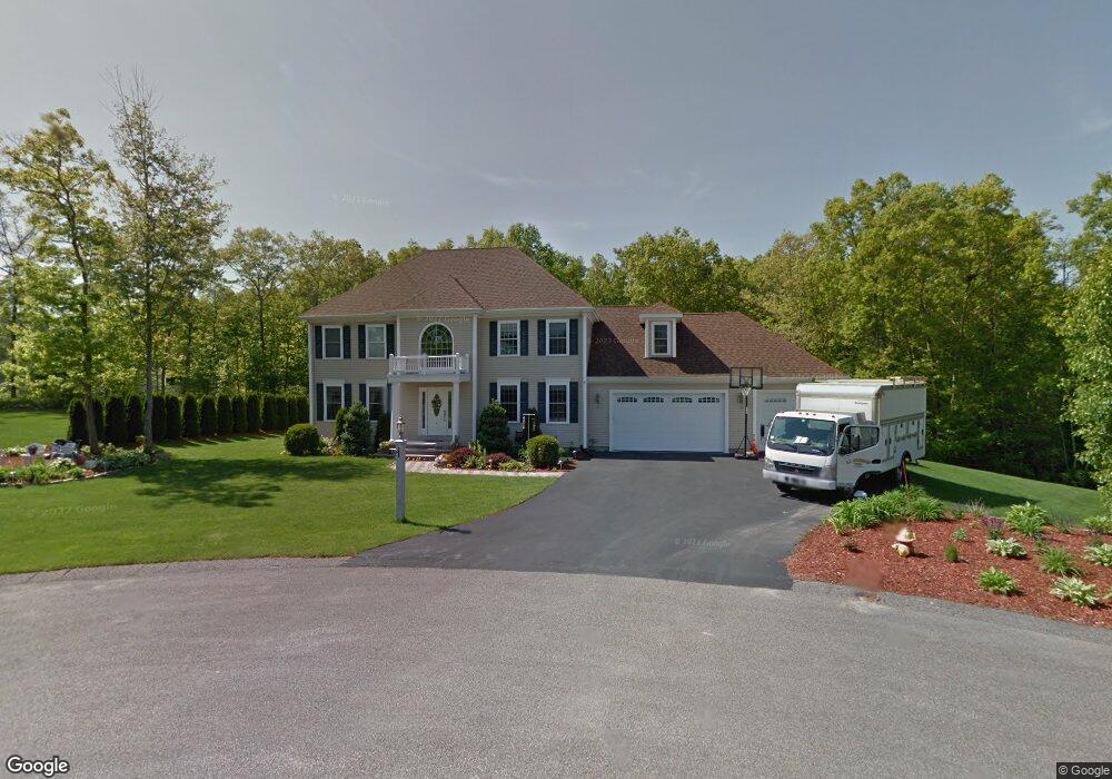
4 Hunters Path Whitman, MA 02382
Estimated Value: $625,000 - $865,000
4
Beds
4
Baths
3,236
Sq Ft
$234/Sq Ft
Est. Value
About This Home
This home is located at 4 Hunters Path, Whitman, MA 02382 and is currently estimated at $756,766, approximately $233 per square foot. 4 Hunters Path is a home located in Plymouth County with nearby schools including St Bridget School, Trinity Catholic Academy, and Cardinal Spellman High School.
Ownership History
Date
Name
Owned For
Owner Type
Purchase Details
Closed on
Jul 15, 2024
Sold by
Burke Francis M
Bought by
Burke Francis M and Burke Mary M
Current Estimated Value
Purchase Details
Closed on
Mar 13, 2006
Sold by
Absolute Builders Llc
Bought by
Burke Francis M
Create a Home Valuation Report for This Property
The Home Valuation Report is an in-depth analysis detailing your home's value as well as a comparison with similar homes in the area
Home Values in the Area
Average Home Value in this Area
Purchase History
| Date | Buyer | Sale Price | Title Company |
|---|---|---|---|
| Burke Francis M | -- | None Available | |
| Burke Francis M | -- | None Available | |
| Burke Francis M | $239,900 | -- | |
| Burke Francis M | $239,900 | -- |
Source: Public Records
Mortgage History
| Date | Status | Borrower | Loan Amount |
|---|---|---|---|
| Previous Owner | Burke Francis M | $200,000 |
Source: Public Records
Tax History
| Year | Tax Paid | Tax Assessment Tax Assessment Total Assessment is a certain percentage of the fair market value that is determined by local assessors to be the total taxable value of land and additions on the property. | Land | Improvement |
|---|---|---|---|---|
| 2025 | $9,902 | $754,700 | $255,500 | $499,200 |
| 2024 | $8,868 | $696,100 | $251,000 | $445,100 |
| 2023 | $8,660 | $638,200 | $218,400 | $419,800 |
| 2022 | $8,589 | $589,900 | $198,100 | $391,800 |
| 2021 | $8,367 | $539,800 | $180,100 | $359,700 |
| 2020 | $8,286 | $522,800 | $174,500 | $348,300 |
| 2019 | $7,953 | $517,100 | $174,500 | $342,600 |
| 2018 | $7,475 | $466,900 | $163,200 | $303,700 |
| 2017 | $7,042 | $467,000 | $163,200 | $303,800 |
| 2016 | $7,054 | $452,500 | $157,600 | $294,900 |
| 2015 | $7,064 | $452,500 | $157,600 | $294,900 |
Source: Public Records
Map
Nearby Homes
- 78 Linda St
- 360 High St
- 28 Linda St
- 14 Doris Dr
- 90 Loring Ave
- 151 Windsor Dr
- 854 Brockton Ave
- 300 High St
- 877 Brockton Ave Unit 877
- 603 Temple St
- 1190 Bedford St Unit G3
- 66 Belmont St
- 76 Short St
- 22 Eames Ave
- 99 Washington St
- 104 Crestfield Dr
- 1142 Washington St
- 48 Sullivan Terrace
- 11 Russell Rd
- 42 Rock St
- 2 Hunters Path
- lot 3 Hunters Path
- 6 Hunters Path
- 22 Fox Hill Rd
- 5 Hunters Path
- E2 Auburnville Way E2 Unit E2
- E3 Auburnville Way E3 Unit E3
- N2 Auburnville Way N2 Unit N2
- M 6 877 Auburnville Way M6
- E 3 Auburnville Way Unit E3
- M 3 Auburnville Way Unit M 3
- D3 Auburnville Way Unit D3
- K5 Auburnville Way Unit 5 K
- C 2 Auburnville Way Unit 2 C
- I 4 Auburnville Way Unit I 4
- I 5 Auburnville Way Unit I 4
- F6 Auburnville Way Unit F6
- LOT 1 Highland Ave
- LOT12B Butternut Ln
- LOT 9 Raynor Ave
Your Personal Tour Guide
Ask me questions while you tour the home.