4 Hutt Dr Newcastle, WY 82701
Estimated Value: $302,000 - $495,030
3
Beds
2
Baths
3,894
Sq Ft
$111/Sq Ft
Est. Value
About This Home
This home is located at 4 Hutt Dr, Newcastle, WY 82701 and is currently estimated at $433,758, approximately $111 per square foot. 4 Hutt Dr is a home located in Weston County with nearby schools including Newcastle Elementary School (3-5), Newcastle Elementary School (K-2), and Newcastle Middle School.
Ownership History
Date
Name
Owned For
Owner Type
Purchase Details
Closed on
Oct 24, 2020
Sold by
Hodge Michael
Bought by
Hodge Michael
Current Estimated Value
Home Financials for this Owner
Home Financials are based on the most recent Mortgage that was taken out on this home.
Original Mortgage
$339,087
Outstanding Balance
$301,050
Interest Rate
2.8%
Mortgage Type
VA
Estimated Equity
$132,708
Purchase Details
Closed on
Jan 30, 2020
Sold by
Hutt Elizabeth
Bought by
Hodge Michael
Home Financials for this Owner
Home Financials are based on the most recent Mortgage that was taken out on this home.
Original Mortgage
$337,590
Interest Rate
3.7%
Mortgage Type
VA
Purchase Details
Closed on
Apr 23, 2019
Sold by
Hutt Glen
Bought by
Hutt Elizabeth
Create a Home Valuation Report for This Property
The Home Valuation Report is an in-depth analysis detailing your home's value as well as a comparison with similar homes in the area
Home Values in the Area
Average Home Value in this Area
Purchase History
| Date | Buyer | Sale Price | Title Company |
|---|---|---|---|
| Hodge Michael | -- | None Available | |
| Hodge Michael | -- | None Available | |
| Hutt Elizabeth | -- | None Available |
Source: Public Records
Mortgage History
| Date | Status | Borrower | Loan Amount |
|---|---|---|---|
| Open | Hodge Michael | $339,087 | |
| Closed | Hodge Michael | $337,590 |
Source: Public Records
Tax History Compared to Growth
Tax History
| Year | Tax Paid | Tax Assessment Tax Assessment Total Assessment is a certain percentage of the fair market value that is determined by local assessors to be the total taxable value of land and additions on the property. | Land | Improvement |
|---|---|---|---|---|
| 2025 | $2,225 | $36,694 | $4,514 | $32,180 |
| 2024 | $3,127 | $46,134 | $6,019 | $40,115 |
| 2023 | $3,113 | $45,937 | $6,019 | $39,918 |
| 2022 | $2,633 | $39,317 | $6,019 | $33,298 |
| 2021 | $2,374 | $35,863 | $5,472 | $30,391 |
| 2020 | $2,358 | $35,526 | $5,472 | $30,054 |
| 2019 | $2,419 | $33,361 | $4,104 | $29,257 |
| 2018 | $2,356 | $32,495 | $4,104 | $28,391 |
| 2017 | $2,231 | $32,099 | $4,104 | $27,995 |
| 2014 | -- | $27,110 | $3,566 | $23,544 |
Source: Public Records
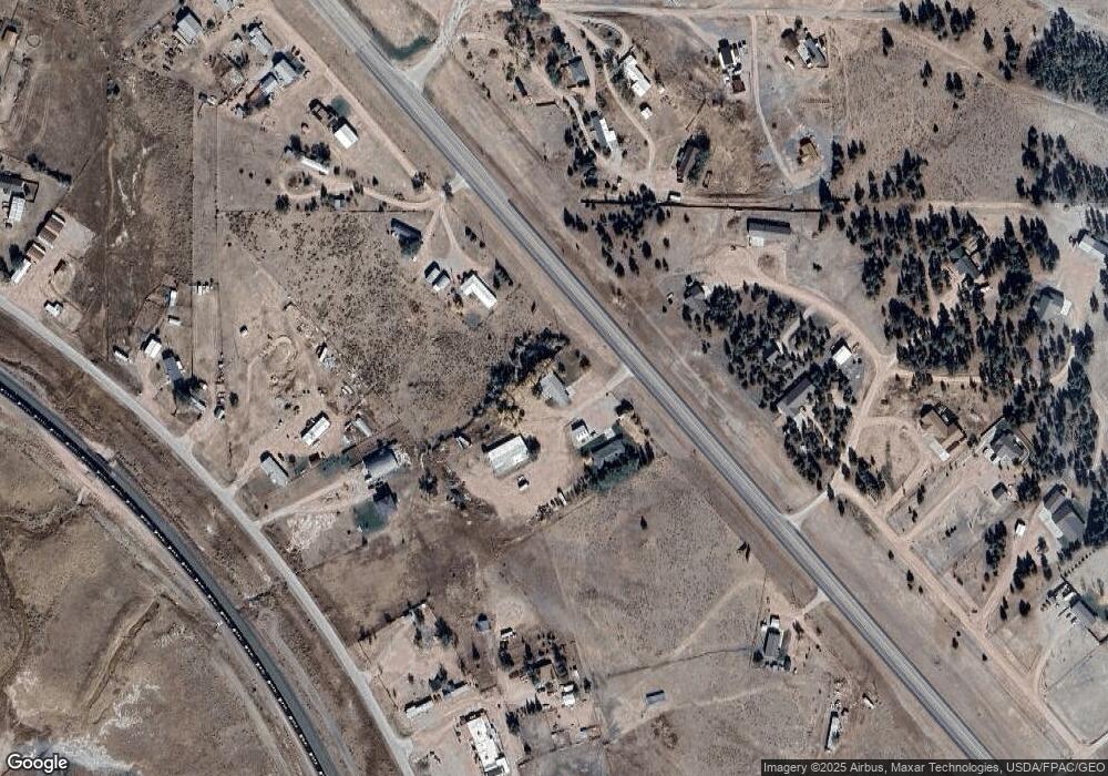
Map
Nearby Homes
- 5107 U S 16
- 31 Salt Creek Dr
- Tbd Salt Creek Dr
- LOT 6 Sage Rd
- LOT 5 Sage Rd
- 1645 S Summit Ave
- 4 Moore Ln
- 8 Moore Ln
- 406 York St
- Lot 3 Sunset Ridge Rd
- Lot 8 Sunset Ridge Rd
- Lot 7 Sunset Ridge Rd
- Lot 9 Sunset Ridge Rd
- Lot 4 Sunset Ridge Rd
- 135 E Wentworth St
- 414 Cascade Ave
- 236 E Warwick St
- 216 E Warwick St
- 17 S Sumner Ave
- 3 Hutt Dr
- 60 Old Highway 85
- 1 Skyview Cir
- 64 Old Highway 85
- 6 Turkey Trail
- 66 Old Highway 85
- 66 Old Highway 85
- 12 Turkey Trail
- 58 Old Highway 85
- 5097 Us Highway 16
- 5097 Us Highway 16
- 5 Bronco Ln
- 5116 Us Highway 16
- 54 Old Highway 85
- 5086 Us Highway 16
- 5101 Us Highway 16
- 68 Old Highway 85
- 5107 Us Highway 16
- 5 Countryside Way
- 8 Skyview Cir