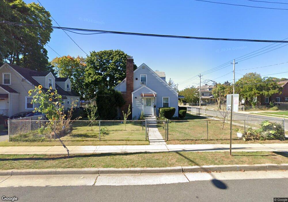
4 Ingraham St Hempstead, NY 11550
Estimated Value: $516,889 - $700,000
--
Bed
1
Bath
1,323
Sq Ft
$460/Sq Ft
Est. Value
About This Home
This home is located at 4 Ingraham St, Hempstead, NY 11550 and is currently estimated at $608,445, approximately $459 per square foot. 4 Ingraham St is a home located in Nassau County with nearby schools including Evergreen Charter School and Crescent School.
Ownership History
Date
Name
Owned For
Owner Type
Purchase Details
Closed on
May 14, 2018
Sold by
Ingraham Holding Inc
Bought by
Gooden Robet and Lindsay Francine
Current Estimated Value
Home Financials for this Owner
Home Financials are based on the most recent Mortgage that was taken out on this home.
Original Mortgage
$417,302
Outstanding Balance
$359,062
Interest Rate
4.37%
Mortgage Type
FHA
Estimated Equity
$249,383
Purchase Details
Closed on
Nov 29, 2017
Sold by
Adams Edward Dave
Bought by
Ingraham Holdings Corp
Purchase Details
Closed on
Aug 8, 2012
Sold by
Adams Edward Dave and Adams Mary
Bought by
Adams Edward Dave
Create a Home Valuation Report for This Property
The Home Valuation Report is an in-depth analysis detailing your home's value as well as a comparison with similar homes in the area
Home Values in the Area
Average Home Value in this Area
Purchase History
| Date | Buyer | Sale Price | Title Company |
|---|---|---|---|
| Gooden Robet | $425,000 | None Available | |
| Ingraham Holdings Corp | $14,500,000 | Old Republic Title | |
| Adams Edward Dave | -- | -- |
Source: Public Records
Mortgage History
| Date | Status | Borrower | Loan Amount |
|---|---|---|---|
| Open | Gooden Robet | $417,302 |
Source: Public Records
Tax History Compared to Growth
Tax History
| Year | Tax Paid | Tax Assessment Tax Assessment Total Assessment is a certain percentage of the fair market value that is determined by local assessors to be the total taxable value of land and additions on the property. | Land | Improvement |
|---|---|---|---|---|
| 2025 | $7,715 | $317 | $151 | $166 |
| 2024 | $846 | $325 | $155 | $170 |
| 2023 | $8,390 | $325 | $155 | $170 |
| 2022 | $8,390 | $325 | $155 | $170 |
| 2021 | $12,931 | $305 | $131 | $174 |
| 2020 | $10,113 | $624 | $430 | $194 |
| 2019 | $1,210 | $624 | $430 | $194 |
| 2018 | $8,908 | $624 | $0 | $0 |
| 2017 | $8,152 | $624 | $430 | $194 |
| 2016 | $9,244 | $624 | $430 | $194 |
| 2015 | $1,045 | $624 | $430 | $194 |
| 2014 | $1,045 | $624 | $430 | $194 |
| 2013 | $1,130 | $624 | $430 | $194 |
Source: Public Records
Map
Nearby Homes
- 16 Garfield Place
- 36 Monroe Place
- 89 Elizabeth Ave
- 70 Baldwin Rd
- 140 Baldwin Rd
- 101 Baldwin Rd
- 75 Baldwin Rd
- 81 Baldwin Rd
- 22 Hudson Place
- 49 Marvin Ave
- 23 Peters Ave
- 42 Peters Ave
- 15 Koeppel Place
- 120 Oak Ave
- 29 Sterling Place
- 10 Linden Ave
- 196 S Franklin St
- 33 Linden Ave
- 41 Eldridge Ave
- 142 S Franklin St
- 10 Ingraham St
- 0 E Graham Ave
- 20 Ingraham St
- 81 E Graham Ave
- 73 E Graham Ave
- 5 Ingraham St
- 89 E Graham Ave
- 22 Ingraham St
- 27 Garfield Place
- 38 Garfield Place
- 100 E Graham Ave
- 28 Jefferson Place
- 23 Garfield Place
- 28 Ingraham St
- 99 E Graham Ave
- 11 Oak Ave
- 30 Garfield Place
- 55 E Graham Ave
- 24 Jefferson Place
- 19 Garfield Place