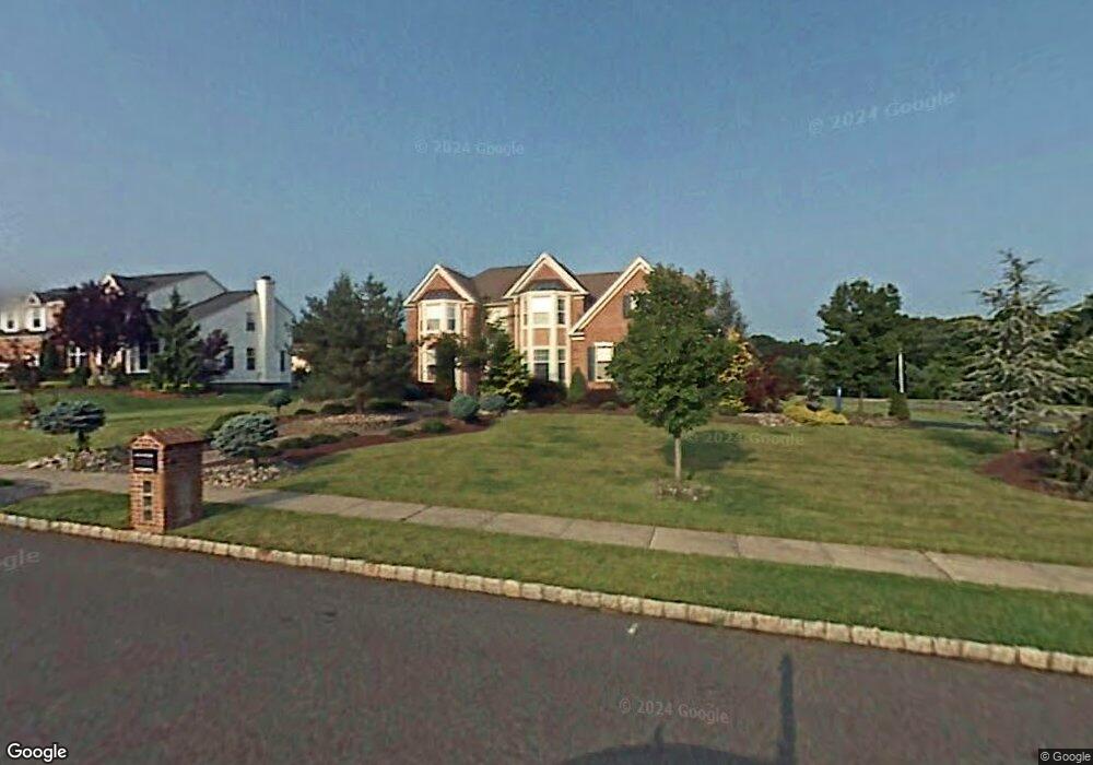
4 Iris Cir Manalapan, NJ 07726
Estimated Value: $1,038,000 - $1,167,000
4
Beds
2
Baths
3,191
Sq Ft
$351/Sq Ft
Est. Value
About This Home
This home is located at 4 Iris Cir, Manalapan, NJ 07726 and is currently estimated at $1,120,200, approximately $351 per square foot. 4 Iris Cir is a home located in Monmouth County with nearby schools including Lafayette Mills Elementary School, Pine Brook Elementary School, and Manalapan-Englishtown Middle School.
Ownership History
Date
Name
Owned For
Owner Type
Purchase Details
Closed on
Sep 26, 2018
Sold by
Pirrone Linda
Bought by
Dalia Mona
Current Estimated Value
Home Financials for this Owner
Home Financials are based on the most recent Mortgage that was taken out on this home.
Interest Rate
4.65%
Purchase Details
Closed on
Jun 18, 1997
Sold by
D R Horton Inc
Bought by
Pirrone Peter
Home Financials for this Owner
Home Financials are based on the most recent Mortgage that was taken out on this home.
Original Mortgage
$260,000
Interest Rate
7.86%
Create a Home Valuation Report for This Property
The Home Valuation Report is an in-depth analysis detailing your home's value as well as a comparison with similar homes in the area
Home Values in the Area
Average Home Value in this Area
Purchase History
| Date | Buyer | Sale Price | Title Company |
|---|---|---|---|
| Dalia Mona | -- | -- | |
| Pirrone Peter | $357,035 | -- |
Source: Public Records
Mortgage History
| Date | Status | Borrower | Loan Amount |
|---|---|---|---|
| Closed | Dalia Mona | -- | |
| Previous Owner | Pirrone Peter | $260,000 |
Source: Public Records
Tax History Compared to Growth
Tax History
| Year | Tax Paid | Tax Assessment Tax Assessment Total Assessment is a certain percentage of the fair market value that is determined by local assessors to be the total taxable value of land and additions on the property. | Land | Improvement |
|---|---|---|---|---|
| 2025 | $15,594 | $969,100 | $354,400 | $614,700 |
| 2024 | $15,181 | $923,800 | $354,400 | $569,400 |
| 2023 | $15,181 | $912,300 | $354,400 | $557,900 |
| 2022 | $14,052 | $774,600 | $243,400 | $531,200 |
| 2021 | $14,052 | $676,900 | $204,400 | $472,500 |
| 2020 | $13,841 | $674,200 | $204,400 | $469,800 |
| 2019 | $13,947 | $678,700 | $224,400 | $454,300 |
| 2018 | $13,593 | $657,600 | $224,400 | $433,200 |
| 2017 | $13,408 | $649,000 | $224,400 | $424,600 |
| 2016 | $13,447 | $658,500 | $199,400 | $459,100 |
| 2015 | $13,798 | $668,500 | $199,400 | $469,100 |
| 2014 | $13,653 | $644,000 | $190,800 | $453,200 |
Source: Public Records
Map
Nearby Homes
- 13 Greenfield Rd
- 41 Livingston Ln
- 4 Maxwell Ln
- 191 Us Highway 9 Unit 14
- 227 Paddington Ct Unit 7-7
- 25 Briar Hill Dr
- 39 Longstreet Rd
- 12 Locust Grove Ln
- 401 Hampton Ct
- 10 Locust Grove Ln
- 432 Hampton Ct Unit 12-8
- 8 Wayne Ct
- 1 Princeton Dr
- 3 Sugar Maple Ave
- 1 Briar Hill Dr
- 25 Highland Dr
- 8 Kensington Dr
- 4 Monterey Ln
- 46 S Foxcroft Dr
- 1 Wickatunk Rd