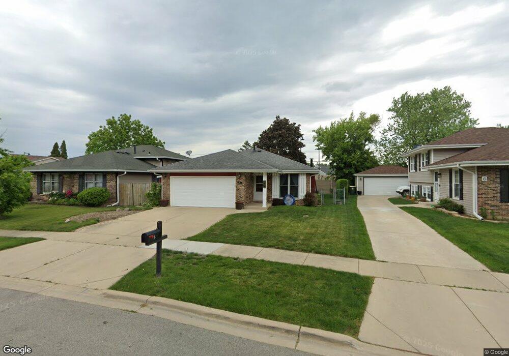
4 Lancaster Ct Streamwood, IL 60107
Estimated Value: $326,000 - $354,000
3
Beds
2
Baths
1,372
Sq Ft
$249/Sq Ft
Est. Value
About This Home
This home is located at 4 Lancaster Ct, Streamwood, IL 60107 and is currently estimated at $341,622, approximately $248 per square foot. 4 Lancaster Ct is a home located in Cook County with nearby schools including Heritage Elementary School, Tefft Middle School, and Streamwood High School.
Ownership History
Date
Name
Owned For
Owner Type
Purchase Details
Closed on
Nov 24, 1993
Sold by
Smith Brian W and Smith Susan
Bought by
Christiansen Brian V and Kleczkowski Carol A
Current Estimated Value
Home Financials for this Owner
Home Financials are based on the most recent Mortgage that was taken out on this home.
Original Mortgage
$44,500
Interest Rate
6.82%
Create a Home Valuation Report for This Property
The Home Valuation Report is an in-depth analysis detailing your home's value as well as a comparison with similar homes in the area
Home Values in the Area
Average Home Value in this Area
Purchase History
| Date | Buyer | Sale Price | Title Company |
|---|---|---|---|
| Christiansen Brian V | $83,000 | Intercounty Title |
Source: Public Records
Mortgage History
| Date | Status | Borrower | Loan Amount |
|---|---|---|---|
| Closed | Christiansen Brian V | $44,500 |
Source: Public Records
Tax History Compared to Growth
Tax History
| Year | Tax Paid | Tax Assessment Tax Assessment Total Assessment is a certain percentage of the fair market value that is determined by local assessors to be the total taxable value of land and additions on the property. | Land | Improvement |
|---|---|---|---|---|
| 2024 | $5,554 | $24,000 | $4,177 | $19,823 |
| 2023 | $5,352 | $24,000 | $4,177 | $19,823 |
| 2022 | $5,352 | $24,000 | $4,177 | $19,823 |
| 2021 | $4,413 | $18,066 | $3,202 | $14,864 |
| 2020 | $4,486 | $18,066 | $3,202 | $14,864 |
| 2019 | $4,442 | $20,074 | $3,202 | $16,872 |
| 2018 | $3,495 | $16,106 | $2,784 | $13,322 |
| 2017 | $3,484 | $16,106 | $2,784 | $13,322 |
| 2016 | $3,830 | $16,106 | $2,784 | $13,322 |
| 2015 | $4,136 | $16,157 | $2,506 | $13,651 |
| 2014 | $4,516 | $17,332 | $2,506 | $14,826 |
| 2013 | $4,341 | $17,332 | $2,506 | $14,826 |
Source: Public Records
Map
Nearby Homes
- 106 Brittany Dr Unit 17E1
- 69 Colonial Ct
- 8 Lasalle Ct
- 6 Wild Rose Ct
- 36 Evergreen Dr
- 9N Merry Oaks Rd
- 134 Virginia Ct
- 1108 Oak Ridge Dr
- 107 Janet Ave
- 3 Dorchester Ct
- 53 Samuel Dr Unit 163
- 55 Samuel Dr Unit 162
- 20 Coolidge Ct Unit B
- 6 Dartmouth Ct
- 2056 Essex Ct
- 121 E Briarwood Dr
- 1201 Oak Ridge Dr
- 2073 Essex Ct
- 113 Samuel Ct Unit 263
- 103 Locksley Dr
- 6 Lancaster Ct
- 8 Lancaster Ct
- 3 Lancaster Ct
- 10 Lancaster Ct
- 1025 Fulton Dr
- 1010 Fulton Dr
- 1008 Fulton Dr
- 241 Brittany Dr Unit 24B2
- 241 Brittany Dr Unit 24A2
- 241 Brittany Dr Unit A
- 241 Brittany Dr Unit B
- 241 Brittany Dr Unit 241
- 1020 Fulton Dr
- 1006 Fulton Dr
- 12 Lancaster Ct
- 239 Brittany Dr Unit 24D2
- 239 Brittany Dr Unit 236
- 7 Lancaster Ct
- 1027 Fulton Dr