4 Lattof Ln Rockport, MA 01966
Estimated Value: $877,000
3
Beds
4
Baths
2,496
Sq Ft
$351/Sq Ft
Est. Value
About This Home
This home is located at 4 Lattof Ln, Rockport, MA 01966 and is currently priced at $877,000, approximately $351 per square foot. 4 Lattof Ln is a home located in Essex County with nearby schools including Rockport Elementary School, Rockport Middle School, and Rockport High School.
Create a Home Valuation Report for This Property
The Home Valuation Report is an in-depth analysis detailing your home's value as well as a comparison with similar homes in the area
Home Values in the Area
Average Home Value in this Area
Tax History Compared to Growth
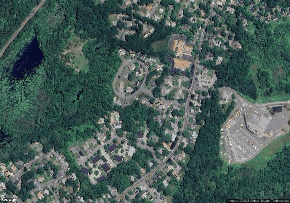
Map
Nearby Homes
- 135 A&B Main St
- 123 Main St Unit 2
- 36 Broadway Ave
- 36 Broadway Ave
- 5 Marshall Ln
- 4 Alpaca Ct
- 73-77 Main St
- 15 High St Unit D
- 63R Main St Unit 2
- 13 Pleasant St Unit 3
- 29 Summer St
- 6 Prospect St
- 2 Mount Pleasant St Unit 3
- 34 Mount Pleasant St
- 1 Doctors Run
- 57 Mt Pleasant St Unit 2B
- 12 Seagull St
- 4 Norwood Ave
- 5 Allen Ave
- 13 Rowe Point
- 13 Lattof Farm Cir
- 3 Joseph Way
- 12 Lattof Farm Cir
- 2 Lattof Ln
- 1 Lattof Ln
- 2 Lattof Farm Cir
- 5 Joseph Way
- 11 Lattof Farm Cir
- 10 Lattof Farm Cir
- 4 Lattof Farm Cir
- 8 Lattof Farm Cir
- 3 Sandy Bay Terrace
- 5 Sandy Bay Terrace
- 7 Sandy Bay Terrace
- 201 Main St
- 201 Main St Unit A
- 6 Lattof Farm Cir
- 1 Lattof Farm Cir
- 205 Main St
- 205 Main St