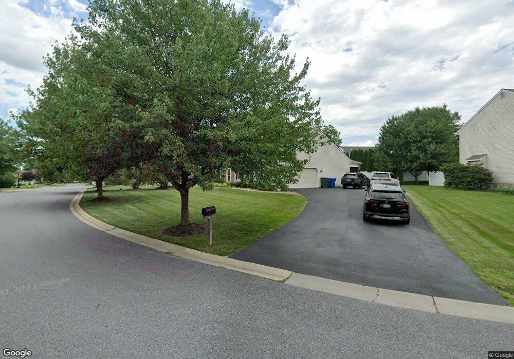
4 Lea Dr Chadds Ford, PA 19317
Estimated Value: $833,000 - $882,000
4
Beds
3
Baths
2,844
Sq Ft
$298/Sq Ft
Est. Value
About This Home
This home is located at 4 Lea Dr, Chadds Ford, PA 19317 and is currently estimated at $848,573, approximately $298 per square foot. 4 Lea Dr is a home located in Delaware County with nearby schools including Garnet Valley High School, The Pilot School, and St Cornelius School.
Ownership History
Date
Name
Owned For
Owner Type
Purchase Details
Closed on
Aug 22, 2000
Sold by
Fay Development Company Inc
Bought by
Geary Sean M and Geary Akemi
Current Estimated Value
Home Financials for this Owner
Home Financials are based on the most recent Mortgage that was taken out on this home.
Original Mortgage
$252,700
Outstanding Balance
$90,591
Interest Rate
8.06%
Mortgage Type
Purchase Money Mortgage
Estimated Equity
$757,982
Create a Home Valuation Report for This Property
The Home Valuation Report is an in-depth analysis detailing your home's value as well as a comparison with similar homes in the area
Home Values in the Area
Average Home Value in this Area
Purchase History
| Date | Buyer | Sale Price | Title Company |
|---|---|---|---|
| Geary Sean M | $272,900 | Commonwealth Land Title Ins |
Source: Public Records
Mortgage History
| Date | Status | Borrower | Loan Amount |
|---|---|---|---|
| Open | Geary Sean M | $252,700 |
Source: Public Records
Tax History Compared to Growth
Tax History
| Year | Tax Paid | Tax Assessment Tax Assessment Total Assessment is a certain percentage of the fair market value that is determined by local assessors to be the total taxable value of land and additions on the property. | Land | Improvement |
|---|---|---|---|---|
| 2025 | $11,386 | $500,100 | $152,260 | $347,840 |
| 2024 | $11,386 | $500,100 | $152,260 | $347,840 |
| 2023 | $11,102 | $500,100 | $152,260 | $347,840 |
| 2022 | $10,979 | $500,100 | $152,260 | $347,840 |
| 2021 | $18,462 | $500,100 | $152,260 | $347,840 |
| 2020 | $10,224 | $258,750 | $258,750 | $0 |
| 2019 | $10,073 | $258,750 | $258,750 | $0 |
| 2018 | $9,918 | $258,750 | $0 | $0 |
| 2017 | $9,716 | $258,750 | $0 | $0 |
| 2016 | $1,420 | $258,750 | $0 | $0 |
| 2015 | $1,420 | $258,750 | $0 | $0 |
| 2014 | $1,449 | $258,750 | $0 | $0 |
Source: Public Records
Map
Nearby Homes
- 3823 Rotherfield Ln
- 2803 Century Ln Unit 2803
- 98 Husbands Dr
- 30 Summit Ave
- 74 Farvel Rd
- 116 Landis Way N Unit 116
- 372 Cassell Ct
- 98 Brandywine St
- 86 Summit Ave
- 20 Winterset Rd
- 3003 Half Mile Post S
- 28 Winterset Rd
- 1063 Belmont Ln
- 34 Winterset Rd Unit 11
- 31 N Ellis Rd Unit A031
- 9 Molly Ln
- 15 Westbrite Ct
- 2603 Ebright Rd
- 2706 Ebright Rd
- 207 Beau Tree Dr
- 6 Lea Dr
- 2 Lea Dr
- 1 Concord Crossing
- 8 Lea Dr
- 1204 Concord Crossing
- 3 Concord Crossing
- 7 Lea Dr
- 1201 Concord Crossing
- 10 Lea Dr
- 9 Lea Dr
- 4 Concord Crossing
- 5 Concord Crossing
- 1202 Homestead Ln Unit 1202
- 104 Homestead Ln Unit 104
- 1203 Homestead Ln Unit 1203
- 102 Homestead Ln Unit 102
- 10 Concord Crossing Ln
- 103 Homestead Ln Unit 103
- 11 Lea Dr
- 101 Homestead Ln Unit 101