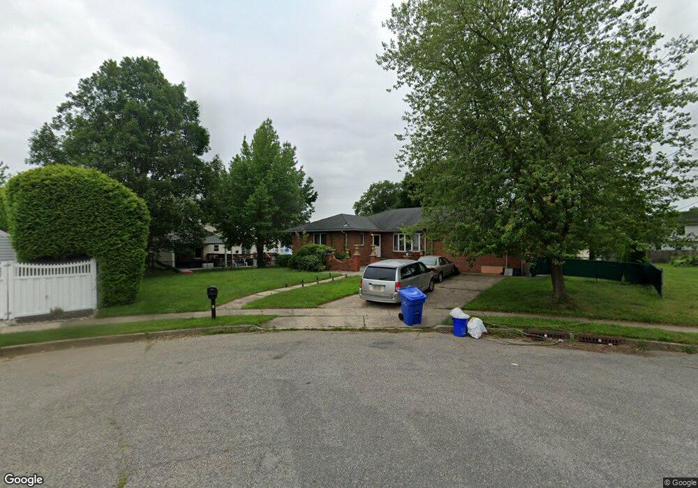
4 Lindstrom Ct Milltown, NJ 08850
Estimated Value: $638,000 - $727,000
3
Beds
3
Baths
2,160
Sq Ft
$323/Sq Ft
Est. Value
About This Home
This home is located at 4 Lindstrom Ct, Milltown, NJ 08850 and is currently estimated at $697,039, approximately $322 per square foot. 4 Lindstrom Ct is a home located in Middlesex County with nearby schools including Parkview School, Joyce Kilmer Elementary School, and Unitarian Montessori School.
Ownership History
Date
Name
Owned For
Owner Type
Purchase Details
Closed on
Mar 18, 2016
Sold by
Gallo Steve Ronald and Spak Pauline
Bought by
Wilberforce John A
Current Estimated Value
Home Financials for this Owner
Home Financials are based on the most recent Mortgage that was taken out on this home.
Original Mortgage
$333,485
Outstanding Balance
$263,013
Interest Rate
3.87%
Mortgage Type
FHA
Estimated Equity
$434,026
Purchase Details
Closed on
Aug 19, 1982
Bought by
Spak Joseph and Spak Pauline
Create a Home Valuation Report for This Property
The Home Valuation Report is an in-depth analysis detailing your home's value as well as a comparison with similar homes in the area
Home Values in the Area
Average Home Value in this Area
Purchase History
| Date | Buyer | Sale Price | Title Company |
|---|---|---|---|
| Wilberforce John A | $345,000 | Chicago Title Ins Co | |
| Spak Joseph | $30,000 | -- |
Source: Public Records
Mortgage History
| Date | Status | Borrower | Loan Amount |
|---|---|---|---|
| Open | Wilberforce John A | $333,485 |
Source: Public Records
Tax History
| Year | Tax Paid | Tax Assessment Tax Assessment Total Assessment is a certain percentage of the fair market value that is determined by local assessors to be the total taxable value of land and additions on the property. | Land | Improvement |
|---|---|---|---|---|
| 2025 | $12,198 | $180,600 | $85,000 | $95,600 |
| 2024 | $11,976 | $180,600 | $85,000 | $95,600 |
Source: Public Records
Map
Nearby Homes
- 61 Ochs Ave
- 3 Clayton Ct
- 845 Hoover Dr
- 18 Scott Ave
- 34 Vanderbilt Ave
- 14 South St
- 1040 Hillside Dr
- 1035 Hillside Dr
- 58 Harrison Ave
- 246 Highland Dr
- 1088 S Boyd Pkwy
- 93 1st St
- 1290 Barkley Place N
- 386 Franklin Rd
- 6 Nicholas Ct
- 21 Garden Terrace
- 296 Riva Ave
- 361 S Main St
- 226 Washington Ave
- 163 Dutch Rd
Your Personal Tour Guide
Ask me questions while you tour the home.