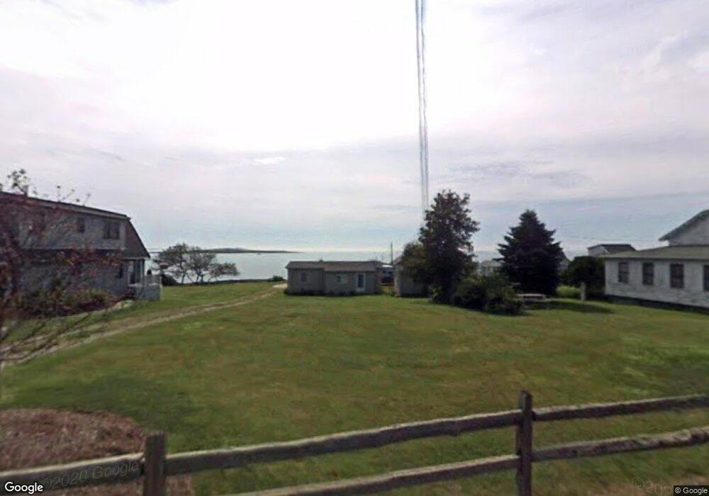
4 Linnel Dr Bailey Island, ME 04003
Harpswell NeighborhoodEstimated Value: $830,623 - $930,000
2
Beds
1
Bath
937
Sq Ft
$942/Sq Ft
Est. Value
About This Home
This home is located at 4 Linnel Dr, Bailey Island, ME 04003 and is currently estimated at $882,406, approximately $941 per square foot. 4 Linnel Dr is a home with nearby schools including Mt Ararat High School.
Ownership History
Date
Name
Owned For
Owner Type
Purchase Details
Closed on
Aug 22, 2025
Sold by
Maffei Adam D
Bought by
Ghalib Kareem
Current Estimated Value
Home Financials for this Owner
Home Financials are based on the most recent Mortgage that was taken out on this home.
Original Mortgage
$632,073
Outstanding Balance
$630,422
Interest Rate
6.72%
Mortgage Type
New Conventional
Estimated Equity
$251,984
Create a Home Valuation Report for This Property
The Home Valuation Report is an in-depth analysis detailing your home's value as well as a comparison with similar homes in the area
Home Values in the Area
Average Home Value in this Area
Purchase History
| Date | Buyer | Sale Price | Title Company |
|---|---|---|---|
| Ghalib Kareem | $842,765 | -- | |
| Ghalib Kareem | $842,765 | -- |
Source: Public Records
Mortgage History
| Date | Status | Borrower | Loan Amount |
|---|---|---|---|
| Open | Ghalib Kareem | $632,073 | |
| Closed | Ghalib Kareem | $632,073 |
Source: Public Records
Tax History Compared to Growth
Tax History
| Year | Tax Paid | Tax Assessment Tax Assessment Total Assessment is a certain percentage of the fair market value that is determined by local assessors to be the total taxable value of land and additions on the property. | Land | Improvement |
|---|---|---|---|---|
| 2024 | $2,120 | $333,400 | $259,700 | $73,700 |
| 2023 | $2,034 | $333,400 | $259,700 | $73,700 |
| 2022 | $1,967 | $333,400 | $259,700 | $73,700 |
| 2021 | $1,996 | $295,300 | $221,700 | $73,600 |
| 2020 | $1,990 | $295,300 | $221,700 | $73,600 |
| 2019 | $1,979 | $295,300 | $221,700 | $73,600 |
| 2018 | $1,914 | $295,300 | $221,700 | $73,600 |
| 2017 | $1,908 | $295,300 | $221,700 | $73,600 |
| 2016 | $1,890 | $295,300 | $221,700 | $73,600 |
| 2015 | $1,843 | $295,300 | $221,700 | $73,600 |
| 2013 | $1,707 | $295,300 | $221,700 | $73,600 |
Source: Public Records
Map
Nearby Homes
- 10 Irene Ave
- 87 Lowells Cove Rd
- 1450 Harpswell Neck Rd
- 1 Mallard Pond Rd
- 0 Bayview Rd Unit 2 1632776
- Lot 2A Allen Point Rd
- Lot 2B Allen Point Rd
- 21 Spring Hill Rd
- lot C Long Point Rd
- 205 W Cundys Point
- 30 Driftwood Tide Ln
- 471 South Rd Unit A
- 471 South Rd Unit B
- 58 Kopaddy Trail
- 83 Central Ave
- 58 Maquoit Dr
- 65 Shell Rd
- 46 Blackstone Club Rd
- Map 80 Lot 18-0 White Island
- 275 Littlejohn Rd