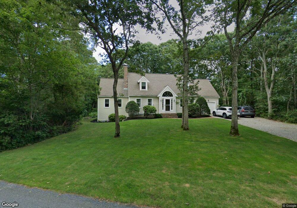
4 Little Acorn Ln Forestdale, MA 02644
Forestdale NeighborhoodEstimated Value: $760,000 - $883,000
3
Beds
3
Baths
2,029
Sq Ft
$399/Sq Ft
Est. Value
About This Home
This home is located at 4 Little Acorn Ln, Forestdale, MA 02644 and is currently estimated at $808,706, approximately $398 per square foot. 4 Little Acorn Ln is a home located in Barnstable County with nearby schools including Sandwich Middle High School and Montessori School of Sandwich.
Ownership History
Date
Name
Owned For
Owner Type
Purchase Details
Closed on
Sep 9, 2024
Sold by
Planert Thomas F and Planert Jean L
Bought by
Planert Jean B and Planert Thomas F
Current Estimated Value
Purchase Details
Closed on
Jul 18, 1988
Sold by
Unis Walter M
Bought by
Planert Thomas F
Home Financials for this Owner
Home Financials are based on the most recent Mortgage that was taken out on this home.
Original Mortgage
$168,000
Interest Rate
10.57%
Mortgage Type
Purchase Money Mortgage
Create a Home Valuation Report for This Property
The Home Valuation Report is an in-depth analysis detailing your home's value as well as a comparison with similar homes in the area
Home Values in the Area
Average Home Value in this Area
Purchase History
| Date | Buyer | Sale Price | Title Company |
|---|---|---|---|
| Planert Jean B | -- | None Available | |
| Planert Jean B | -- | None Available | |
| Planert Thomas F | $212,900 | -- |
Source: Public Records
Mortgage History
| Date | Status | Borrower | Loan Amount |
|---|---|---|---|
| Previous Owner | Planert Thomas F | $168,000 |
Source: Public Records
Tax History Compared to Growth
Tax History
| Year | Tax Paid | Tax Assessment Tax Assessment Total Assessment is a certain percentage of the fair market value that is determined by local assessors to be the total taxable value of land and additions on the property. | Land | Improvement |
|---|---|---|---|---|
| 2025 | $7,337 | $694,100 | $169,100 | $525,000 |
| 2024 | $7,061 | $653,800 | $151,000 | $502,800 |
| 2023 | $6,774 | $589,000 | $142,100 | $446,900 |
| 2022 | $6,413 | $487,300 | $126,900 | $360,400 |
| 2021 | $6,034 | $438,200 | $122,000 | $316,200 |
| 2020 | $6,092 | $425,700 | $121,800 | $303,900 |
| 2019 | $5,739 | $400,800 | $119,600 | $281,200 |
| 2018 | $5,620 | $393,300 | $128,300 | $265,000 |
| 2017 | $5,503 | $368,600 | $124,200 | $244,400 |
| 2016 | $5,270 | $364,200 | $123,000 | $241,200 |
| 2015 | $5,148 | $347,400 | $110,700 | $236,700 |
Source: Public Records
Map
Nearby Homes
- 99 Route 130
- 27 Dogwood Dr
- 4 Faith Ln
- 39 Massachusetts 130
- 21 Green Acres Ln
- 86 Greenville Dr
- 8 Peters Pond Dr
- 38 Pierre Vernier Dr
- 9 Bramble Bush Dr
- 27 Craft Rd
- 6 Woodvue Cir
- 18 Katian Way
- 19 Shagbark Rd
- 44 Greenville Dr
- 15 Gunters Ln
- 37 Pickerel Way
- 185 Cotuit Rd Unit BE4
- 185 Cotuit Rd Unit MA 5
- 185 Cotuit Rd Unit JP1
- 23 Grandwood Dr
- 3 Little Acorn Ln
- 6 Little Acorn Ln
- 5 Little Acorn Ln
- 22 Grandwood Dr
- 25 Grandwood Dr
- 24 Grandwood Dr
- 7 Little Acorn Ln
- 17 Grandwood Dr
- 20 Grandwood Dr
- 26 Grandwood Dr
- 19 Grandwood Dr
- 27 Grandwood Dr
- 9 Little Acorn Ln
- 28 Grandwood Dr
- 28 Grandwood Dr Unit E
- 15 Grandwood Dr
- 5 Lichen Ln
- 3 Lichen Ln