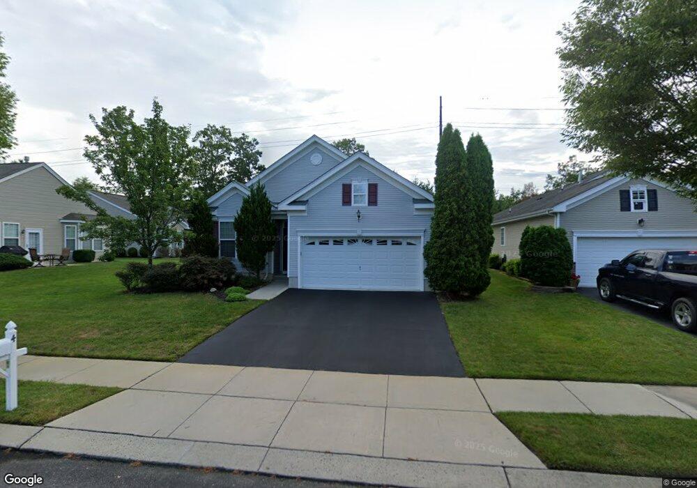
4 Lostock Ct Galloway, NJ 08205
Estimated Value: $413,188 - $512,000
Studio
--
Bath
2,056
Sq Ft
$229/Sq Ft
Est. Value
About This Home
This home is located at 4 Lostock Ct, Galloway, NJ 08205 and is currently estimated at $470,297, approximately $228 per square foot. 4 Lostock Ct is a home located in Atlantic County with nearby schools including Absegami High School, Cedar Creek High School, and Oakcrest High School.
Ownership History
Date
Name
Owned For
Owner Type
Purchase Details
Closed on
Nov 26, 2013
Sold by
Lisa Angela and Pierro Angela
Bought by
Tagliareni Salvatore P and Tagliareni Jeannette M
Current Estimated Value
Create a Home Valuation Report for This Property
The Home Valuation Report is an in-depth analysis detailing your home's value as well as a comparison with similar homes in the area
Home Values in the Area
Average Home Value in this Area
Purchase History
| Date | Buyer | Sale Price | Title Company |
|---|---|---|---|
| Tagliareni Salvatore P | $250,000 | The Title Co Of Jersey |
Source: Public Records
Tax History
| Year | Tax Paid | Tax Assessment Tax Assessment Total Assessment is a certain percentage of the fair market value that is determined by local assessors to be the total taxable value of land and additions on the property. | Land | Improvement |
|---|---|---|---|---|
| 2025 | $7,974 | $238,900 | $58,900 | $180,000 |
| 2024 | $7,974 | $238,900 | $58,900 | $180,000 |
Source: Public Records
Map
Nearby Homes
- 8 Highbury Ct
- 213 Limerick St
- 181 Everton Place
- 9 Wicklow Terrace
- 16 Holly Creek Rd
- 19 Mohave Dr Unit 19
- 181 Rumson Dr Unit 1084
- 11 Mohave Dr Unit 11
- 42 Mohave Dr Unit 1222
- 130 Iroquois Dr Unit E1
- 32 Iroquois Dr
- 26 Iroquois Dr Unit 20
- 49 Iroquois Dr Unit 49
- 39 Apache Ct Unit F3
- 36 Apache Ct Unit B3
- 69 Iroquois Dr Unit 15
- 106 E Moss Mill T-88 Rd
- 106 E Moss Mill T34 Rd
- 27 Apache Ct Unit H3
- 23 Apache Ct
Your Personal Tour Guide
Ask me questions while you tour the home.