4 Magnolia Cir Norfolk, MA 02056
Estimated Value: $917,414 - $1,097,000
4
Beds
3
Baths
2,859
Sq Ft
$354/Sq Ft
Est. Value
About This Home
This home is located at 4 Magnolia Cir, Norfolk, MA 02056 and is currently estimated at $1,012,354, approximately $354 per square foot. 4 Magnolia Cir is a home located in Norfolk County with nearby schools including H. Olive Day School, Freeman-Kennedy School, and Woodside Montessori Academy.
Ownership History
Date
Name
Owned For
Owner Type
Purchase Details
Closed on
Feb 8, 2024
Sold by
Eldracher Kevin F and Eldracher Susan
Bought by
Eldracher
Current Estimated Value
Purchase Details
Closed on
Oct 30, 1997
Sold by
Wildeman Robert J and Wildeman Jami J
Bought by
Eldracher Kevin F and Eldracher Susan
Purchase Details
Closed on
Mar 30, 1994
Sold by
Kings Grant Inc
Bought by
Wildeman Robert J and Wildeman Janet J
Create a Home Valuation Report for This Property
The Home Valuation Report is an in-depth analysis detailing your home's value as well as a comparison with similar homes in the area
Home Values in the Area
Average Home Value in this Area
Purchase History
| Date | Buyer | Sale Price | Title Company |
|---|---|---|---|
| Eldracher | -- | None Available | |
| Eldracher Kevin F | $293,000 | -- | |
| Eldracher Kevin F | $293,000 | -- | |
| Wildeman Robert J | $246,416 | -- | |
| Wildeman Robert J | $246,416 | -- |
Source: Public Records
Mortgage History
| Date | Status | Borrower | Loan Amount |
|---|---|---|---|
| Previous Owner | Wildeman Robert J | $40,000 | |
| Previous Owner | Wildeman Robert J | $233,000 |
Source: Public Records
Tax History Compared to Growth
Tax History
| Year | Tax Paid | Tax Assessment Tax Assessment Total Assessment is a certain percentage of the fair market value that is determined by local assessors to be the total taxable value of land and additions on the property. | Land | Improvement |
|---|---|---|---|---|
| 2025 | $12,199 | $763,900 | $232,500 | $531,400 |
| 2024 | $11,880 | $763,000 | $244,100 | $518,900 |
| 2023 | $11,389 | $694,000 | $244,100 | $449,900 |
| 2022 | $10,616 | $583,300 | $228,700 | $354,600 |
| 2021 | $10,258 | $570,200 | $222,100 | $348,100 |
| 2020 | $10,185 | $546,400 | $202,300 | $344,100 |
| 2019 | $9,805 | $536,100 | $202,300 | $333,800 |
| 2018 | $9,405 | $505,100 | $202,300 | $302,800 |
| 2017 | $9,272 | $508,900 | $202,300 | $306,600 |
| 2016 | $9,244 | $511,300 | $210,000 | $301,300 |
| 2015 | $9,317 | $527,600 | $222,700 | $304,900 |
| 2014 | $9,133 | $524,000 | $222,700 | $301,300 |
Source: Public Records
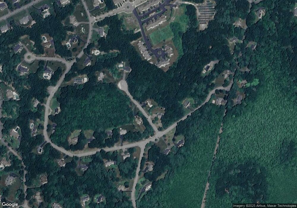
Map
Nearby Homes
- 7 Keeney Pond Rd
- 6 Trailside Way
- 16 Keeney Pond Rd
- 18 Keeney Pond Rd
- 118 Main St
- 10 Medway St
- 8 Boyde's Crossing
- 8 Boyde's Crossing Unit 4
- 7 Malcolm St
- 3 Pheasanthill Rd
- 25 Boydes Crossing Unit 18
- 26 Ridge Rd
- 23 Fredrickson Rd
- 11 Quail Run Rd
- 38 Robin Rd
- 292 Main St
- 2 Diamond St
- 14 Robin Rd
- 3 Lake St
- 0 Toils End Rd