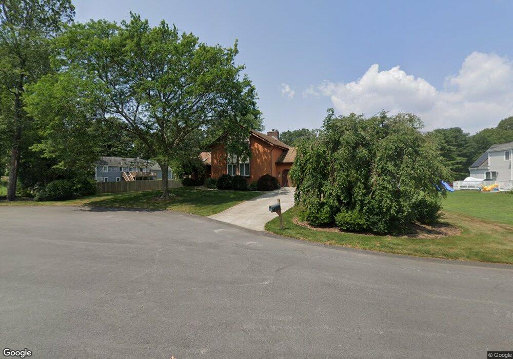
4 Massasoit Dr Seekonk, MA 02771
Estimated Value: $739,626 - $842,000
4
Beds
3
Baths
2,463
Sq Ft
$322/Sq Ft
Est. Value
About This Home
This home is located at 4 Massasoit Dr, Seekonk, MA 02771 and is currently estimated at $793,407, approximately $322 per square foot. 4 Massasoit Dr is a home located in Bristol County with nearby schools including Seekonk High School, Ocean State Montessori School, and St Mary Academy-Bay View.
Ownership History
Date
Name
Owned For
Owner Type
Purchase Details
Closed on
Aug 6, 1998
Sold by
Rose Melinda and Rose Dennis J
Bought by
Mulligan Robert E and Mulligan Cheryl A
Current Estimated Value
Home Financials for this Owner
Home Financials are based on the most recent Mortgage that was taken out on this home.
Original Mortgage
$200,000
Interest Rate
6.92%
Mortgage Type
Purchase Money Mortgage
Create a Home Valuation Report for This Property
The Home Valuation Report is an in-depth analysis detailing your home's value as well as a comparison with similar homes in the area
Home Values in the Area
Average Home Value in this Area
Purchase History
| Date | Buyer | Sale Price | Title Company |
|---|---|---|---|
| Mulligan Robert E | $255,000 | -- |
Source: Public Records
Mortgage History
| Date | Status | Borrower | Loan Amount |
|---|---|---|---|
| Closed | Mulligan Robert E | $300,000 | |
| Closed | Mulligan Robert E | $217,000 | |
| Closed | Mulligan Robert E | $200,000 |
Source: Public Records
Tax History
| Year | Tax Paid | Tax Assessment Tax Assessment Total Assessment is a certain percentage of the fair market value that is determined by local assessors to be the total taxable value of land and additions on the property. | Land | Improvement |
|---|---|---|---|---|
| 2025 | $8,802 | $712,700 | $167,100 | $545,600 |
| 2024 | $8,389 | $679,300 | $167,100 | $512,200 |
| 2023 | $8,165 | $622,800 | $150,100 | $472,700 |
| 2022 | $7,377 | $553,000 | $150,100 | $402,900 |
| 2021 | $7,108 | $523,800 | $128,300 | $395,500 |
| 2020 | $6,473 | $491,500 | $128,400 | $363,100 |
| 2019 | $6,245 | $478,200 | $128,400 | $349,800 |
| 2018 | $6,149 | $460,600 | $128,400 | $332,200 |
| 2017 | $6,085 | $452,100 | $129,800 | $322,300 |
| 2016 | $5,965 | $444,800 | $129,800 | $315,000 |
| 2015 | $5,553 | $419,700 | $117,900 | $301,800 |
Source: Public Records
Map
Nearby Homes
- 57 Mohawk Dr
- 454 Fall River Ave
- 11 Hawthorne Dr
- 30 Fuller St
- 0 N Wheaton Ave
- 296 Fall River Ave
- 0 Milton St Unit 72633661
- 106 Wannamoisett Rd
- 7 Jill Ct
- 2 Leigh Ln
- 26 Callender Ave
- 151 Dover Ave
- 29 Ide Ave
- 53 Wampanoag Trail
- 0 Wheaton Ave
- 158 S Rose St
- 65 Estrell Dr
- 44 Charles St
- 191 S Spruce St
- 58 Swan St
- 117 Donald Lewis Dr
- 105 Donald Lewis Dr
- 61 Donald Lewis Dr
- 51 Donald Lewis Dr
- 71 Donald Lewis Dr
- 19 Massasoit Dr
- 5 Massasoit Dr
- 41 Donald Lewis Dr
- 124 Donald Lewis Dr
- 31 Massasoit Dr
- 100 Donald Lewis Dr
- 112 Donald Lewis Dr
- 60 Donald Lewis Dr
- 70 Donald Lewis Dr
- 50 Donald Lewis Dr
- 31 Donald Lewis Dr
- 60 Massasoit Dr
- 45 Massasoit Dr
- 40 Donald Lewis Dr
- 21 Donald Lewis Dr
Your Personal Tour Guide
Ask me questions while you tour the home.