4 Mayberry Rd Windham, ME 04062
Estimated Value: $460,584 - $521,000
2
Beds
2
Baths
1,500
Sq Ft
$324/Sq Ft
Est. Value
About This Home
This home is located at 4 Mayberry Rd, Windham, ME 04062 and is currently estimated at $485,646, approximately $323 per square foot. 4 Mayberry Rd is a home located in Cumberland County with nearby schools including Windham Primary School, Manchester School, and Windham Middle School.
Ownership History
Date
Name
Owned For
Owner Type
Purchase Details
Closed on
Sep 21, 2020
Sold by
Brewer Richard A
Bought by
Wright Matthew C
Current Estimated Value
Home Financials for this Owner
Home Financials are based on the most recent Mortgage that was taken out on this home.
Original Mortgage
$161,250
Outstanding Balance
$141,512
Interest Rate
2.8%
Mortgage Type
New Conventional
Estimated Equity
$344,134
Purchase Details
Closed on
Apr 27, 2012
Sold by
Brewer Richard A
Bought by
Brewer Richard A and Brewer Kanyakorn V
Create a Home Valuation Report for This Property
The Home Valuation Report is an in-depth analysis detailing your home's value as well as a comparison with similar homes in the area
Home Values in the Area
Average Home Value in this Area
Purchase History
| Date | Buyer | Sale Price | Title Company |
|---|---|---|---|
| Wright Matthew C | -- | None Available | |
| Brewer Richard A | -- | -- |
Source: Public Records
Mortgage History
| Date | Status | Borrower | Loan Amount |
|---|---|---|---|
| Open | Wright Matthew C | $161,250 |
Source: Public Records
Tax History
| Year | Tax Paid | Tax Assessment Tax Assessment Total Assessment is a certain percentage of the fair market value that is determined by local assessors to be the total taxable value of land and additions on the property. | Land | Improvement |
|---|---|---|---|---|
| 2025 | $5,084 | $421,600 | $133,900 | $287,700 |
| 2024 | $4,836 | $421,600 | $133,900 | $287,700 |
| 2023 | $4,470 | $399,100 | $124,900 | $274,200 |
| 2022 | $3,981 | $342,900 | $98,700 | $244,200 |
| 2021 | $3,480 | $276,200 | $86,000 | $190,200 |
| 2020 | $3,699 | $246,600 | $75,300 | $171,300 |
| 2019 | $3,610 | $246,600 | $75,300 | $171,300 |
| 2018 | $3,352 | $220,800 | $67,600 | $153,200 |
| 2017 | $3,235 | $196,900 | $61,000 | $135,900 |
| 2016 | $3,091 | $196,900 | $61,000 | $135,900 |
| 2015 | $2,983 | $196,900 | $61,000 | $135,900 |
| 2014 | $2,889 | $196,900 | $61,000 | $135,900 |
| 2013 | -- | $196,900 | $61,000 | $135,900 |
Source: Public Records
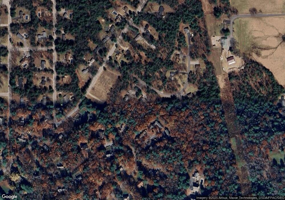
Map
Nearby Homes
- 11 Unity Ln Unit 11
- 389 Gray Rd
- 21 Cook Rd
- 18 Cook Rd
- 336 Pope Rd Unit 3
- 594 River Rd
- 8 Beaulieu Dr
- 32 Middle Jam Rd
- 215 N Gorham Rd
- 324 Roosevelt Trail
- 404 Pope Rd
- 10 Deerfield Cir
- 236 Main St
- 5 Cardinal Ln
- 117 N Gorham Rd
- 7 Magnolia Ln Unit 2
- 21 Cliff Dr
- 21 Shyannes Way
- 20 Revolution Dr
- 12 Dolley Farm Rd Unit 6
- 5 Mayberry Rd
- 10 Azalea Ln
- 8 Azalea Ln
- 12 Azalea Ln
- 12 Azalea Ln Unit 12
- 12 Azalea Ln Unit 6
- 40 Evergreen Ln
- 6 Azalea Ln
- 4 Azalea Ln
- 4 Azalea Ln Unit 4
- 4 Azalea Ln Unit 2
- 2 Azalea Ln
- 44 Autumn View Dr
- 11 Azalea Ln
- 11 Azalea Ln Unit 11
- 11 Azalea Ln Unit 7
- 7 Azalea Ln
- 7 Azalea Ln Unit 9
- 9 Azalea Ln
- 5 Azalea Ln
Your Personal Tour Guide
Ask me questions while you tour the home.