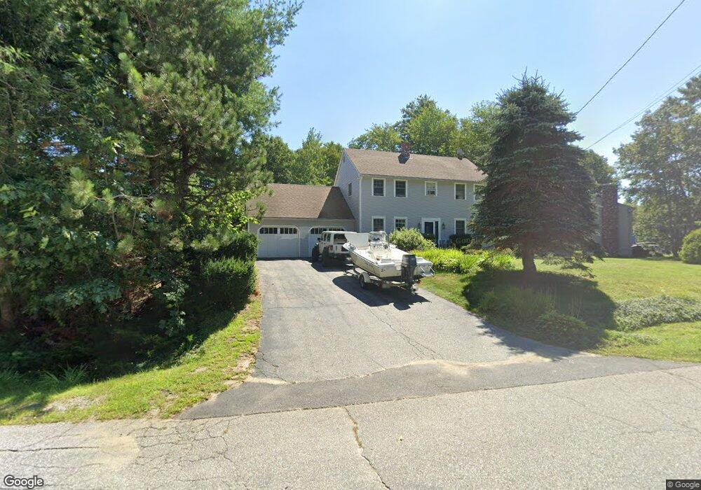
4 Meredith Dr Brunswick, ME 04011
Estimated Value: $630,576 - $725,000
3
Beds
2
Baths
2,016
Sq Ft
$334/Sq Ft
Est. Value
About This Home
This home is located at 4 Meredith Dr, Brunswick, ME 04011 and is currently estimated at $673,644, approximately $334 per square foot. 4 Meredith Dr is a home located in Cumberland County with nearby schools including Kate Furbish Elementary School, Brunswick Jr High School, and Brunswick High School.
Ownership History
Date
Name
Owned For
Owner Type
Purchase Details
Closed on
Jun 6, 2007
Sold by
Provost Gordon W
Bought by
Croatti Stephanie D and Croatti Paul E
Current Estimated Value
Home Financials for this Owner
Home Financials are based on the most recent Mortgage that was taken out on this home.
Original Mortgage
$150,000
Interest Rate
6.17%
Mortgage Type
Unknown
Create a Home Valuation Report for This Property
The Home Valuation Report is an in-depth analysis detailing your home's value as well as a comparison with similar homes in the area
Home Values in the Area
Average Home Value in this Area
Purchase History
| Date | Buyer | Sale Price | Title Company |
|---|---|---|---|
| Croatti Stephanie D | -- | -- |
Source: Public Records
Mortgage History
| Date | Status | Borrower | Loan Amount |
|---|---|---|---|
| Open | Croatti Stephanie D | $15,000 | |
| Open | Croatti Stephanie D | $170,000 | |
| Closed | Croatti Stephanie D | $57,000 | |
| Closed | Croatti Stephanie D | $150,000 |
Source: Public Records
Tax History Compared to Growth
Tax History
| Year | Tax Paid | Tax Assessment Tax Assessment Total Assessment is a certain percentage of the fair market value that is determined by local assessors to be the total taxable value of land and additions on the property. | Land | Improvement |
|---|---|---|---|---|
| 2024 | $7,095 | $297,500 | $63,500 | $234,000 |
| 2023 | $6,929 | $297,500 | $63,500 | $234,000 |
| 2022 | $6,453 | $297,500 | $63,500 | $234,000 |
| 2021 | $6,206 | $297,500 | $63,500 | $234,000 |
| 2020 | $2,099 | $285,100 | $63,500 | $221,600 |
| 2019 | $5,622 | $285,100 | $63,500 | $221,600 |
| 2018 | $5,394 | $285,100 | $63,500 | $221,600 |
| 2017 | $5,237 | $285,100 | $63,500 | $221,600 |
| 2016 | $1,520 | $145,100 | $29,200 | $115,900 |
| 2015 | $4,115 | $145,100 | $29,200 | $115,900 |
| 2014 | $3,976 | $145,100 | $29,200 | $115,900 |
| 2013 | -- | $145,100 | $29,200 | $115,900 |
Source: Public Records
Map
Nearby Homes
- Lot #0 Church Rd
- 2 Skylar Ln
- 6 Willow Grove Rd
- 24 Moore Ave
- 175 Columbia Ave
- 360 Church Rd
- 117 Mckeen St
- Lot 196 Mckeen St Unit 15
- Lot 196 Mckeen St Unit 6
- Lot 196 Mckeen St Unit 13
- Lot 196 Mckeen St Unit 18
- Lot 196 Mckeen St Unit 10
- Lot 196 Mckeen St Unit 21
- Lot 196 Mckeen St Unit 4
- Lot 196 Mckeen St Unit 16
- Lot 196 Mckeen St Unit 3
- Lot 196 Mckeen St Unit 14
- Lot 196 Mckeen St Unit 7
- Lot 196 Mckeen St Unit 11
- Lot 196 Mckeen St Unit 19