4 Millstone Dr Concord, NH 03301
South End NeighborhoodEstimated Value: $639,540 - $704,000
4
Beds
3
Baths
2,520
Sq Ft
$268/Sq Ft
Est. Value
About This Home
This home is located at 4 Millstone Dr, Concord, NH 03301 and is currently estimated at $674,635, approximately $267 per square foot. 4 Millstone Dr is a home located in Merrimack County with nearby schools including Abbot-Downing School, Rundlett Middle School, and Concord High School.
Ownership History
Date
Name
Owned For
Owner Type
Purchase Details
Closed on
Nov 10, 1988
Bought by
Blossom Randy J and Blossom Dayle M
Current Estimated Value
Create a Home Valuation Report for This Property
The Home Valuation Report is an in-depth analysis detailing your home's value as well as a comparison with similar homes in the area
Home Values in the Area
Average Home Value in this Area
Purchase History
| Date | Buyer | Sale Price | Title Company |
|---|---|---|---|
| Blossom Randy J | $130,000 | -- |
Source: Public Records
Mortgage History
| Date | Status | Borrower | Loan Amount |
|---|---|---|---|
| Open | Blossom Randy J | $252,637 |
Source: Public Records
Tax History
| Year | Tax Paid | Tax Assessment Tax Assessment Total Assessment is a certain percentage of the fair market value that is determined by local assessors to be the total taxable value of land and additions on the property. | Land | Improvement |
|---|---|---|---|---|
| 2025 | $12,407 | $426,200 | $155,200 | $271,000 |
| 2024 | $11,801 | $426,200 | $155,200 | $271,000 |
| 2023 | $11,448 | $426,200 | $155,200 | $271,000 |
| 2022 | $11,034 | $426,200 | $155,200 | $271,000 |
| 2021 | $9,679 | $385,300 | $154,100 | $231,200 |
| 2020 | $9,080 | $339,300 | $121,900 | $217,400 |
| 2019 | $8,820 | $317,500 | $117,400 | $200,100 |
| 2018 | $8,623 | $305,900 | $104,200 | $201,700 |
| 2017 | $8,401 | $297,500 | $104,200 | $193,300 |
| 2016 | $8,179 | $295,600 | $104,200 | $191,400 |
| 2015 | $7,505 | $274,500 | $86,700 | $187,800 |
| 2014 | $7,359 | $274,500 | $86,700 | $187,800 |
| 2013 | -- | $284,100 | $86,700 | $197,400 |
| 2012 | -- | $278,000 | $82,600 | $195,400 |
Source: Public Records
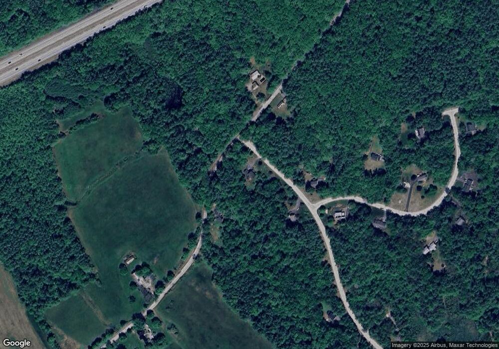
Map
Nearby Homes
- 8 Spillway Ln
- 211 Hedgerose Ln
- 120 Hooksett Turnpike
- 1 Deer Track Ln
- 592 Page Rd
- 6 Reserve Place
- 4 Cedar Ln
- 21 Hooksett Turnpike
- 71 Overlook Dr
- 244 Page Rd
- 8 Longview Dr
- 43 Hampshire Hills Dr
- 63 Ridge Rd
- 20 Cypress St
- 0 South St Unit 4969509
- 4 Princeton St
- 289 South St
- 24 Ridge Rd
- 10 Ridge Rd
- 5 Holly Cir
- 53 Stickney Hill Rd
- 10 Millstone Dr
- 9 Millstone Dr
- 35 Stickney Hill Rd
- 16 Millstone Dr
- 34 Stickney Hill Rd
- 2 Spillway Ln
- 19 Millstone Dr
- 5 Spillway Ln
- 62 Stickney Hill Rd
- 84 Stickney Hill Rd
- 22 Millstone Dr
- 15 Spillway Ln
- 23 Spillway Ln
- 69 Stickney Hill Rd
- 12 Spillway Ln
- 20 Spillway Ln
- 27 Millstone Dr
- 26 Spillway Ln
- 32 Millstone Dr
Your Personal Tour Guide
Ask me questions while you tour the home.