4 Minnesota Rd Little Compton, RI 02837
Estimated Value: $2,789,000 - $3,793,000
6
Beds
3
Baths
2,580
Sq Ft
$1,201/Sq Ft
Est. Value
About This Home
This home is located at 4 Minnesota Rd, Little Compton, RI 02837 and is currently estimated at $3,097,370, approximately $1,200 per square foot. 4 Minnesota Rd is a home located in Newport County with nearby schools including Wilbur & McMahon School.
Ownership History
Date
Name
Owned For
Owner Type
Purchase Details
Closed on
Nov 22, 2024
Sold by
Carter Pamela
Bought by
Pamela Carter Ret and Carter
Current Estimated Value
Purchase Details
Closed on
Apr 26, 2002
Sold by
Harbor Sakonnett
Bought by
Rowe Pamela Carter
Create a Home Valuation Report for This Property
The Home Valuation Report is an in-depth analysis detailing your home's value as well as a comparison with similar homes in the area
Home Values in the Area
Average Home Value in this Area
Purchase History
| Date | Buyer | Sale Price | Title Company |
|---|---|---|---|
| Pamela Carter Ret | -- | None Available | |
| Pamela Carter Ret | -- | None Available | |
| Pamela Carter Ret | -- | None Available | |
| Rowe Pamela Carter | $1,508,000 | -- | |
| Pamela Carter Rowe | $1,508,000 | -- |
Source: Public Records
Tax History Compared to Growth
Tax History
| Year | Tax Paid | Tax Assessment Tax Assessment Total Assessment is a certain percentage of the fair market value that is determined by local assessors to be the total taxable value of land and additions on the property. | Land | Improvement |
|---|---|---|---|---|
| 2025 | $13,467 | $2,811,500 | $2,397,200 | $414,300 |
| 2024 | $11,945 | $2,351,400 | $2,084,400 | $267,000 |
| 2023 | $11,572 | $2,333,100 | $2,084,400 | $248,700 |
| 2022 | $11,432 | $2,333,100 | $2,084,400 | $248,700 |
| 2021 | $10,826 | $1,792,400 | $1,554,200 | $238,200 |
| 2020 | $10,736 | $1,792,400 | $1,554,200 | $238,200 |
| 2019 | $10,629 | $1,792,400 | $1,554,200 | $238,200 |
| 2018 | $9,144 | $1,534,300 | $1,308,800 | $225,500 |
| 2016 | $8,699 | $1,534,300 | $1,308,800 | $225,500 |
| 2015 | $8,853 | $1,539,600 | $1,288,900 | $250,700 |
| 2014 | $8,683 | $1,539,600 | $1,288,900 | $250,700 |
Source: Public Records
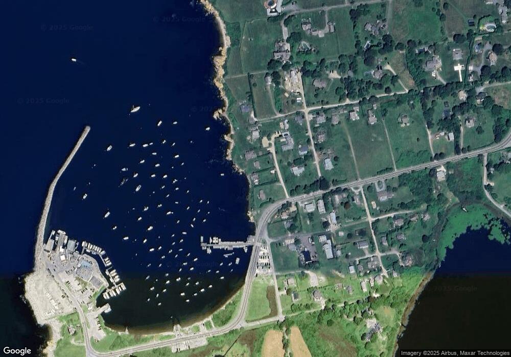
Map
Nearby Homes
- 536 W Main Rd
- 141 S Of Commons Rd
- 441 W Main Rd
- 18 Old Barn Rd
- 128 Maple Ave
- 515 Indian Ave
- 62 Howland Ave
- 0 Willow Ave
- 78 Cornelius Dr
- 141 Gray Craig Rd
- 180 W Main Rd
- 10 Bartlett Rd
- 17 Ferolbink Way
- 16 Sachuest Dr
- 304 Brayton Point Rd
- 0 Saltwood Dr
- 4 James St
- 155 W Main Rd
- 189 Brayton Point Rd
- 140 Tuckerman Ave
- 6 Minnesota Rd
- 161 Sakonnet Point Rd
- 8 Minnesota Rd
- 155 Sakonnet Point Rd
- 10 Minnesota Rd
- 160 Sakonnet Point Rd
- 7 Minnesota Rd
- 6 Montana Rd
- 162 Sakonnet Point Rd
- 154 Sakonnet Point Rd
- 9 Minnesota Rd
- 41 Goodrich Ln
- 152 Sakonnet Point Rd
- 143B Sakonnet Point Rd
- 143 Sakonnet Point Rd
- 143B Sakonnet Point Rd
- 143 Sakonnet Point Rd
- 10 Montana Rd
- 7 Montana Rd
- 21 California Rd