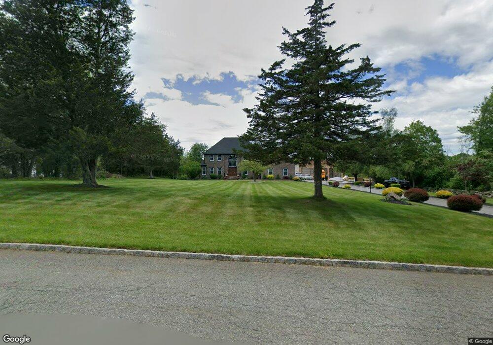
4 Misty Ln Andover, NJ 07821
Estimated Value: $737,000 - $858,000
--
Bed
--
Bath
3,172
Sq Ft
$247/Sq Ft
Est. Value
About This Home
This home is located at 4 Misty Ln, Andover, NJ 07821 and is currently estimated at $782,498, approximately $246 per square foot. 4 Misty Ln is a home located in Sussex County with nearby schools including Green Hills School and Tranquility Adventist School.
Ownership History
Date
Name
Owned For
Owner Type
Purchase Details
Closed on
May 11, 1999
Sold by
Bank America National Trust Company
Bought by
Drislane William G and Drislane Margaret A
Current Estimated Value
Home Financials for this Owner
Home Financials are based on the most recent Mortgage that was taken out on this home.
Original Mortgage
$209,000
Outstanding Balance
$53,287
Interest Rate
6.88%
Estimated Equity
$729,211
Purchase Details
Closed on
Sep 24, 1998
Sold by
Dunphy Timothy and Dunphy Janice
Bought by
Bankamerica National Trust Co
Create a Home Valuation Report for This Property
The Home Valuation Report is an in-depth analysis detailing your home's value as well as a comparison with similar homes in the area
Home Values in the Area
Average Home Value in this Area
Purchase History
| Date | Buyer | Sale Price | Title Company |
|---|---|---|---|
| Drislane William G | $279,000 | Commonwealth Land Title Ins | |
| Bankamerica National Trust Co | -- | -- |
Source: Public Records
Mortgage History
| Date | Status | Borrower | Loan Amount |
|---|---|---|---|
| Open | Drislane William G | $209,000 |
Source: Public Records
Tax History Compared to Growth
Tax History
| Year | Tax Paid | Tax Assessment Tax Assessment Total Assessment is a certain percentage of the fair market value that is determined by local assessors to be the total taxable value of land and additions on the property. | Land | Improvement |
|---|---|---|---|---|
| 2025 | $17,094 | $774,700 | $152,600 | $622,100 |
| 2024 | $16,971 | $439,200 | $127,200 | $312,000 |
| 2023 | $16,971 | $439,200 | $127,200 | $312,000 |
| 2022 | $15,700 | $427,100 | $127,200 | $299,900 |
| 2021 | $15,495 | $427,100 | $127,200 | $299,900 |
| 2020 | $15,119 | $427,100 | $127,200 | $299,900 |
| 2019 | $14,799 | $427,100 | $127,200 | $299,900 |
| 2018 | $15,576 | $427,100 | $127,200 | $299,900 |
| 2017 | $15,265 | $427,100 | $127,200 | $299,900 |
| 2016 | $14,816 | $427,100 | $127,200 | $299,900 |
| 2015 | $14,287 | $427,100 | $127,200 | $299,900 |
| 2014 | $13,898 | $427,100 | $127,200 | $299,900 |
Source: Public Records
Map
Nearby Homes
- 8 Limekiln Ct
- 37 Pequest Rd
- 88 Kennedy Rd
- 73 Wolfs Corner Rd
- 8 Woodfield Rd
- 78 Hillside Terrace
- 0 Decker Pond Airport Rd Unit 3945534
- 14 Hillside Terrace
- 520 Ridge Rd
- 516 Ridge Rd
- 288 Decker Pond Rd
- 735 New Jersey 94
- 5 Augusta Ct
- 11 Henry Budd Cir
- 244 Main St
- 247 Main St
- 34 Allamuchy Trail
- 411 Shades of Death Rd
- 7 Lakeview Trail
- 10 Rushmore Ln