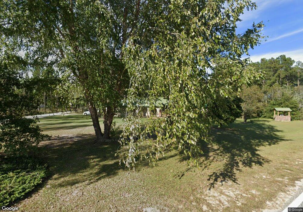
4 Moody Rd Hazlehurst, GA 31539
Estimated Value: $111,000 - $180,000
3
Beds
2
Baths
1,913
Sq Ft
$72/Sq Ft
Est. Value
About This Home
This home is located at 4 Moody Rd, Hazlehurst, GA 31539 and is currently estimated at $137,007, approximately $71 per square foot. 4 Moody Rd is a home located in Jeff Davis County with nearby schools including Jeff Davis Primary School, Jeff Davis Elementary School, and Jeff Davis Middle School.
Ownership History
Date
Name
Owned For
Owner Type
Purchase Details
Closed on
Jun 24, 2022
Sold by
Davis Norman Terry
Bought by
Eason Brenda
Current Estimated Value
Home Financials for this Owner
Home Financials are based on the most recent Mortgage that was taken out on this home.
Original Mortgage
$66,500
Outstanding Balance
$59,732
Interest Rate
5.1%
Mortgage Type
New Conventional
Estimated Equity
$77,275
Purchase Details
Closed on
Aug 6, 2014
Sold by
Davis Norman C
Bought by
Davis Norman Terry
Purchase Details
Closed on
Dec 6, 1994
Bought by
Davis Norman C and Davis Billie
Purchase Details
Closed on
Oct 6, 1989
Bought by
Howell Doris W
Purchase Details
Closed on
Jan 1, 1986
Bought by
Stone Richard S
Create a Home Valuation Report for This Property
The Home Valuation Report is an in-depth analysis detailing your home's value as well as a comparison with similar homes in the area
Home Values in the Area
Average Home Value in this Area
Purchase History
| Date | Buyer | Sale Price | Title Company |
|---|---|---|---|
| Eason Brenda | $70,000 | -- | |
| Davis Norman Terry | -- | -- | |
| Davis Norman C | $72,000 | -- | |
| Howell Doris W | $59,000 | -- | |
| Stone Richard S | $3,000 | -- |
Source: Public Records
Mortgage History
| Date | Status | Borrower | Loan Amount |
|---|---|---|---|
| Open | Eason Brenda | $66,500 |
Source: Public Records
Tax History Compared to Growth
Tax History
| Year | Tax Paid | Tax Assessment Tax Assessment Total Assessment is a certain percentage of the fair market value that is determined by local assessors to be the total taxable value of land and additions on the property. | Land | Improvement |
|---|---|---|---|---|
| 2024 | $1,267 | $43,140 | $1,800 | $41,340 |
| 2023 | $823 | $33,878 | $1,186 | $32,692 |
| 2022 | $995 | $33,878 | $1,186 | $32,692 |
| 2021 | $995 | $33,878 | $1,186 | $32,692 |
| 2020 | $995 | $33,878 | $1,186 | $32,692 |
| 2019 | $995 | $33,878 | $1,186 | $32,692 |
| 2018 | $995 | $33,878 | $1,186 | $32,692 |
| 2017 | $859 | $29,752 | $1,186 | $28,566 |
| 2016 | $844 | $29,752 | $1,186 | $28,566 |
| 2015 | -- | $29,752 | $1,186 | $28,566 |
| 2014 | -- | $29,732 | $1,186 | $28,546 |
Source: Public Records
Map
Nearby Homes
- 34 Bradford Ln
- 11 Holy Hill Rd
- 77 Jimmy Boatright Dr
- 16 Beech Rd
- 102 W Palm Rd
- 371 Burketts Ferry Rd
- 120 Elizabeth Church Rd
- 37 Dogwood Rd
- 393 Douglas Hwy
- 0 Collins St
- 74 Leslie Rd
- 74 74 Leslie Rd
- 27 Park Ln
- 42 Claxton Rd
- 00 Elizabeth Church Rd
- 00 Pat Dixon St & Charles Rogers Blvd
- 185 S Cromartie St
- 0 Charles Rogers Blvd
- 45 Elton St
- 44 Kersey St
- 19 Moody Rd Unit 1
- 19 Moody Rd
- 516 Kirkland Still Rd
- 201 Wilcox Oquinn Rd
- 487 Kirkland Still Rd
- 35 Moody Rd
- 43 Moody Rd
- 478 Kirkland Still Rd
- 545 Kirkland Still Rd
- 443 Kirkland Still Rd
- 159 Wilcox Oquinn Rd
- 120 Campbell Rd
- 37 Moody Rd
- 140 Wilcox Oquinn Rd
- 557 Kirkland Still Rd
- 399 Kirkland Still Rd
- 577 Kirkland Still Rd Unit 5
- 400 Kirkland Still Rd
- 125 Moody Rd
- 100 Campbell Rd