4 N Landing Way Gloucester, MA 01930
West Gloucester NeighborhoodEstimated Value: $678,000 - $954,791
1
Bed
2
Baths
742
Sq Ft
$1,094/Sq Ft
Est. Value
About This Home
This home is located at 4 N Landing Way, Gloucester, MA 01930 and is currently estimated at $811,948, approximately $1,094 per square foot. 4 N Landing Way is a home located in Essex County with nearby schools including West Parish, Ralph B O'maley Middle School, and Faith Christian School.
Ownership History
Date
Name
Owned For
Owner Type
Purchase Details
Closed on
Mar 8, 2007
Bought by
North Landing Road Rt
Current Estimated Value
Home Financials for this Owner
Home Financials are based on the most recent Mortgage that was taken out on this home.
Original Mortgage
$544,185
Outstanding Balance
$330,108
Interest Rate
6.3%
Mortgage Type
Purchase Money Mortgage
Estimated Equity
$481,840
Create a Home Valuation Report for This Property
The Home Valuation Report is an in-depth analysis detailing your home's value as well as a comparison with similar homes in the area
Home Values in the Area
Average Home Value in this Area
Purchase History
| Date | Buyer | Sale Price | Title Company |
|---|---|---|---|
| North Landing Road Rt | -- | -- |
Source: Public Records
Mortgage History
| Date | Status | Borrower | Loan Amount |
|---|---|---|---|
| Open | North Landing Road Rt | $544,185 |
Source: Public Records
Tax History Compared to Growth
Tax History
| Year | Tax Paid | Tax Assessment Tax Assessment Total Assessment is a certain percentage of the fair market value that is determined by local assessors to be the total taxable value of land and additions on the property. | Land | Improvement |
|---|---|---|---|---|
| 2025 | $8,385 | $862,700 | $607,300 | $255,400 |
| 2024 | $8,266 | $849,500 | $578,100 | $271,400 |
| 2023 | $7,683 | $725,500 | $493,600 | $231,900 |
| 2022 | $7,293 | $621,700 | $429,300 | $192,400 |
| 2021 | $7,082 | $569,300 | $390,100 | $179,200 |
| 2020 | $7,971 | $646,500 | $484,300 | $162,200 |
| 2019 | $7,798 | $614,500 | $461,800 | $152,700 |
| 2018 | $7,532 | $582,500 | $450,500 | $132,000 |
| 2017 | $7,236 | $548,600 | $428,700 | $119,900 |
| 2016 | $7,034 | $516,800 | $410,300 | $106,500 |
| 2015 | $6,814 | $499,200 | $401,000 | $98,200 |
Source: Public Records
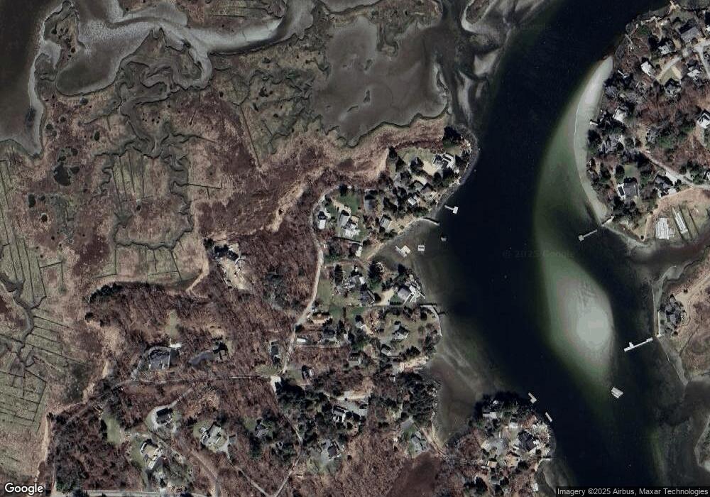
Map
Nearby Homes
- 109 Riverview Rd
- 30 Atlantic St
- 5 Samoset Rd Unit A
- 49 Thurston Point Rd
- 145 Essex Ave Unit 610
- 18 Cherry St
- 227 Essex Ave
- 65 Poplar St
- 196 Washington St
- 188 Atlantic St
- 368 Essex Ave
- 19 Mystic Ave
- 15 Harvard St
- 3 Stone Ct
- 12 Woodward Ave
- 78 Grove St
- 226 Atlantic St
- 8 Summer St Unit 103
- 40 Sargent St
- 33 Maplewood Ave Unit 21