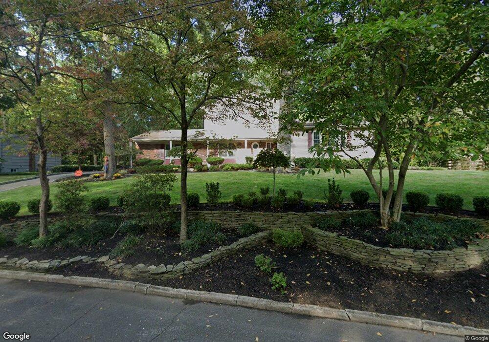
4 N Point Rd Lincroft, NJ 07738
Estimated Value: $856,081 - $1,108,000
3
Beds
3
Baths
2,254
Sq Ft
$433/Sq Ft
Est. Value
About This Home
This home is located at 4 N Point Rd, Lincroft, NJ 07738 and is currently estimated at $975,270, approximately $432 per square foot. 4 N Point Rd is a home located in Monmouth County with nearby schools including Lincroft Elementary School, Thompson Middle School, and Middletown - South High School.
Ownership History
Date
Name
Owned For
Owner Type
Purchase Details
Closed on
Oct 20, 2009
Sold by
Allen Emerson R
Bought by
Occhipinti George J and Occhipinti Joan J
Current Estimated Value
Home Financials for this Owner
Home Financials are based on the most recent Mortgage that was taken out on this home.
Original Mortgage
$235,000
Outstanding Balance
$147,797
Interest Rate
4.37%
Mortgage Type
New Conventional
Estimated Equity
$827,473
Create a Home Valuation Report for This Property
The Home Valuation Report is an in-depth analysis detailing your home's value as well as a comparison with similar homes in the area
Home Values in the Area
Average Home Value in this Area
Purchase History
| Date | Buyer | Sale Price | Title Company |
|---|---|---|---|
| Occhipinti George J | $560,000 | Nrt Title Agency Llc |
Source: Public Records
Mortgage History
| Date | Status | Borrower | Loan Amount |
|---|---|---|---|
| Open | Occhipinti George J | $235,000 |
Source: Public Records
Tax History
| Year | Tax Paid | Tax Assessment Tax Assessment Total Assessment is a certain percentage of the fair market value that is determined by local assessors to be the total taxable value of land and additions on the property. | Land | Improvement |
|---|---|---|---|---|
| 2025 | $11,510 | $766,900 | $427,200 | $339,700 |
| 2024 | $10,150 | $699,700 | $366,300 | $333,400 |
Source: Public Records
Map
Nearby Homes
- 1 E Point Rd
- 202 Woodland Dr
- 45 Turnberry Dr
- 97 Lawley Dr
- 8 Glenwood Dr
- 10 Hance Ave
- 7 Boxwood Terrace Unit 250
- 158 Cloverdale Cir
- 19 Meadow Dr
- 31 Branford Cir
- 29 Dickinson Ct Unit 7
- 4 Rivers Edge Dr
- 47 Willow Rd
- 12 Ellsworth Ct
- 56 Plum St
- 6 Buchhop Ln
- 7 Buchhop Ln
- 50 Hancock Ct Unit 129B
- 4 Dickinson Ct
- 29 Rambling Meadow Ct
- 2 N Point Rd
- 6 N Point Rd
- 1 N Point Rd
- 3 N Point Rd
- 8 N Point Rd
- 44 Swimming River Rd
- 60 Swimming River Rd
- 2 Roger Ave
- 5 N Point Rd
- 53 Swimming River Rd
- 4 High Point Rd
- 55 Swimming River Rd
- 3 High Point Rd
- 31 Pine St
- 38 Swimming River Rd
- 1 Roger Ave
- 64 Swimming River Rd
- 5 High Point Rd
- 27 Pine St
- 4 Roger Ave
Your Personal Tour Guide
Ask me questions while you tour the home.