Estimated Value: $644,894 - $797,000
3
Beds
2
Baths
1,306
Sq Ft
$531/Sq Ft
Est. Value
About This Home
This home is located at 4 Nash Rd, Acton, MA 01720 and is currently estimated at $693,474, approximately $530 per square foot. 4 Nash Rd is a home located in Middlesex County with nearby schools including Acton-Boxborough Regional High School and Maynard Knowledge Beginnings.
Ownership History
Date
Name
Owned For
Owner Type
Purchase Details
Closed on
Mar 18, 2005
Sold by
Danehy Matthew J and Kjellberg Ulrike
Bought by
Baldrachi Peter W
Current Estimated Value
Home Financials for this Owner
Home Financials are based on the most recent Mortgage that was taken out on this home.
Original Mortgage
$123,000
Outstanding Balance
$62,482
Interest Rate
5.64%
Mortgage Type
Purchase Money Mortgage
Estimated Equity
$630,992
Purchase Details
Closed on
Oct 16, 2002
Sold by
Doughty Bernard L and Doughty Susan C
Bought by
Danehy Matthew J and Kjellberg Ulrike
Home Financials for this Owner
Home Financials are based on the most recent Mortgage that was taken out on this home.
Original Mortgage
$266,800
Interest Rate
6.18%
Mortgage Type
Purchase Money Mortgage
Create a Home Valuation Report for This Property
The Home Valuation Report is an in-depth analysis detailing your home's value as well as a comparison with similar homes in the area
Home Values in the Area
Average Home Value in this Area
Purchase History
| Date | Buyer | Sale Price | Title Company |
|---|---|---|---|
| Baldrachi Peter W | $458,000 | -- | |
| Danehy Matthew J | $333,500 | -- |
Source: Public Records
Mortgage History
| Date | Status | Borrower | Loan Amount |
|---|---|---|---|
| Open | Baldrachi Peter W | $123,000 | |
| Previous Owner | Danehy Matthew J | $266,800 |
Source: Public Records
Tax History
| Year | Tax Paid | Tax Assessment Tax Assessment Total Assessment is a certain percentage of the fair market value that is determined by local assessors to be the total taxable value of land and additions on the property. | Land | Improvement |
|---|---|---|---|---|
| 2025 | $9,702 | $565,700 | $304,600 | $261,100 |
| 2024 | $9,339 | $560,200 | $304,600 | $255,600 |
| 2023 | $9,307 | $530,000 | $276,900 | $253,100 |
| 2022 | $8,504 | $437,200 | $240,800 | $196,400 |
| 2021 | $8,209 | $405,800 | $223,000 | $182,800 |
| 2020 | $7,627 | $396,400 | $223,000 | $173,400 |
| 2019 | $7,250 | $374,300 | $223,000 | $151,300 |
| 2018 | $7,240 | $373,600 | $223,000 | $150,600 |
| 2017 | $7,121 | $373,600 | $223,000 | $150,600 |
| 2016 | $6,854 | $356,400 | $223,000 | $133,400 |
| 2015 | $6,789 | $356,400 | $223,000 | $133,400 |
| 2014 | $6,699 | $344,400 | $223,000 | $121,400 |
Source: Public Records
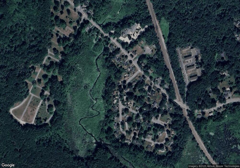
Map
Nearby Homes
- 4,7,8 Crestwood Ln
- 116 Windsor Ave
- 90 Willow St Unit 1
- 92 Willow St Unit 3
- 92 Willow St Unit 2
- 285 Central St Unit 285
- 19 Railroad St Unit D2
- 19 Railroad St Unit C2
- 25 Nylander Way
- 246 Main St Unit 2
- 131 Main St
- 129 Main St Unit 129
- 71 Liberty St
- 7 Kelley Rd
- 5 Elm St Unit 1
- 40 High St
- 247 W Acton Rd
- 70 River St
- 79 Charter Rd
- 63 Conant St