4 Naushon Rd Vineyard Haven, MA 02568
West Tisbury NeighborhoodEstimated Value: $1,966,000 - $2,494,000
About This Home
This home is located at 4 Naushon Rd, Vineyard Haven, MA 02568 and is currently estimated at $2,310,521, approximately $1,156 per square foot. 4 Naushon Rd is a home located in Dukes County with nearby schools including Martha's Vineyard Regional High School, Martha's Vineyard Charter School, and Vineyard Montessori School.
Ownership History
We collect this data history from publicly available records. To have your information removed, we recommend requesting removal directly through your county’s website.
Purchase Details
Purchase Details
Home Values in the Area
Average Home Value in this Area
Purchase History
We collect this data history from publicly available records. To have your information removed, we recommend requesting removal directly through your county’s website.
| Date | Buyer | Sale Price | Title Company |
|---|---|---|---|
| -- | -- | ||
| $350,000 | -- |
Tax History
We collect this data history from publicly available records. To have your information removed, we recommend requesting removal directly through your county’s website.
| Year | Tax Paid | Tax Assessment Tax Assessment Total Assessment is a certain percentage of the fair market value that is determined by local assessors to be the total taxable value of land and additions on the property. | Land | Improvement |
|---|---|---|---|---|
| 2025 | $10,935 | $2,413,900 | $1,416,000 | $997,900 |
| 2024 | $9,849 | $2,290,400 | $1,375,000 | $915,400 |
| 2023 | $9,718 | $2,229,000 | $1,366,600 | $862,400 |
| 2022 | $9,205 | $1,581,700 | $862,400 | $719,300 |
| 2021 | $8,994 | $1,474,500 | $804,900 | $669,600 |
| 2020 | $8,835 | $1,455,500 | $784,200 | $671,300 |
| 2019 | $8,208 | $1,328,100 | $712,100 | $616,000 |
| 2018 | $9,547 | $1,281,100 | $680,100 | $601,000 |
| 2017 | $6,974 | $1,168,200 | $680,100 | $488,100 |
| 2016 | $6,561 | $1,082,600 | $639,600 | $443,000 |
| 2015 | $6,182 | $1,082,600 | $639,600 | $443,000 |
| 2014 | $6,544 | $1,209,600 | $832,100 | $377,500 |
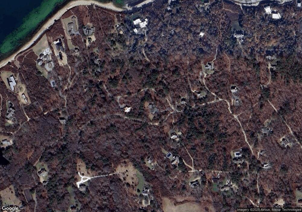
Map
- 11 Beach Pebble Rd Unit 48.3
- 180 Pilot Hill Farm Rd
- 60 Bartimus Luce Rd
- 5 Paula Ave
- 20 Brook Hollow Rd
- 225 Lamberts Cove Rd
- 12 Brook Hollow Rd
- 30 Water Gate Rd
- 55 Old House Way
- 16 Red Coat Hill Rd
- 318 Lamberts Cove Rd
- 20 James Pond Way
- 31 Lamberts Cove Rd
- 0 State Rd Unit 29.3
- 52 Heath Hen Ln Unit 5
- 52 Heath Hen Ln
- 15 Goah Way
- 33 Alyssa Ln
- 33 Alyssa Ln
- 72 Moonstone Way
- 17 Umbagog Ave Wt109 Unit 1
- 17 Umbagog Ave
- 30 Pebble Beach Rd
- 28 Naushon Rd
- 25 Winnecoette Ave
- 11 Chappaquiddick Ave
- 29 Naushon Rd
- 31 Winnecoette Ave
- 33 Winnecoette Ave
- 162 Gay Head Ave
- 26 Chappaquiddick Ave
- 155 Gay Head Ave
- 157 Chappaquiddick Ave
- 37 Naushon Rd
- 30 Beach Pebble Rd
- 32 Winnecoette Ave
- 83 Norton Farm Rd
- 30 Beach Pebble Rd
- 11 Winnecoette Ave
- 94 Norton Farm Rd
Ask me questions while you tour the home.