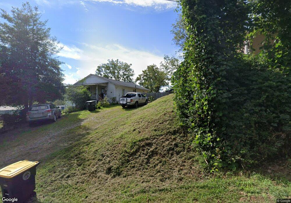
4 New Walnut St Unit 20-23 Asheville, NC 28804
Estimated Value: $194,000 - $362,000
2
Beds
1
Bath
1,064
Sq Ft
$284/Sq Ft
Est. Value
About This Home
This home is located at 4 New Walnut St Unit 20-23, Asheville, NC 28804 and is currently estimated at $302,126, approximately $283 per square foot. 4 New Walnut St Unit 20-23 is a home located in Buncombe County with nearby schools including Clyde A. Erwin High School, Woodfin Elementary, and Clyde A. Erwin Middle School.
Ownership History
Date
Name
Owned For
Owner Type
Purchase Details
Closed on
Jul 17, 2014
Sold by
Hensley Steve Edward
Bought by
Honeycutt Brandy
Current Estimated Value
Home Financials for this Owner
Home Financials are based on the most recent Mortgage that was taken out on this home.
Original Mortgage
$67,200
Interest Rate
4.2%
Mortgage Type
Unknown
Purchase Details
Closed on
Sep 19, 2007
Sold by
Hensley Maphra Sue
Bought by
Hensley Steve Edward
Create a Home Valuation Report for This Property
The Home Valuation Report is an in-depth analysis detailing your home's value as well as a comparison with similar homes in the area
Home Values in the Area
Average Home Value in this Area
Purchase History
| Date | Buyer | Sale Price | Title Company |
|---|---|---|---|
| Honeycutt Brandy | $84,000 | None Available | |
| Hensley Steve Edward | -- | None Available |
Source: Public Records
Mortgage History
| Date | Status | Borrower | Loan Amount |
|---|---|---|---|
| Closed | Honeycutt Brandy | $67,200 |
Source: Public Records
Tax History Compared to Growth
Tax History
| Year | Tax Paid | Tax Assessment Tax Assessment Total Assessment is a certain percentage of the fair market value that is determined by local assessors to be the total taxable value of land and additions on the property. | Land | Improvement |
|---|---|---|---|---|
| 2025 | -- | $154,500 | $52,900 | $101,600 |
| 2024 | -- | $154,500 | $52,900 | $101,600 |
| 2023 | $1,443 | $154,500 | $52,900 | $101,600 |
| 2022 | $1,427 | $154,500 | $52,900 | $101,600 |
| 2021 | $1,427 | $154,500 | $0 | $0 |
| 2020 | $1,194 | $124,500 | $0 | $0 |
| 2019 | $1,194 | $124,500 | $0 | $0 |
| 2018 | $1,132 | $124,500 | $0 | $0 |
| 2017 | $1,144 | $93,800 | $0 | $0 |
| 2016 | $946 | $93,800 | $0 | $0 |
| 2015 | $946 | $93,800 | $0 | $0 |
| 2014 | $946 | $93,800 | $0 | $0 |
Source: Public Records
Map
Nearby Homes
- 15 South Ln Unit 1
- 22 Mulberry St Unit 17 and 19
- 22 Mulberry St
- 1 View St Unit 5, Portion 3
- 8 Apple Ln
- 30 Summer St
- 15 Robin Ln
- 11 Vine St
- 13 Norton Dr
- 39 Vine St
- 153 Elkwood Ave
- 54 Vine St
- 14 Crestfield Ave
- 35 Brookdale Rd
- 35 Brookdale Rd Unit 13
- 35 Brookdale Rd Unit 1
- 33 Reese St
- 99999 Reese St
- 2 Baird Ln
- 123 Westwood Rd