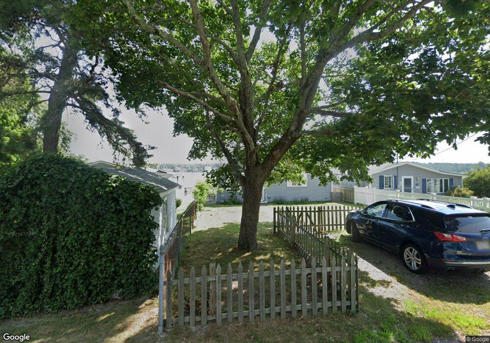
4 Nimrod Way Wareham, MA 02571
Wareham Center NeighborhoodEstimated Value: $486,000 - $605,536
2
Beds
1
Bath
814
Sq Ft
$667/Sq Ft
Est. Value
About This Home
This home is located at 4 Nimrod Way, Wareham, MA 02571 and is currently estimated at $542,634, approximately $666 per square foot. 4 Nimrod Way is a home located in Plymouth County.
Create a Home Valuation Report for This Property
The Home Valuation Report is an in-depth analysis detailing your home's value as well as a comparison with similar homes in the area
Home Values in the Area
Average Home Value in this Area
Tax History Compared to Growth
Tax History
| Year | Tax Paid | Tax Assessment Tax Assessment Total Assessment is a certain percentage of the fair market value that is determined by local assessors to be the total taxable value of land and additions on the property. | Land | Improvement |
|---|---|---|---|---|
| 2025 | $5,911 | $567,300 | $357,200 | $210,100 |
| 2024 | $5,512 | $490,800 | $269,400 | $221,400 |
| 2023 | $5,186 | $439,800 | $245,100 | $194,700 |
| 2022 | $5,186 | $393,500 | $245,100 | $148,400 |
| 2021 | $5,011 | $372,600 | $245,100 | $127,500 |
| 2020 | $4,833 | $364,500 | $245,100 | $119,400 |
| 2019 | $4,170 | $313,800 | $201,100 | $112,700 |
| 2018 | $4,003 | $293,700 | $201,100 | $92,600 |
| 2017 | $3,071 | $228,300 | $201,100 | $27,200 |
| 2016 | $3,059 | $226,100 | $191,300 | $34,800 |
| 2015 | $2,955 | $226,100 | $191,300 | $34,800 |
| 2014 | $3,034 | $236,100 | $181,800 | $54,300 |
Source: Public Records
Map
Nearby Homes