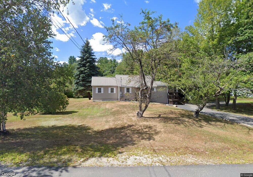
4 Nudd Rd West Ossipee, NH 03890
Estimated Value: $247,000 - $336,849
1
Bed
1
Bath
1,193
Sq Ft
$242/Sq Ft
Est. Value
About This Home
This home is located at 4 Nudd Rd, West Ossipee, NH 03890 and is currently estimated at $288,712, approximately $242 per square foot. 4 Nudd Rd is a home located in Carroll County with nearby schools including Ossipee Central School, Kingswood Regional Middle School, and Kingswood Regional High School.
Ownership History
Date
Name
Owned For
Owner Type
Purchase Details
Closed on
Aug 5, 2005
Sold by
Berry Raymond and Berry Charlotte
Bought by
Nudd Phyllis A
Current Estimated Value
Home Financials for this Owner
Home Financials are based on the most recent Mortgage that was taken out on this home.
Original Mortgage
$61,000
Interest Rate
5.63%
Mortgage Type
Purchase Money Mortgage
Create a Home Valuation Report for This Property
The Home Valuation Report is an in-depth analysis detailing your home's value as well as a comparison with similar homes in the area
Home Values in the Area
Average Home Value in this Area
Purchase History
| Date | Buyer | Sale Price | Title Company |
|---|---|---|---|
| Nudd Phyllis A | $80,000 | -- |
Source: Public Records
Mortgage History
| Date | Status | Borrower | Loan Amount |
|---|---|---|---|
| Open | Nudd Phyllis A | $101,725 | |
| Closed | Nudd Phyllis A | $61,000 |
Source: Public Records
Tax History
| Year | Tax Paid | Tax Assessment Tax Assessment Total Assessment is a certain percentage of the fair market value that is determined by local assessors to be the total taxable value of land and additions on the property. | Land | Improvement |
|---|---|---|---|---|
| 2024 | $3,333 | $287,300 | $132,000 | $155,300 |
| 2023 | $2,979 | $287,300 | $132,000 | $155,300 |
| 2022 | $2,209 | $120,200 | $25,200 | $95,000 |
| 2021 | $2,203 | $120,200 | $25,200 | $95,000 |
| 2020 | $2,049 | $120,200 | $25,200 | $95,000 |
| 2019 | $2,057 | $120,200 | $25,200 | $95,000 |
| 2018 | $2,192 | $105,400 | $25,200 | $80,200 |
| 2016 | $2,005 | $103,900 | $25,200 | $78,700 |
| 2015 | $1,904 | $103,900 | $25,200 | $78,700 |
| 2014 | $2,117 | $117,500 | $30,200 | $87,300 |
| 2013 | $2,043 | $117,500 | $30,200 | $87,300 |
Source: Public Records
Map
Nearby Homes
- 1785 White Mountain Hwy
- 00 Route 25 W Unit tbd
- 68 & 00 Gilman Valley & Route 25 W
- 68 Gilman Valley Rd
- 48 South Way
- 80 White Lake Rd
- 26 Logan Way
- Lot 113/114 Rocky Ln
- 14 Lollipop Ln
- 439 Silver Pine Ln
- Lot 18.1 White Mountain Hwy
- 74+76 Newman Drew Rd
- 24 Flynn Ln
- 78 Berry Ln
- 156 Fawn Dr
- 71 Mason Dr
- 31 Mcgrew Dr
- 206 E Chocorua River Dr
- 23 Summit View Dr
- 1800 Route 16
- 19 Nudd Rd
- 100 Route 25 W
- 20 Hobbs Rd
- 70 New Hampshire 25
- 10 Covered Bridge Rd
- 20 Covered Bridge Rd
- 1447 Ossipee Mountain Hwy
- 16 Covered Bridge Rd
- 50 Route 25
- 14 Covered Bridge Rd
- 14 Covered Bridge Rd
- 305+315 Newman Drew Rd
- 10 Covered Bridge Rd
- 315+305 Newman Drew
- 8 Covered Bridge Rd
- 100 New Hampshire 25
- 4 Covered Bridge Rd
- 1445 Ossipee Mountain Hwy
- 1405 Ossipee Mountain Hwy
- 340 Newman Drew Rd
Your Personal Tour Guide
Ask me questions while you tour the home.