4 Oak Knoll Rd Lincoln, MA 01773
Estimated Value: $1,258,696 - $1,478,000
4
Beds
3
Baths
3,560
Sq Ft
$378/Sq Ft
Est. Value
About This Home
This home is located at 4 Oak Knoll Rd, Lincoln, MA 01773 and is currently estimated at $1,347,424, approximately $378 per square foot. 4 Oak Knoll Rd is a home located in Middlesex County with nearby schools including Lincoln-Sudbury Regional High School, Tremont School, and Concord Academy.
Ownership History
Date
Name
Owned For
Owner Type
Purchase Details
Closed on
May 8, 1992
Sold by
Mudge Jeffrey M Est
Bought by
Murphy Patrick J and Colby Charlene J
Current Estimated Value
Home Financials for this Owner
Home Financials are based on the most recent Mortgage that was taken out on this home.
Original Mortgage
$115,600
Interest Rate
8.91%
Mortgage Type
Purchase Money Mortgage
Create a Home Valuation Report for This Property
The Home Valuation Report is an in-depth analysis detailing your home's value as well as a comparison with similar homes in the area
Home Values in the Area
Average Home Value in this Area
Purchase History
| Date | Buyer | Sale Price | Title Company |
|---|---|---|---|
| Murphy Patrick J | $136,000 | -- |
Source: Public Records
Mortgage History
| Date | Status | Borrower | Loan Amount |
|---|---|---|---|
| Closed | Murphy Patrick J | $115,600 |
Source: Public Records
Tax History Compared to Growth
Tax History
| Year | Tax Paid | Tax Assessment Tax Assessment Total Assessment is a certain percentage of the fair market value that is determined by local assessors to be the total taxable value of land and additions on the property. | Land | Improvement |
|---|---|---|---|---|
| 2025 | $116 | $903,100 | $465,500 | $437,600 |
| 2024 | $11,382 | $883,000 | $456,600 | $426,400 |
| 2023 | $12,073 | $867,300 | $477,100 | $390,200 |
| 2022 | $11,389 | $762,800 | $431,400 | $331,400 |
| 2021 | $10,758 | $693,200 | $374,800 | $318,400 |
| 2020 | $8,575 | $558,300 | $242,800 | $315,500 |
| 2019 | $7,019 | $500,300 | $216,600 | $283,700 |
| 2018 | $6,381 | $469,200 | $216,600 | $252,600 |
| 2017 | $6,392 | $466,600 | $216,600 | $250,000 |
| 2016 | $6,406 | $457,900 | $210,400 | $247,500 |
| 2015 | $5,794 | $409,500 | $167,000 | $242,500 |
| 2014 | $5,989 | $415,600 | $183,200 | $232,400 |
Source: Public Records
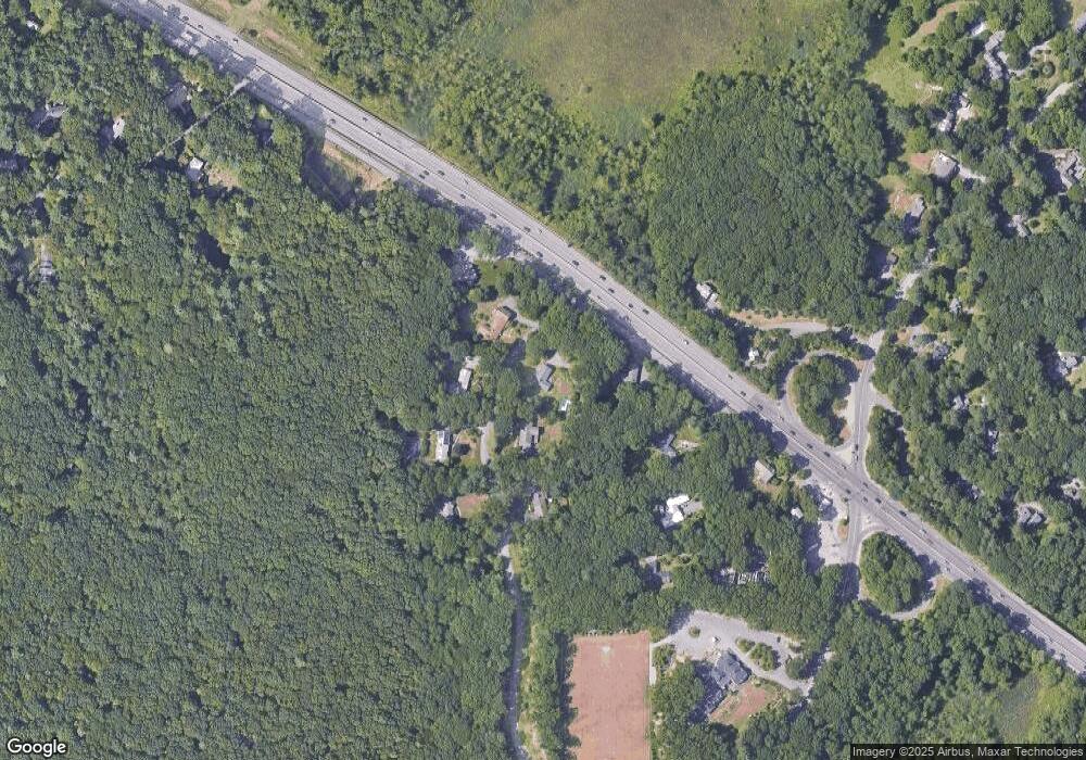
Map
Nearby Homes
- 16 Old Cambridge Turnpike
- 22 Old Cambridge Turnpike
- 9 Garland Rd
- 29 S Commons Unit D
- 5 South Commons Unit D
- 36 Indian Camp Ln Unit D
- 646 Cambridge Turnpike
- 241 Shadyside Ave
- 22 Lincoln Rd
- 10 Reiling Pond Rd
- 84 Davison Dr
- 69 Page Rd
- 60 Baker Bridge Rd
- 44 Baker Bridge Rd
- 8 Stratford Way
- 19 Conant Rd
- 61B Walden St
- 33 Old Concord Rd
- 96 Independence Rd
- 16 Hatch Farm Ln
- 2 Oak Knoll Rd
- 3 Oak Knoll Rd
- 7 Oak Knoll Rd
- 8 Oak Knoll Rd
- 119 Cambridge Turnpike
- 7 Red Maple Ln
- 109 Cambridge Turnpike
- 5 Red Maple Ln
- 9 Oak Knoll Rd
- 12 Oak Knoll Rd
- 5 Rockwood Ln
- 11 Oak Knoll Rd
- 118 Cambridge Turnpike
- 2 Tracey's Corner
- 9 Rockwood Ln
- 125 Cambridge Turnpike
- 124 Cambridge Turnpike
- 124 Cambridge Turnpike Unit 1
- 4 Traceys Corner
- 4 Tracey's Corner