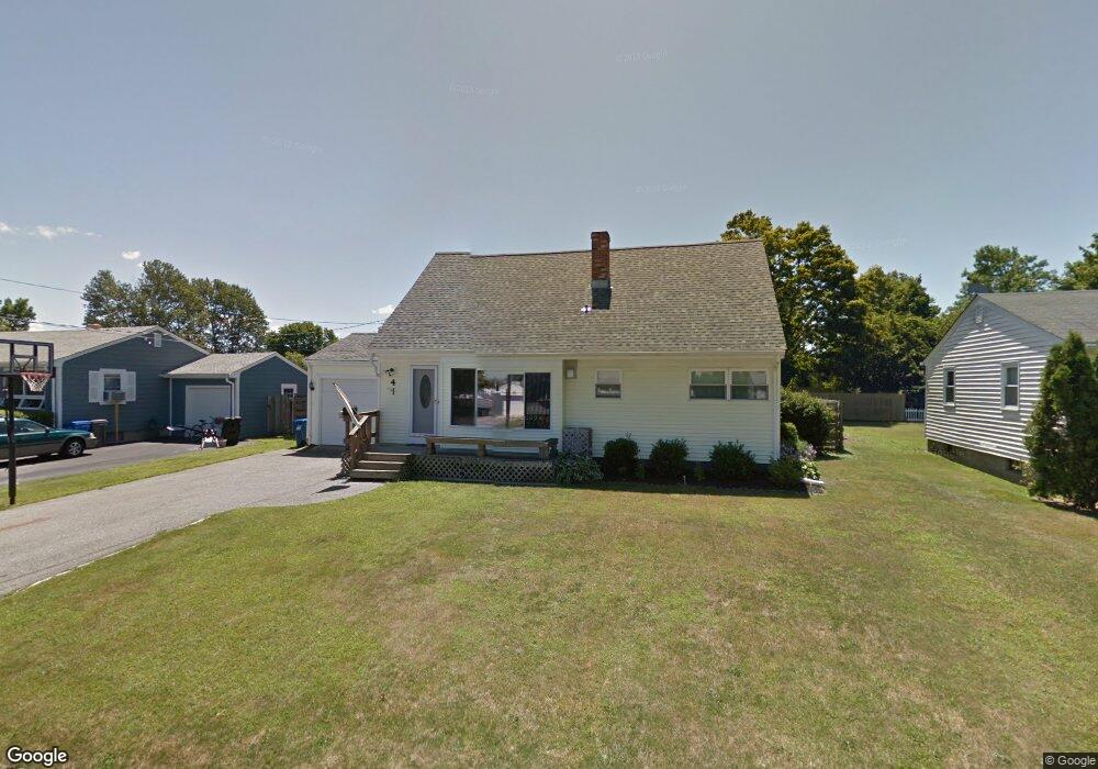
4 Orville Dr Middletown, RI 02842
Estimated Value: $639,000 - $769,000
3
Beds
2
Baths
1,916
Sq Ft
$359/Sq Ft
Est. Value
About This Home
This home is located at 4 Orville Dr, Middletown, RI 02842 and is currently estimated at $687,913, approximately $359 per square foot. 4 Orville Dr is a home located in Newport County with nearby schools including Middletown High School and All Saints STEAM Academy.
Ownership History
Date
Name
Owned For
Owner Type
Purchase Details
Closed on
Jul 9, 2007
Sold by
Menard Roger and Menard Judith
Bought by
Menard Christopher and Menard Karen
Current Estimated Value
Home Financials for this Owner
Home Financials are based on the most recent Mortgage that was taken out on this home.
Original Mortgage
$333,000
Outstanding Balance
$206,937
Interest Rate
6.39%
Mortgage Type
Purchase Money Mortgage
Estimated Equity
$480,976
Create a Home Valuation Report for This Property
The Home Valuation Report is an in-depth analysis detailing your home's value as well as a comparison with similar homes in the area
Home Values in the Area
Average Home Value in this Area
Purchase History
| Date | Buyer | Sale Price | Title Company |
|---|---|---|---|
| Menard Christopher | $374,000 | -- |
Source: Public Records
Mortgage History
| Date | Status | Borrower | Loan Amount |
|---|---|---|---|
| Open | Menard Christopher | $333,000 | |
| Previous Owner | Menard Christopher | $284,500 | |
| Previous Owner | Menard Christopher | $246,300 |
Source: Public Records
Tax History Compared to Growth
Tax History
| Year | Tax Paid | Tax Assessment Tax Assessment Total Assessment is a certain percentage of the fair market value that is determined by local assessors to be the total taxable value of land and additions on the property. | Land | Improvement |
|---|---|---|---|---|
| 2024 | $6,214 | $551,900 | $283,900 | $268,000 |
| 2023 | $4,663 | $370,400 | $183,200 | $187,200 |
| 2022 | $4,452 | $370,400 | $183,200 | $187,200 |
| 2021 | $4,452 | $370,400 | $183,200 | $187,200 |
| 2020 | $4,100 | $298,000 | $135,400 | $162,600 |
| 2018 | $4,098 | $298,000 | $135,400 | $162,600 |
| 2016 | $4,190 | $271,700 | $112,900 | $158,800 |
| 2015 | $4,086 | $271,700 | $112,900 | $158,800 |
| 2014 | $4,217 | $262,400 | $102,600 | $159,800 |
| 2013 | $4,122 | $262,400 | $102,600 | $159,800 |
Source: Public Records
Map
Nearby Homes
- 17 Wood Rd
- 92 Bayview Pkwy
- 56 Bayview Pkwy
- 16 King Rd
- 23 Sherman Ln
- 65 Maple Ave
- 86 Maple Ave
- 114 Maple Ave
- 17 Mariner Way
- 529 Forest Park
- 533 Forest Park
- 849 Forest Park
- 719 Forest Park
- 6 Wabasso Terrace
- 841 Forest Park
- 836 Forest Park
- 67 Linden St
- 19 Cows Path Rd
- 36 Willow Ave
- 66 Girard Ave Unit 401