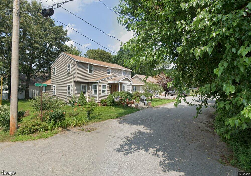
4 Palmer St Methuen, MA 01844
The East End NeighborhoodEstimated Value: $606,000 - $651,000
5
Beds
2
Baths
2,382
Sq Ft
$262/Sq Ft
Est. Value
About This Home
This home is located at 4 Palmer St, Methuen, MA 01844 and is currently estimated at $624,077, approximately $261 per square foot. 4 Palmer St is a home located in Essex County with nearby schools including South Point Elementary School, Methuen High School, and Community Day Charter Public School - Gateway.
Ownership History
Date
Name
Owned For
Owner Type
Purchase Details
Closed on
Oct 13, 2004
Sold by
Poitrast Stephen E
Bought by
Lemus Herber H
Current Estimated Value
Home Financials for this Owner
Home Financials are based on the most recent Mortgage that was taken out on this home.
Original Mortgage
$150,000
Outstanding Balance
$74,437
Interest Rate
5.8%
Mortgage Type
Purchase Money Mortgage
Estimated Equity
$549,640
Purchase Details
Closed on
Sep 10, 1991
Sold by
Murphy Laurence
Bought by
Poitrast Stephen E
Home Financials for this Owner
Home Financials are based on the most recent Mortgage that was taken out on this home.
Original Mortgage
$127,000
Interest Rate
9.43%
Mortgage Type
Purchase Money Mortgage
Create a Home Valuation Report for This Property
The Home Valuation Report is an in-depth analysis detailing your home's value as well as a comparison with similar homes in the area
Home Values in the Area
Average Home Value in this Area
Purchase History
| Date | Buyer | Sale Price | Title Company |
|---|---|---|---|
| Lemus Herber H | $305,000 | -- | |
| Poitrast Stephen E | $127,000 | -- |
Source: Public Records
Mortgage History
| Date | Status | Borrower | Loan Amount |
|---|---|---|---|
| Open | Lemus Herber H | $150,000 | |
| Previous Owner | Poitrast Stephen E | $127,000 |
Source: Public Records
Tax History Compared to Growth
Tax History
| Year | Tax Paid | Tax Assessment Tax Assessment Total Assessment is a certain percentage of the fair market value that is determined by local assessors to be the total taxable value of land and additions on the property. | Land | Improvement |
|---|---|---|---|---|
| 2025 | $5,815 | $549,600 | $208,000 | $341,600 |
| 2024 | $5,681 | $523,100 | $189,800 | $333,300 |
| 2023 | $5,479 | $468,300 | $168,700 | $299,600 |
| 2022 | $5,202 | $398,600 | $140,600 | $258,000 |
| 2021 | $4,901 | $371,600 | $133,500 | $238,100 |
| 2020 | $4,860 | $361,600 | $133,500 | $228,100 |
| 2019 | $4,616 | $325,300 | $119,500 | $205,800 |
| 2018 | $4,504 | $315,600 | $119,500 | $196,100 |
| 2017 | $4,380 | $299,000 | $119,500 | $179,500 |
| 2016 | $4,274 | $288,600 | $112,400 | $176,200 |
| 2015 | $4,035 | $276,400 | $112,400 | $164,000 |
Source: Public Records
Map
Nearby Homes
- 29 Pitman St
- 29 Wallace St
- 2 Goodrich Ave
- 45 Christopher Dr Unit 101
- 17 Ferry Rd
- 23 Constitution Way Unit 23
- 23 Constitution Way
- 95 Pilgrim Cir Unit 95
- 27 Russell Farm Dr
- 86 Comet Rd
- 49 Golf Ave
- 128 Pleasant Valley St
- 122 Pleasant Valley St
- 107 Farrwood Dr Unit 107
- 6 Aberdeen Rd
- 46 Oneida St
- 50 Woburn St
- 369 Farrwood Dr
- 115 Merrimack Rd
- 68 Sterling Ln