4 Pauls Way South Easton, MA 02375
Estimated Value: $865,447 - $953,000
4
Beds
3
Baths
2,484
Sq Ft
$365/Sq Ft
Est. Value
About This Home
This home is located at 4 Pauls Way, South Easton, MA 02375 and is currently estimated at $906,862, approximately $365 per square foot. 4 Pauls Way is a home located in Bristol County with nearby schools including Easton Middle School, Oliver Ames High School, and St Mary's Catholic School.
Ownership History
Date
Name
Owned For
Owner Type
Purchase Details
Closed on
Dec 6, 2004
Sold by
Andrade Richard E and Andrade Robin Charland
Bought by
Andrade Robin Charland
Current Estimated Value
Home Financials for this Owner
Home Financials are based on the most recent Mortgage that was taken out on this home.
Original Mortgage
$333,700
Outstanding Balance
$166,672
Interest Rate
5.69%
Mortgage Type
Purchase Money Mortgage
Estimated Equity
$740,190
Create a Home Valuation Report for This Property
The Home Valuation Report is an in-depth analysis detailing your home's value as well as a comparison with similar homes in the area
Home Values in the Area
Average Home Value in this Area
Purchase History
| Date | Buyer | Sale Price | Title Company |
|---|---|---|---|
| Andrade Robin Charland | $78,974 | -- | |
| Andrade Robin Charland | $78,974 | -- |
Source: Public Records
Mortgage History
| Date | Status | Borrower | Loan Amount |
|---|---|---|---|
| Open | Andrade Robin Charland | $333,700 | |
| Closed | Andrade Robin Charland | $333,700 | |
| Previous Owner | Andrade Robin Charland | $240,000 |
Source: Public Records
Tax History Compared to Growth
Tax History
| Year | Tax Paid | Tax Assessment Tax Assessment Total Assessment is a certain percentage of the fair market value that is determined by local assessors to be the total taxable value of land and additions on the property. | Land | Improvement |
|---|---|---|---|---|
| 2025 | $9,248 | $741,000 | $421,500 | $319,500 |
| 2024 | $9,090 | $680,900 | $372,300 | $308,600 |
| 2023 | $9,098 | $623,600 | $362,600 | $261,000 |
| 2022 | $8,437 | $548,200 | $296,900 | $251,300 |
| 2021 | $8,090 | $522,600 | $271,300 | $251,300 |
| 2020 | $7,848 | $510,300 | $266,300 | $244,000 |
| 2019 | $8,002 | $501,400 | $263,700 | $237,700 |
| 2018 | $7,885 | $486,400 | $263,700 | $222,700 |
| 2017 | $7,644 | $471,300 | $263,700 | $207,600 |
| 2016 | $7,511 | $463,900 | $266,300 | $197,600 |
| 2015 | $6,962 | $414,900 | $217,300 | $197,600 |
| 2014 | $7,023 | $421,800 | $226,700 | $195,100 |
Source: Public Records
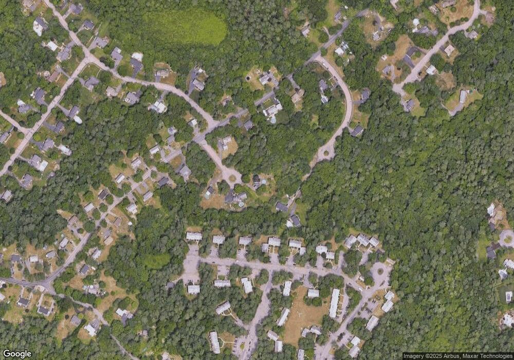
Map
Nearby Homes
- 154 Highland St
- 11 Hilltop Ln
- 157 Highland St
- 6 Pinebrook Ln Unit 6
- 1360 East St
- 36 Sierra Dr
- 27 Necco Rd
- 28 Heidi Rd
- 108 Norton Ave Unit 24
- 108 Norton Ave Unit 4
- 9 Shagbark Rd
- 55 Eastman St
- 23 Estelle Marsan Dr
- 34 Kevins Way
- 11 Kathleen Grant Rd
- 96 Kevins Way
- 43 Kathleen Grant Rd
- 18 Millfarm Dr
- 46 Kerry Dr
- 4 Plantation Rd
- 11 Valley Terrace
- 7 Pauls Way
- 14 Valley Terrace
- 158 Highland St
- 160 Highland St
- 19 Hilltop Ln
- 5 Pauls Way
- 17 Hilltop Ln
- 17 Hilltop Ln Unit 4
- 17 Hilltop Ln Unit 2
- 17 Hilltop Ln Unit 1
- 7 Hilltop Ln
- 23 Hilltop Ln Unit 4
- 23 Hilltop Ln Unit 3
- 23 Hilltop Ln Unit 2
- 23 Hilltop Ln Unit 1
- 23 Hilltop Ln Unit 2,23
- 23 Hilltop Ln Unit 3,23
- 150 Highland St
- 21 Hilltop Ln