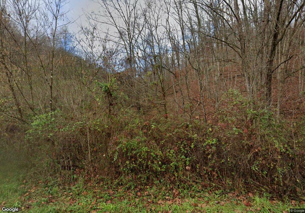
4 Pear Tree Ln Lesage, WV 25537
Estimated Value: $157,720 - $176,000
4
Beds
2
Baths
2,224
Sq Ft
$74/Sq Ft
Est. Value
About This Home
This home is located at 4 Pear Tree Ln, Lesage, WV 25537 and is currently estimated at $163,680, approximately $73 per square foot. 4 Pear Tree Ln is a home located in Cabell County with nearby schools including Cox Landing Elementary School, Barboursville Middle School, and Cabell Midland High School.
Ownership History
Date
Name
Owned For
Owner Type
Purchase Details
Closed on
Apr 23, 2025
Sold by
Gray Kagen Hunter and Gray Trenta Sue
Bought by
Ragalyi Anthony
Current Estimated Value
Home Financials for this Owner
Home Financials are based on the most recent Mortgage that was taken out on this home.
Original Mortgage
$108,000
Interest Rate
5.92%
Mortgage Type
New Conventional
Create a Home Valuation Report for This Property
The Home Valuation Report is an in-depth analysis detailing your home's value as well as a comparison with similar homes in the area
Home Values in the Area
Average Home Value in this Area
Purchase History
| Date | Buyer | Sale Price | Title Company |
|---|---|---|---|
| Ragalyi Anthony | $135,000 | None Listed On Document | |
| Ragalyi Anthony | $135,000 | None Listed On Document |
Source: Public Records
Mortgage History
| Date | Status | Borrower | Loan Amount |
|---|---|---|---|
| Previous Owner | Ragalyi Anthony | $108,000 |
Source: Public Records
Tax History Compared to Growth
Tax History
| Year | Tax Paid | Tax Assessment Tax Assessment Total Assessment is a certain percentage of the fair market value that is determined by local assessors to be the total taxable value of land and additions on the property. | Land | Improvement |
|---|---|---|---|---|
| 2024 | $877 | $79,020 | $18,180 | $60,840 |
| 2023 | $808 | $78,480 | $18,180 | $60,300 |
| 2022 | $751 | $74,280 | $18,180 | $56,100 |
| 2021 | $726 | $72,180 | $18,180 | $54,000 |
| 2020 | $685 | $71,400 | $18,180 | $53,220 |
| 2019 | $705 | $71,400 | $18,180 | $53,220 |
| 2018 | $707 | $71,400 | $18,180 | $53,220 |
| 2017 | $575 | $61,800 | $12,060 | $49,740 |
| 2016 | $574 | $61,800 | $12,060 | $49,740 |
| 2015 | $590 | $63,060 | $12,060 | $51,000 |
| 2014 | $591 | $63,060 | $12,060 | $51,000 |
Source: Public Records
Map
Nearby Homes
- 6229 Ohio River Rd
- 6454 56 Douthat Ln
- 900 Rabbit Jarrell Hollow Rd
- 767 Homestead Rd
- 410 Sanns Dr
- 8292 Big Seven Mile Rd
- 0 Big Seven Mile Rd
- 2750 Merritts Creek Rd
- 0 Township Road 1291
- 118 Township Road 1535
- 1024 Amanda St
- 1432 County Road 42
- 302 Township Road 1533
- 160 Township Road 1534
- 744 County Road 12
- 602 County Road 12
- 1086 County Road 71
- 1080 Tinker Ln
- 101 Township Road 1247
- 1101 Tinker Ln
- 6 Pear Tree Ln
- 7 Pear Tree Ln
- 3 Pear Tree Ln
- 2 Pear Tree Ln
- 11 Pear Tree Ln
- 5 Pear Tree Ln
- 459 Valleyview Dr
- 8 Pear Tree Ln
- 1 Pear Tree Ln
- 439 Valley View Dr
- 1040 Valley View Dr
- 1022 Valley View Dr
- 31 Valleyview Dr
- 1019 Valley View Dr
- 1034 Valley View Dr
- 10 Pear Tree Ln
- 1021 Valley View Dr
- 1027 Valley View Dr
- 1032 Valley View Dr
- 1025 Valley View Dr
