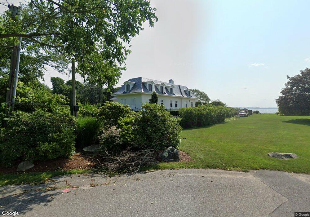
4 Pheasant Ln Barrington, RI 02806
Rumstick NeighborhoodEstimated Value: $3,477,000 - $5,502,000
About This Home
This home is located at 4 Pheasant Ln, Barrington, RI 02806 and is currently estimated at $4,333,230, approximately $709 per square foot. 4 Pheasant Ln is a home with nearby schools including Barrington High School, Barrington Christian Academy, and St. Andrews School.
Ownership History
We collect this data history from publicly available records. To have your information removed, we recommend requesting removal directly through your county’s website.
Purchase Details
Home Financials for this Owner
Home Financials are based on the most recent Mortgage that was taken out on this home.Home Values in the Area
Average Home Value in this Area
Purchase History
We collect this data history from publicly available records. To have your information removed, we recommend requesting removal directly through your county’s website.
| Date | Buyer | Sale Price | Title Company |
|---|---|---|---|
| $900,000 | -- |
Mortgage History
We collect this data history from publicly available records. To have your information removed, we recommend requesting removal directly through your county’s website.
| Date | Status | Borrower | Loan Amount |
|---|---|---|---|
| Open | $475,000 |
Tax History
We collect this data history from publicly available records. To have your information removed, we recommend requesting removal directly through your county’s website.
| Year | Tax Paid | Tax Assessment Tax Assessment Total Assessment is a certain percentage of the fair market value that is determined by local assessors to be the total taxable value of land and additions on the property. | Land | Improvement |
|---|---|---|---|---|
| 2025 | $59,550 | $3,882,000 | $2,320,000 | $1,562,000 |
| 2024 | $57,260 | $3,882,000 | $2,320,000 | $1,562,000 |
| 2023 | $53,186 | $2,620,000 | $1,489,000 | $1,131,000 |
| 2022 | $51,483 | $2,620,000 | $1,489,000 | $1,131,000 |
| 2021 | $50,173 | $2,620,000 | $1,489,000 | $1,131,000 |
| 2020 | $53,128 | $2,542,000 | $1,406,000 | $1,136,000 |
| 2019 | $28,261 | $1,406,000 | $1,406,000 | $0 |
| 2018 | $27,417 | $1,406,000 | $1,406,000 | $0 |
| 2017 | $27,832 | $1,391,600 | $1,391,600 | $0 |
| 2016 | $25,675 | $1,391,600 | $1,391,600 | $0 |
Map
- 9 Stone Tower Ln
- 204 Rumstick Rd
- 11 Chachapacasset Rd
- 19 Preston Dr
- 24 Wildflower Rd
- 74 Adams Point Rd
- 4 Jones Cir
- 72 Ferry Ln
- 22 Lantern Ln
- 2 Bagy Wrinkle Cove
- 31 Seabreeze Ln
- 45 Bagy Wrinkle Cove
- 6 Driftwood Dr
- 11 Harbour Rd
- 77 Windward Ln
- 26 Bridge St
- 81 Mathewson Rd
- 24 Patricia Ann Dr
- 0 Surf Dr
- 414 North Ln
- 8 Pheasant Ln
- 8 Strawberry Dr
- 7 Pheasant Ln
- 5 Pheasant Ln
- 9 Strawberry Dr
- 3 Strawberry Dr
- 6 Strawberry Dr
- 309 Rumstick Rd
- 10 Strawberry Dr
- 343 Rumstick Rd Unit 2
- 343 Rumstick Rd Unit 1
- 343 Rumstick Rd
- 343 Rumstick Rd Unit B
- 343 Rumstick Rd Unit A
- 305 Rumstick Rd
- 4 Strawberry Dr
- 325 Rumstick Rd
- 323 Rumstick Rd
- 307 Rumstick Rd
- 5 Vans Ln
Ask me questions while you tour the home.