4 Pine Ridge Ln Mattapoisett, MA 02739
Estimated Value: $2,009,781 - $2,272,000
4
Beds
3
Baths
3,000
Sq Ft
$704/Sq Ft
Est. Value
About This Home
This home is located at 4 Pine Ridge Ln, Mattapoisett, MA 02739 and is currently estimated at $2,111,445, approximately $703 per square foot. 4 Pine Ridge Ln is a home located in Plymouth County with nearby schools including Center School, Old Hammondtown Elementary, and Old Rochester Regional High School.
Ownership History
Date
Name
Owned For
Owner Type
Purchase Details
Closed on
Dec 19, 2014
Sold by
Russo Wendy
Bought by
Pine Ridge Lane Rt and Russo
Current Estimated Value
Purchase Details
Closed on
Jul 29, 2004
Sold by
Cannon Hill Prop Llc and Mcintire David J
Bought by
Russo Wendy
Create a Home Valuation Report for This Property
The Home Valuation Report is an in-depth analysis detailing your home's value as well as a comparison with similar homes in the area
Home Values in the Area
Average Home Value in this Area
Purchase History
| Date | Buyer | Sale Price | Title Company |
|---|---|---|---|
| Pine Ridge Lane Rt | -- | -- | |
| Pine Ridge Lane Rt | -- | -- | |
| Russo Wendy | $550,000 | -- | |
| Russo Wendy | $550,000 | -- |
Source: Public Records
Tax History Compared to Growth
Tax History
| Year | Tax Paid | Tax Assessment Tax Assessment Total Assessment is a certain percentage of the fair market value that is determined by local assessors to be the total taxable value of land and additions on the property. | Land | Improvement |
|---|---|---|---|---|
| 2025 | $19,776 | $1,837,900 | $357,400 | $1,480,500 |
| 2024 | $19,128 | $1,820,000 | $343,100 | $1,476,900 |
| 2023 | $19,226 | $1,708,937 | $376,837 | $1,332,100 |
| 2022 | $20,701 | $1,669,450 | $301,150 | $1,368,300 |
| 2021 | $20,370 | $1,571,770 | $261,870 | $1,309,900 |
| 2020 | $21,071 | $1,561,970 | $311,370 | $1,250,600 |
| 2019 | $21,139 | $1,600,200 | $336,300 | $1,263,900 |
| 2018 | $21,085 | $1,619,400 | $331,000 | $1,288,400 |
| 2017 | $23,262 | $1,779,800 | $366,400 | $1,413,400 |
| 2016 | $22,167 | $1,679,300 | $366,400 | $1,312,900 |
| 2015 | $23,565 | $1,812,700 | $432,700 | $1,380,000 |
| 2014 | $20,093 | $1,579,600 | $437,200 | $1,142,400 |
Source: Public Records
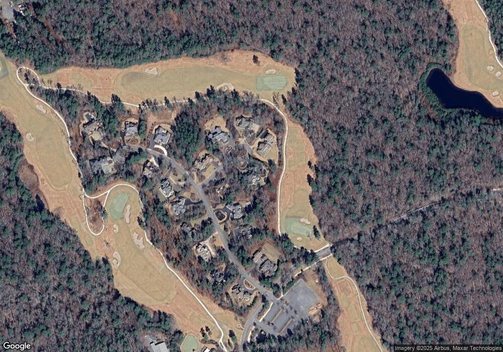
Map
Nearby Homes
- 19 High Ridge Dr
- 52 Prince Snow Cir
- 13 Park Place
- 9 Hitching Post Rd
- 31 Split Rock Ln
- 35 North St
- 8 Captains Ln
- 11 Captains Ln
- 12 Cannon St
- 7 Pearl St
- 2 Golf Cottage Way
- 4 Golf Cottage Way
- 15 Ned's Point Rd
- 47 Fairhaven Rd
- 3 Rock St
- 6 Ocean Breeze Ln
- 7 Aucoot Rd
- 83 Fairhaven Rd
- 1 Angelica Ave
- 1 Starboard Way
- 6 Pine Ridge Ln
- 8 Pine Ridge Dr
- 1 Pine Ridge Ln
- 5 Pine Ridge Ln
- 3 Pine Ridge Ln
- 00 Pine Ridge Dr
- 6 Pine Ridge Dr
- 9 Pine Ridge Dr
- 0 Pine Ridge Dr Unit 72373489
- 0 Pine Ridge Dr Unit 72484856
- 7 Pine Ridge Dr
- 7 Pine Ridge Ln
- 11 Pine Ridge Dr
- 2 Pine Ridge Dr
- 5 Pine Ridge Dr
- 3 Pine Ridge Dr
- 13 Pine Ridge Dr
- 1 Pine Ridge Dr
- 14 Pine Ridge Ln
- 14 Pine Ridge Dr