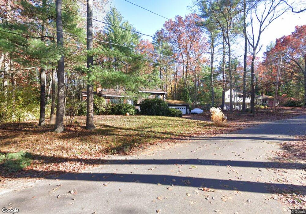
4 Pine St Sudbury, MA 01776
Estimated Value: $759,749 - $842,000
2
Beds
2
Baths
1,200
Sq Ft
$659/Sq Ft
Est. Value
About This Home
This home is located at 4 Pine St, Sudbury, MA 01776 and is currently estimated at $790,437, approximately $658 per square foot. 4 Pine St is a home located in Middlesex County with nearby schools including Peter Noyes Elementary School, Ephraim Curtis Middle School, and Lincoln-Sudbury Regional High School.
Ownership History
Date
Name
Owned For
Owner Type
Purchase Details
Closed on
Feb 27, 1989
Sold by
Russo Thomas D
Bought by
Case Robert W
Current Estimated Value
Home Financials for this Owner
Home Financials are based on the most recent Mortgage that was taken out on this home.
Original Mortgage
$182,400
Interest Rate
10.75%
Mortgage Type
Purchase Money Mortgage
Create a Home Valuation Report for This Property
The Home Valuation Report is an in-depth analysis detailing your home's value as well as a comparison with similar homes in the area
Home Values in the Area
Average Home Value in this Area
Purchase History
| Date | Buyer | Sale Price | Title Company |
|---|---|---|---|
| Case Robert W | $228,000 | -- |
Source: Public Records
Mortgage History
| Date | Status | Borrower | Loan Amount |
|---|---|---|---|
| Open | Case Robert W | $166,000 | |
| Closed | Case Robert W | $180,000 | |
| Closed | Case Robert W | $182,400 |
Source: Public Records
Tax History
| Year | Tax Paid | Tax Assessment Tax Assessment Total Assessment is a certain percentage of the fair market value that is determined by local assessors to be the total taxable value of land and additions on the property. | Land | Improvement |
|---|---|---|---|---|
| 2025 | $10,958 | $748,500 | $423,700 | $324,800 |
| 2024 | $10,588 | $724,700 | $411,300 | $313,400 |
| 2023 | $10,526 | $667,500 | $380,800 | $286,700 |
| 2022 | $9,882 | $547,500 | $349,500 | $198,000 |
| 2021 | $9,573 | $508,400 | $349,500 | $158,900 |
| 2020 | $9,360 | $507,300 | $349,500 | $157,800 |
| 2019 | $9,086 | $507,300 | $349,500 | $157,800 |
| 2018 | $9,053 | $504,900 | $372,700 | $132,200 |
| 2017 | $8,437 | $475,600 | $354,500 | $121,100 |
| 2016 | $8,199 | $460,600 | $341,000 | $119,600 |
| 2015 | $7,718 | $438,500 | $327,900 | $110,600 |
| 2014 | $7,677 | $425,800 | $318,200 | $107,600 |
Source: Public Records
Map
Nearby Homes
- 53 Pine St
- 557 Dutton Rd Unit 2
- 30 Kendall Rd
- 11 Great Lake Dr
- 15 Harness Ln
- 30 Harness Ln
- 11 October Rd
- 62 Churchill St
- 45 Webster Cir
- 30 Rolling Ln
- 22 Barracks Rd Unit 22
- 123 Dutton Rd
- 0 Robbins Rd
- 0 Boston Post Rd
- 725 Boston Post Rd Unit 12
- 788 Main St
- 55 Widow Rites Ln
- 45 Widow Rites Ln
- 786 Main St
- 8 Shoreline Dr Unit 11
Your Personal Tour Guide
Ask me questions while you tour the home.