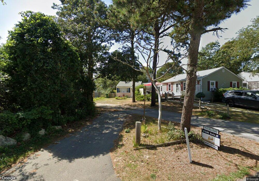
4 Poor Bob's Ln Unit A Dennis, MA 02639
Dennis Port NeighborhoodEstimated Value: $441,000 - $506,000
2
Beds
1
Bath
300
Sq Ft
$1,563/Sq Ft
Est. Value
About This Home
This home is located at 4 Poor Bob's Ln Unit A, Dennis, MA 02639 and is currently estimated at $468,847, approximately $1,562 per square foot. 4 Poor Bob's Ln Unit A is a home located in Barnstable County with nearby schools including Dennis-Yarmouth Regional High School and St. Pius X. School.
Ownership History
Date
Name
Owned For
Owner Type
Purchase Details
Closed on
Oct 18, 2017
Sold by
Byrne Ft
Bought by
Theroux Timothy J and Theroux Antonina D
Current Estimated Value
Purchase Details
Closed on
Apr 8, 2014
Sold by
Byrne Rita K
Bought by
Byrne Gift Ft
Create a Home Valuation Report for This Property
The Home Valuation Report is an in-depth analysis detailing your home's value as well as a comparison with similar homes in the area
Home Values in the Area
Average Home Value in this Area
Purchase History
| Date | Buyer | Sale Price | Title Company |
|---|---|---|---|
| Theroux Timothy J | $100,000 | -- | |
| Byrne Gift Ft | -- | -- | |
| Byrne Rita K | -- | -- |
Source: Public Records
Tax History Compared to Growth
Tax History
| Year | Tax Paid | Tax Assessment Tax Assessment Total Assessment is a certain percentage of the fair market value that is determined by local assessors to be the total taxable value of land and additions on the property. | Land | Improvement |
|---|---|---|---|---|
| 2025 | $1,790 | $413,500 | $132,300 | $281,200 |
| 2024 | $1,664 | $379,100 | $134,700 | $244,400 |
| 2023 | $1,609 | $344,600 | $122,400 | $222,200 |
| 2022 | $1,600 | $285,800 | $122,500 | $163,300 |
| 2021 | $0 | $241,000 | $108,100 | $132,900 |
| 2020 | $1,395 | $228,700 | $108,100 | $120,600 |
| 2019 | $49,026 | $206,100 | $106,000 | $100,100 |
| 2018 | $0 | $191,900 | $100,900 | $91,000 |
| 2017 | $1,162 | $189,000 | $100,900 | $88,100 |
| 2016 | $1,139 | $174,500 | $112,100 | $62,400 |
| 2015 | $1,117 | $174,500 | $112,100 | $62,400 |
| 2014 | $1,036 | $163,100 | $89,700 | $73,400 |
Source: Public Records
Map
Nearby Homes
- 37-A Beach Hills Rd
- 37 Beach Hills Rd
- 22 Ferncliff Rd
- 281 Old Wharf Rd
- 7 Ferncliff Rd
- 262 Old Wharf Rd Unit 27
- 262 Old Wharf Rd Unit 18
- 262 Old Wharf Rd Unit 67
- 262 Old Wharf Rd Unit 20
- 251 Old Wharf Rd Unit 109
- 102 Sea St
- 241 Old Wharf Rd Unit 127
- 241 Old Wharf Rd Unit 82
- 241 Old Wharf Rd Unit 90
- 241 Old Wharf Rd Unit 88
- 15 Glendon Rd
- 217 Old Wharf Rd Unit 64
- 402 Old Wharf Rd
- 402 Old Wharf Rd
- 31 Easy St
- 4 Poor Bob's Ln
- 249 Shad Hole Rd
- 3 Poor Bob's Ln Unit A
- 12 Oak St
- 14 Oak St
- 8 Oak St
- 245 Shad Hole Rd
- 5 Poor Bob's Ln Unit 5A
- 16 Oak St
- 253 Shad Hole Rd
- 253 Shad Hole Rd Unit 8A
- 6 Oak St
- 257 Shad Hole Rd
- 250 Shad Hole Rd
- 254 Shad Hole Rd
- 60 Ferncliff Rd
- 20 Oak St
- 0 Poor Bob's Ln
- 23 Oak St
- 246 Shad Hole Rd